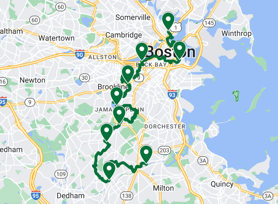
Location
Massachusetts,
US
Distance
44.1 km
Vertical Gain
423 m
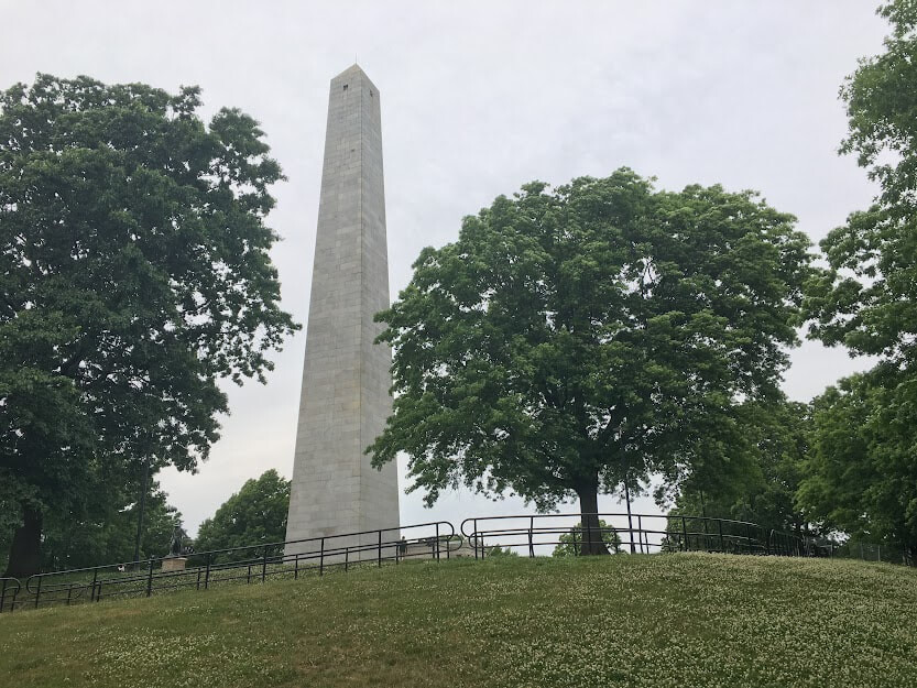
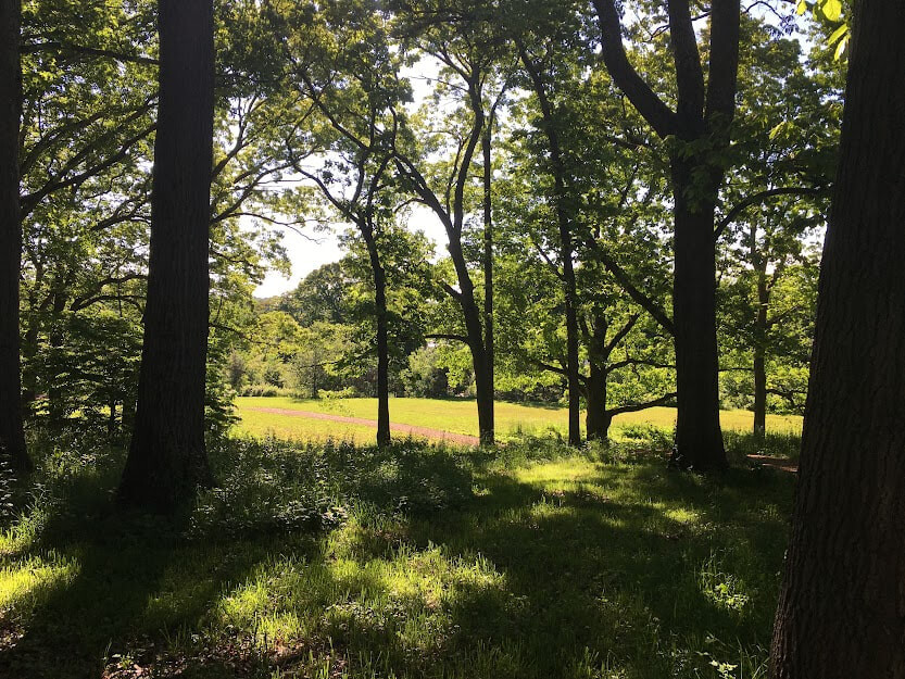
Description
GPS Track
Boston Walking City Trail.gpx237.77 KB
FKTs
Female
Male
Mixed-gender team
| Denise Klatt | 6h 2m 17s |
| Torin Clark | Flagged | 6h 9m 41s |
| Liza OConnor, Andre Gutierrez Marty | 6h 26m 29s |
Images

Comments
I love this route! Going to take a crack at this one at the end of November!