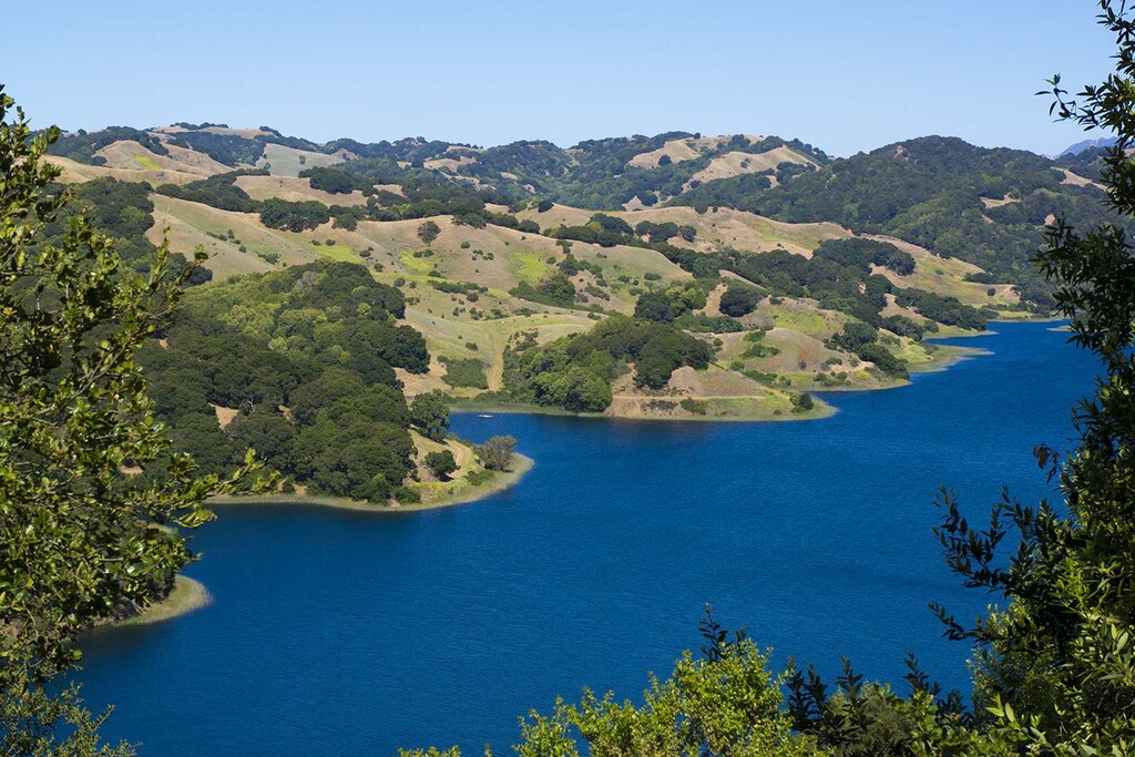
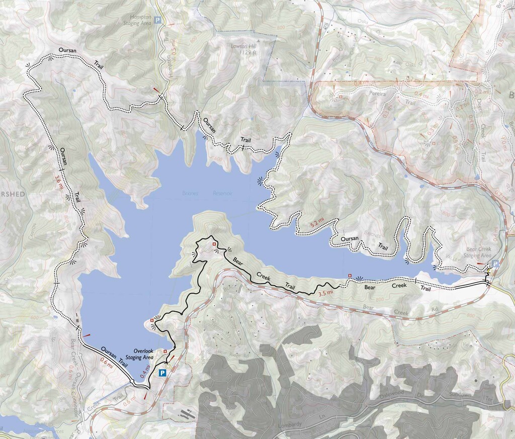
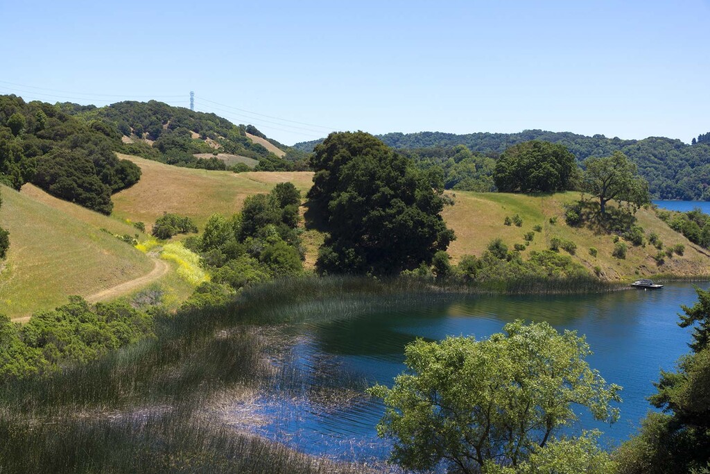
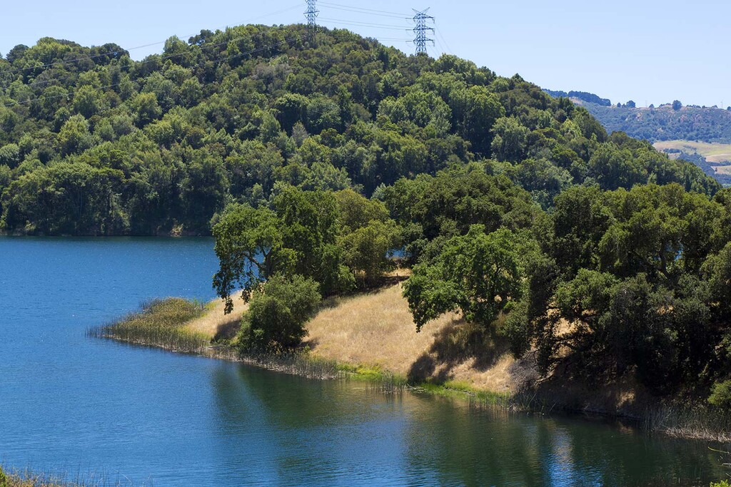
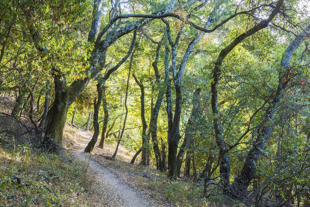
The Briones Reservoir Loop is a hidden gem in the East Bay hills that offers a quieter, more secluded hiking experience than many of the region’s better-known parks. This 13-mile loop winds around the scenic Briones Reservoir and features a diverse mix of landscapes from wide-open grassy ridgelines to cool, shaded oak and bay laurel forests. What makes this route particularly special is how remote it feels, especially along the northern shoreline, where visitors are few and the trail hugs the reedy banks of the reservoir in peaceful solitude. About a quarter of the loop is singletrack trail, rare for East Bay Municipal Utility District (EBMUD) properties, which adds to the sense of immersion in nature. You can start and end at the Bear Creek Staging Area or the Briones Overlook Staging Area.
The route is relatively gentle for its length. There are sweeping views of the reservoir, moments of deep shade under ancient trees, and the changing character of the trail as it transitions from gravel road to narrow, wooded paths. The southern portion of the loop, including the Bear Creek Trail, is more popular and easily accessed for shorter hikes, especially around the scenic overlook with benches. However, the stretch between the dam and the Hampton Trail is notoriously muddy after even light rain, due to sticky clay soil so dry conditions are best. There is a fair amount of poison oak (and likely other plants that irritate skin) so be prepared to take a quick shower after or wear some leggings. A $10 annual EBMUD permit is required and can be easily purchased online here: https://www.ebmud.com/recreation/buy-trail-permit. It's an electronic permit and anyone using the trail needs to sign a registry at the start with their permit number.
For a detailed map and overview of the Briones Reservoir Loop, visit this page by Redwood Hikes: https://redwoodhikes.com/EastBay/BrionesReservoir.html or All Trails: https://www.alltrails.com/trail/us/california/briones-reservoir-loop-bear-creek-oursan-hampton-trails
Please note, distances and elevation gains vary across the gpx I submitted and the above links. The submitted gpx was based off my Coros watch when I completed the run and therefore I think is the most accurate.
Comments
There appears to be Strava sections for this route:
https://www.strava.com/segments/1501718
https://www.strava.com/segments/3389797