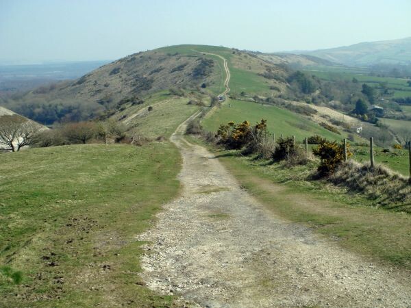
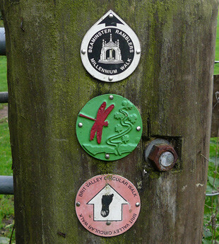
The Brit Valley Way is a 20 KM challenging trail route between West Bay on the Dorset (UK) coast up to Chedington, north of Beaminster.
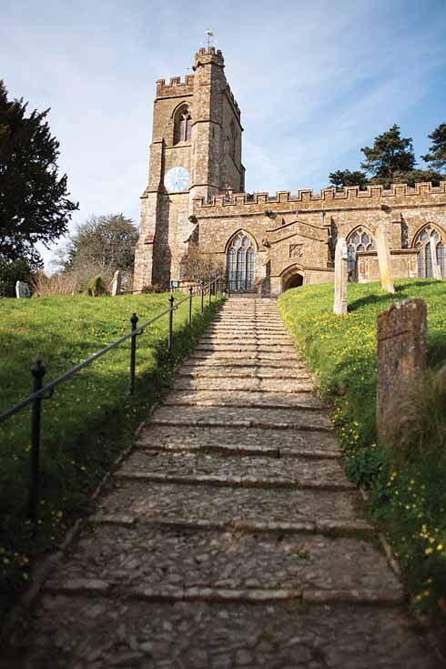
It takes you from the cliffs of the Jurassic Coast, through floodplains and grassy pastures, past Netherbury to Beaminster. It enters Beaminster Square via Mary Wells Street and leaves via Fleet Street, rising quite steeply up to Buckham Down where there are panoramic views to the sea. From here the route continues to Wynyards Gap, near Chedington, where the River Brit rises and flows south. The Brit Valley Way rewards you with one of the finest views in West Dorset.