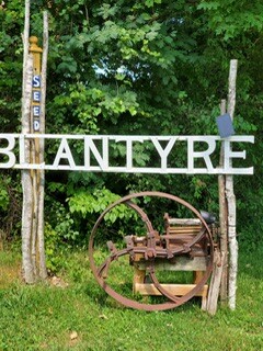
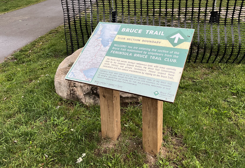
The Sydenham section is one of nine sections of the 890km Bruce Trail, Canada's longest and oldest marked trail. This section is an approximately 170km section of trail starting at the end of the Beaver Valley section. More specifically, it starts in Blantyre and along the escarpment for about 170km until it arrives in Bluewater Park in downtown Wiarton. It is a very beautiful, yet rocky and rugged section!
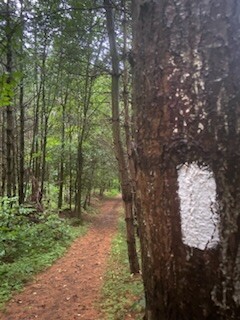
The Trail passes through hardwood forests and farms, past wetlands, small creeks, the lovely Walters Falls, and features some beautiful lookouts over the Big Head valley.
Turning north, the Trail soon arrives at the Bognor Marsh Management Area. Bognor Marsh includes upland forests, three major marshes, natural regeneration areas, and several small springs feeding the marsh and stream system, which are home to a variety of waterfowl and other marsh-living animals, birds and plants. The Trail passes by an education shelter, and follows boardwalks with interpretive signs, and a viewing tower from which to enjoy the marsh and its inhabitants.
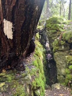
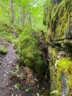
The Trail soon passes through the Silent Valley property, a fascinating area to explore geology, history, and cultural heritage.
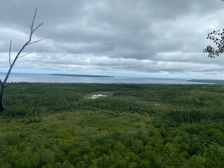
The Trail then heads out to the Bayview Escarpment Provincial Nature Reserve, with broad, sweeping outlooks over the Meaford Tank Range, and beyond to Georgian Bay and as far as Collingwood.
Returning toward Owen Sound (the city), you hike through the Sydenham Forests, and notice occasional outlooks to Owen Sound (the bay). The Trail soon arrives at the Centennial Tower, with its exceptional views of the Owen Sound re-entrant valley. From the Tower you head south again through some spectacular fern glens and the BTC's Palisades property on the “East Rocks”, eventually arriving at the well-known Inglis Falls at Inglis Falls Conservation Area. Heading north from Inglis Falls the Trail reaches the "West Rocks" at West Rocks Management Area and past some great lookouts over the city.
Heading north from Owen Sound the Trail enters the Pottawatomi Conservation Area where you can stand atop the lip of Jones Falls looking straight down as the water plunges over the Escarpment.
The Trail leaves Owen Sound via the Georgian Bluff Rail Trail, wanders through the Fossil Glen property, and soon arrives at The Glen Management Area. This horseshoe shaped indentation in the Escarpment was carved millennia ago by glaciers. As you walk along the cliff tops, you can look down into a sea of green that contains a significant wetland and waterfowl population!
After passing by the 'Slough of Despond' you come to another gem of the Sydenham Section - the 11 km stretch from Skinner's Bluff to the Bruce's Caves Conservation Area parking lot. Along here there are many spectacular lookouts over Colpoys Bay
Another 7 km past Bruce's Caves will bring you to Bluewater Park in Wiarton where we link up with the Peninsula section.
https://www.sydenhambrucetrail.ca
NOTE: Please always review the Trail Changes and Reroutes on the Bruce Trail Website as there are numerous changes every year, depending on land owner agreements and trail acquisitions. Trail Changes and Notices Page #
The Bruce Trail also has an app Bruce Trail App | Bruce Trail Conservancy See the trail maps and latest updates for $2.99/month or $29.99/year (2025 prices)