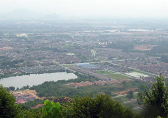
Bukit Kledang is a hill in Perak, rising above the suburb of Menglembu on the western edge of Ipoh. At its highest point it is 2651 feet or 808 metres above sea level, making it the 245th highest mountain in Malaysia, according to my Top 300 List.
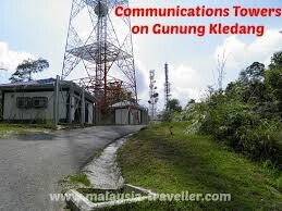
The trails to hilltop consist of several jungle treks, including a paved road. The longest trail as RTM as it ends at a broadcasting tower, perched on top of Kledang Hill. You can actually drive a car (4wd preferable) all the way up to the broadcasting tower or popularly known as RTM station at the peak.
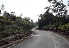
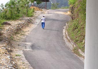
The main road trail is a 6.4km upslope tar road all the way to the summit of Bukit Kledang which is 800 meters tall and the downhill is about 4.2km. There are plenty of resting huts on route for resting.
Starting from the main road up hill to the Top and came back as one big loops at 10.50km, EG is 798m