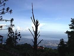
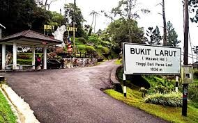
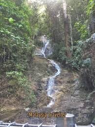
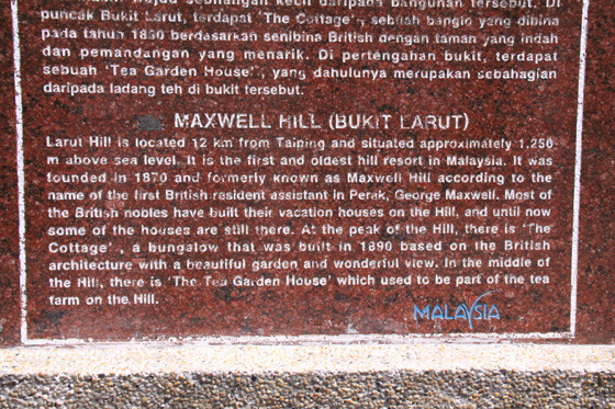
Bukit Larut (formerly known as Maxwell Hill) is a popular highland destination in Malaysia. Located at an altitude of 1,250 m above sea level approximately 10 km from Taiping town in Perak; it is the wettest area in the country which experiences the highest rainfall. Bukit Larut is also home to the oldest hill station in Malaysia, built by William Edward Maxwell, a British Assistant Resident in Perak, in 1884 to provide a cool retreat for the colonial officials. In 1910, the hill resort was gazetted as a permanent forest reserve.
The history of Bukit Larut dates back to the Larut Wars which occurred in 1861 between Chinese underground societies Han San and Ghee Hin over Tin Mine control in Klian Puah (predecessor to Taiping, leading to British intervention into Taiping and later The Pangkor Treaty of 1874 which allowed the British administration in Perak.The British Governor insisted to look for a place where the administration and the tin mining activity could be seen from a hilltop from a place of retreat for the English people near Larut and Taiping.
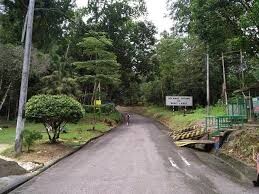
The summit is accessible by only one 13 km road that links between Taiping and Bukit Larut . Due to the steep and narrow nature of the road, only a single vehicle can pass in a single direction, hence road access is restricted to four-wheel vehicle or by foot only. The Larut, Matang and Selama District office provides passengers access to Bukit Larut with their Land Rover vehicles from 9 AM until 5 PM daily. The road is currently maintained by JKR and the condition is well maintained.
The starting from the entrance to the hill top of bukit larut only 11.25km oneway, with reverse route is 22.50km.