Location
Montana,
US
Distance
64 mi
Vertical Gain
27,145 ft
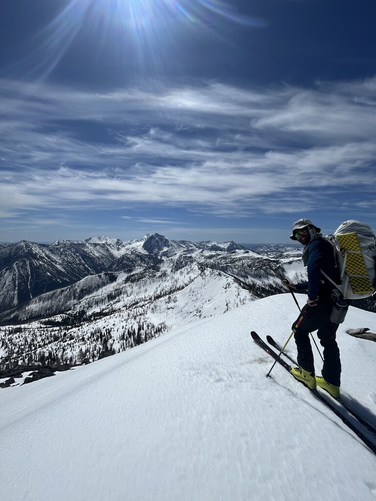
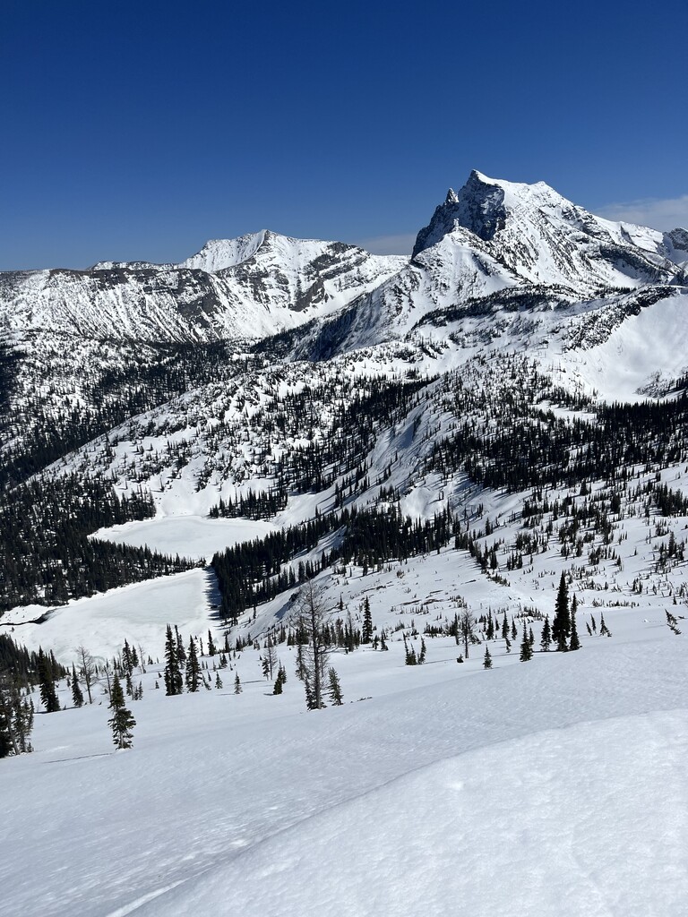
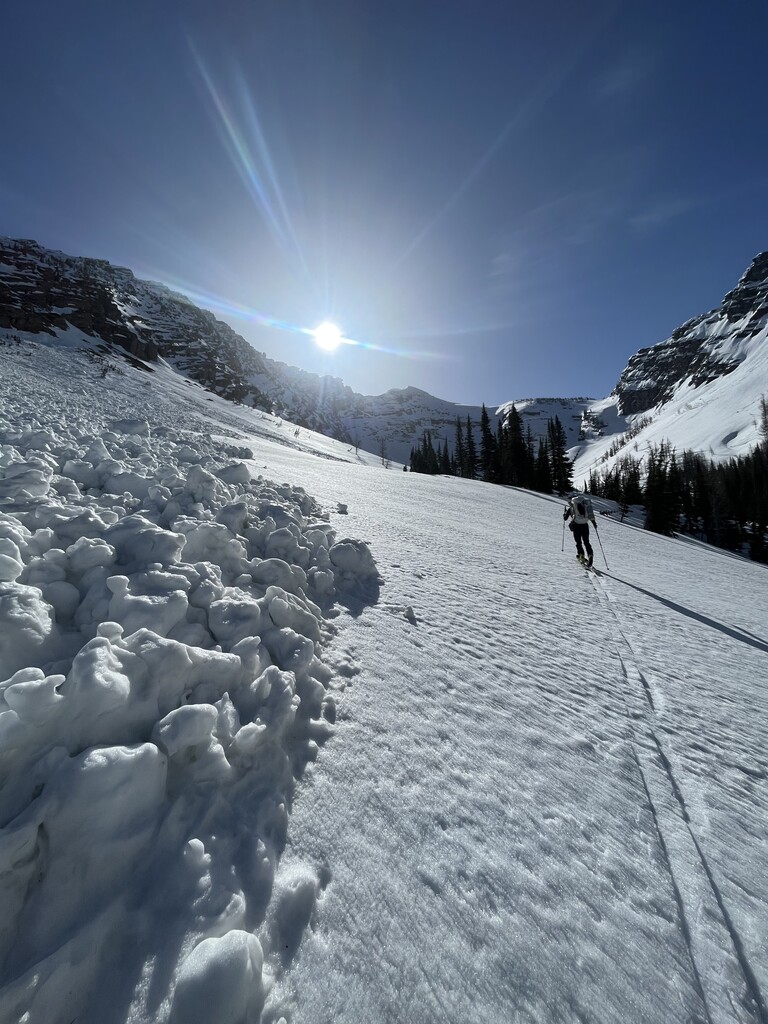
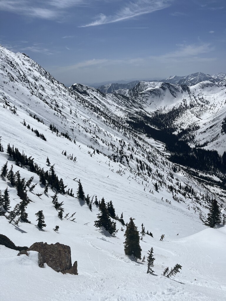
Description
GPS Track
Final leg.gpx390.55 KB
Traverse leg 1.gpx446.61 KB
FKTs
Male
| Caleb Goss, Jonah Job | 4d 15h 0m 0s |
Images
Comments
Solid work. This isn't easy country to navigate! Often big storms and very little 'beta' available on the area so you have to enter with a healthy sense of adventure or do your own reconnaissance!
@skisandtrees Hey, someone alerted me you were wondering who was in the headwaters of the middle fork skiing. I'm guessing that was us! We summited an unknown peak (that we named dragon cause on colored topi maps or looks like a dragon in a fwd swipe with its wings). Anyway, we did that on 4/11. Either someone else was in there too or our tracks stayed!