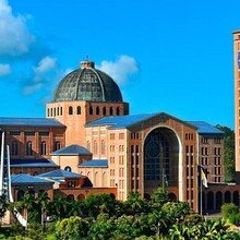
The Caminhos de Nossa Senhora (CNS) is a pilgrimage route that was created in 2009 by the Polish priest Cristóvão Sopicki. It extends from the state of Rio de Janeiro to the state of São Paulo, with the objective of reaching the Cathedral Basilica National Sanctuary of Nossa Senhora Conceição Aparecida, in the city of Aparecida / SP, which is the largest Catholic temple in Brazil and the second largest in the world, smaller only than St. Peter's Basilica in the Vatican.
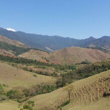
The CNS, which starts in the Piabetá neighborhood, in the city of Magé / RJ, has a total length of 388 kilometers and more than 6,000 meters of accumulated positive gain, which can be covered on foot, by bicycle or on horseback, passing through the mountains of Petrópolis , Miguel Pereira, Paty do Alferes, Vassouras, Conservatória, São José do Turvo, Nossa Senhora do Amparo, Quatis, São José do Barreiro, Areias, Silveiras and Cachoeira Paulista, until the end in the Basilica of Aparecida.
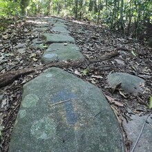
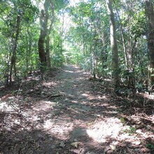
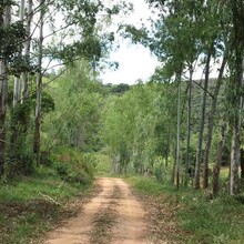
The CNS travels through historic cities, such as Petrópolis, the seat of the old empire in Brazil, but also many small towns that seem to have stopped in time, and with the entire route interconnected by trails and roads with the specific CNS marking, the famous yellow arrows.


