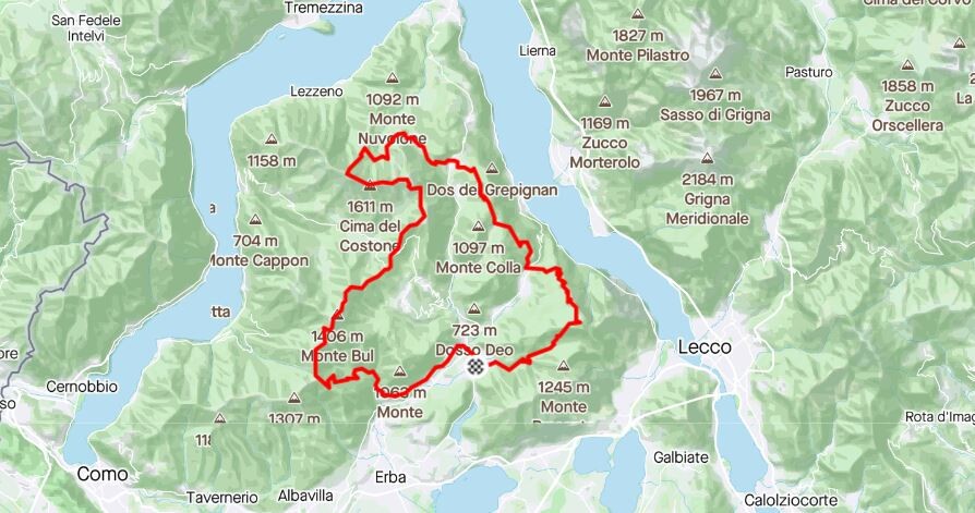
The Route
Starting from the little village of Canzo, the route takes immediately it's way up to the Corno di Canzo Occidentale. From this point it goes north, aiming for Monte San Primo, highest point of the track, passing through the villages of Maisano and Magreglio. On top of Monte San Primo, with the beautiful view of Bellagio and Lake Como, the route goes south following the ridge that leads to Monte Palanzone and Bocchetta di Lemna. From this point a severe downhill takes to Canzo to complete the 52km and 2825 meter of elevation gain.
Lake Como is the costant presence of this route, which develops on a pre-alpine territory, passing through oak, chestnut and beech forests.
Main life bases are Rifugio S.E.V, Rifugio Martina and Rifugio Riella, but the presence of many villages makes this route really safe in case of any inconvenience.