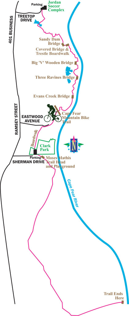
Route: Cape Fear River Trail (North Carolina)

Location
North Carolina, US
Distance
10.7 mi
Description

Submitted by Mathue Johnson:

Fayetteville, North Carolina

The Cape Fear River Trail is a 10-foot wide paved path for walkers, joggers, bicyclists and others utilizing non-motorized transportation. The trails winds for 5.5 miles one-way (11 miles out and back) through a beautiful blend of trees, plants and wildlife with spectacular views of the river. The terrain can be flat or slightly hilly. In addition to the wooden bridges, including one covered bridge, there is over 1,000 feet of boardwalk through the marsh and wetlands along the trail. Along the trail are interpretive signs explaining the wildlife and plant life found in the area. There are more than 700 species of plants and trees, and 150 species of birds. The River Trail area is also home to an unusual combination and diversity of hardwood trees. Frogs, lizards and turtles are common sights, with an occasional deer.

GPS Track
Images

Comments

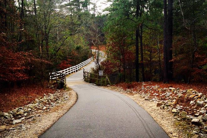
I took a swing at this one on 3/21. There is a bridge out at the 5.1 mile mark heading southbound. The bridge is entirely barricaded and impassable. Until this changes, I don't suggest trying to run this route!

I found a notice online that the bridge was closed in June, 2020 but no indication how long it may be out.