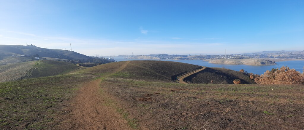
Route: Carquinez Bridge to Bridge Loop (CA)

Submitted by benremitchell on Sat, 12/24/2022 - 07:09pm
Location
California, US
Distance
30 mi
Vertical Gain
3,100 ft
Description

This iconic route crosses both the Carquinez Bridge and the Benicia-Martinez Bridge and roughly follows the coastlines on either side of the Carquinez Straight to create a 30+ mile loop. Some of the trails utilized include: Carquinez Straight Trail, San Francisco Bay Trail, Bay Area Ridge Trail, George Miller Regional Trail, & Bull Valley Trail.

The gpx route should be generally adhered to. Small deviations are acceptable. However, be sure to take the "scenic route" where shown. In other words, where the route goes closer to the shoreline and a shorter, more direct route is possible, adhering to the "scenic route," as shown by the gpx file, is mandatory (i.e. the exploration of Grangers' Wharf and Martinez Regional Shoreline, the tour of Benicia's shoreline & marina, the tangental trails just south off of Mike Taugher Trail, and the Carquinez Trail loop at Dillon Point.)

There are a lot of turns in this route. Recon is recommended if you don't have familiarity, as phone nav becomes pretty time-consuming. Good luck!