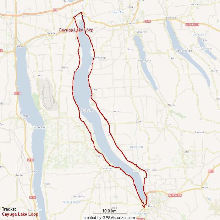
Cayuga Lake is the crown jewel in the heart of New York's beautiful Finger Lakes Region. Of the eleven officially recognized lakes in this geological group, Cayuga is the longest from top to bottom, widest at its mid-point, has the most elevation change around its traversable perimeter, and covers the most distance traveled when looping around.
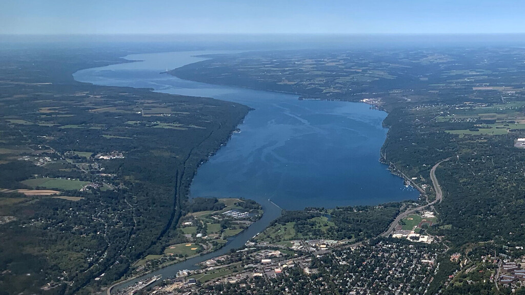
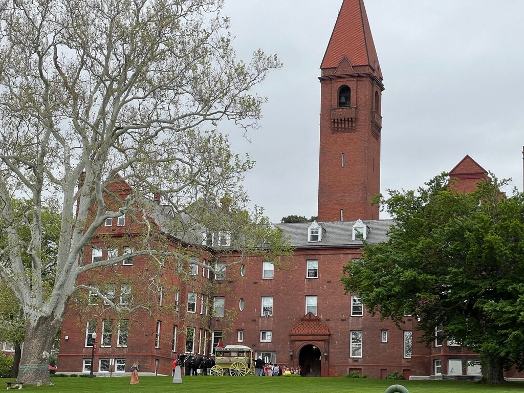
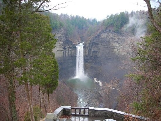
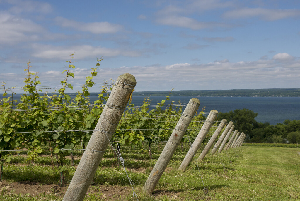
Along the route, you will experience the award-winning Finger Lakes wineries and vineyards along the West Shore and cross a bridge over Taughannock Falls- the tallest waterfall East of the Rockies (yes, it's 50ft taller than Niagara Falls!). The City of Ithaca at the South, home of the Ivy League's Cornell University, can be an easy spot to start/finish, or a conveniently placed half-way marker for an aid station. Along the East Shore, you will travel through the lakeside villages of Cayuga, Union Springs, Aurora, Lansing and many more- several of which are older than New York State itself. The upper ridges on the Southeast give spectacular panoramic views of the lake and surrounding areas. In the North, you will pass through sections of the Cayuga Nation- where hundreds of Iroquois still reside and historic markers highlight many spots of significance from the American Revolutionary War.
This loop is safely runnable- with sidewalks through cities and villages, wide shoulders and courteous drivers on the busier roads. Terrain is paved asphalt and concrete sidewalks. Elevation is rolling shoreline roads on the West, mostly flat on the East, and large ascents/descents around Ithaca in the Southern valley.