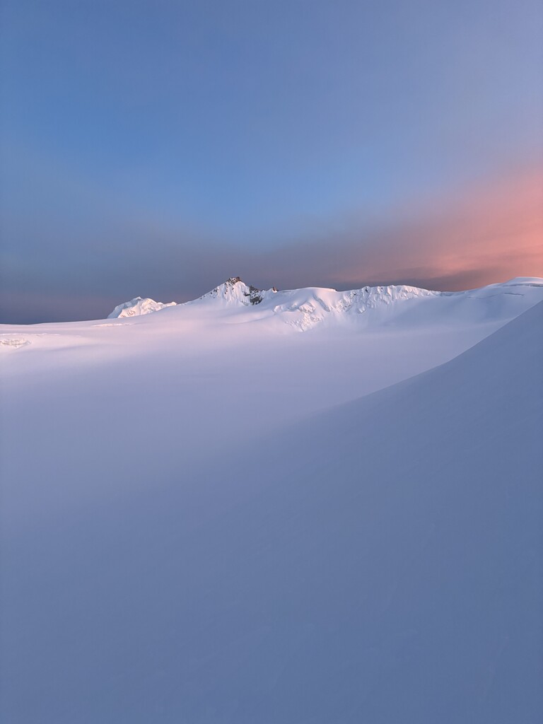
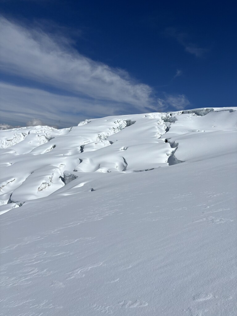
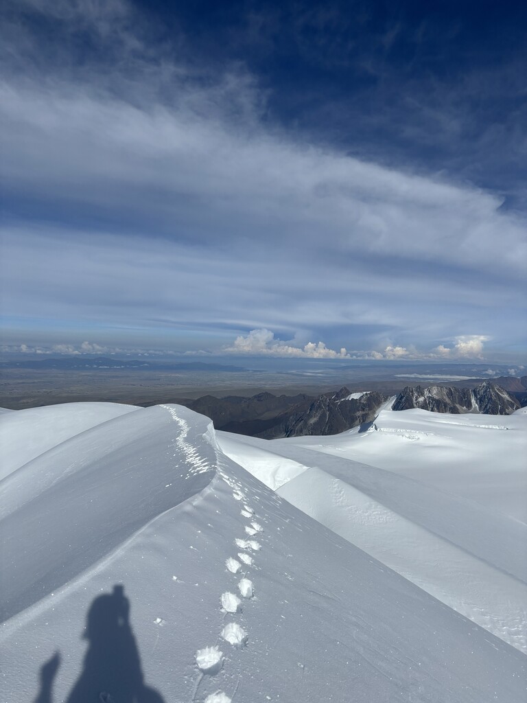
It's about 3k from basecamp to Campo Alto, all rock, fairly easy to follow. Trail running shoes or hiking boots are fine. You will pass a laguna on your left and then hit campo Alto. After Campo Alto, there is a vertical pitch of mixed terrain ~20m that will require ice axe and crampons and rope (depending on your exposure tolerance) to access the glacier. Once on the glacier, you will head northeast toward the first false summit. There are a lot of crevasses so allow yourself extra time for navigation. The climb itself is pretty straight forward, just long. At about 5800m, you will go behind the false summit and to approach Sur from the north. After ~200m of climbing, you will hit an absolutely stunning ridgeline which connects Sur, Central and Norte. Be aware of cornices. For the return trip, instead of backtracking to Sur, you can come down from Central. In total it is about 15.5 K round trip with 1600m of vert. Bring lots of sunscreen!