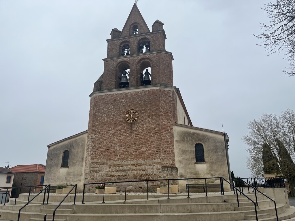
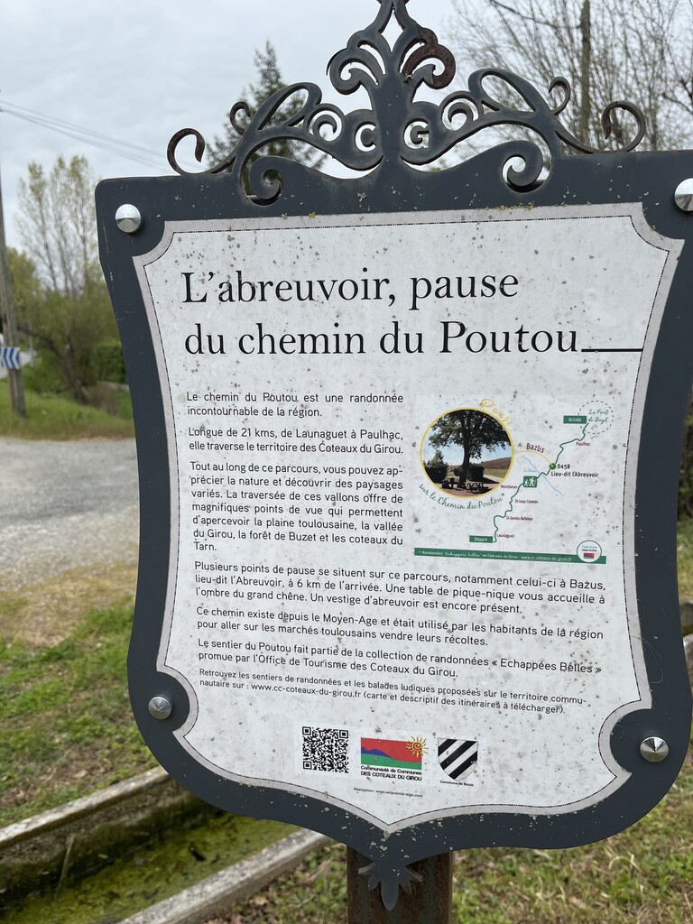
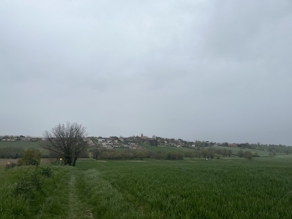
Route name: Chemin du Poutou – Launaguet to Paulhac
Type: Point-to-point
Distance: 21,3 km
Elevation gain: 285 m
Description:
The Chemin du Poutou is a historical rural path connecting the village of Launaguet to Paulhac, north-east of Toulouse (France). The route crosses rolling hills, farmland tracks, forest sections and small villages, offering wide views over the Toulouse plain, the Girou valley, the Buzet forest and the Tarn hills. It is an established 21,3 km, itinerary used in local events (no trail race) and published by Haute-Garonne Tourisme. It passes through Saint-Geniès-Bellevue, Saint-Loup-Cammas, Montberon, Bazus and Paulhac to end up in the Buzet forest.
Why this route: Clear historical coherence, continuous signage, perfect for a mid-distance FKT, accessible all year.
Start: Launaguet – Gymnase La Palanque
Finish: Paulhac – Foret de Buzet - Maison de la Biodiversité
Website : Fiche-sentier-3-poutou.pdf