Location
Alaska,
US
Distance
31.5 mi
Vertical Gain
8,300 ft
Description
GPS Track
Chena_Dome_Trail_.gpx724.71 KB
FKTs
Male
| Jacob Case | 9h 33m 29s |
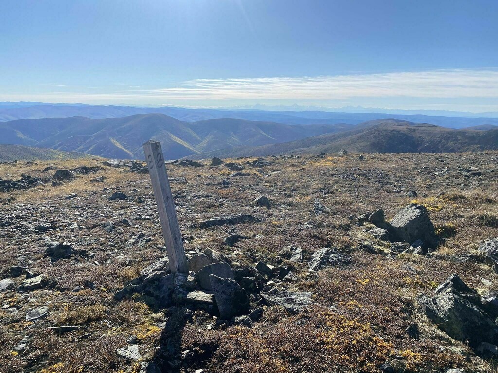
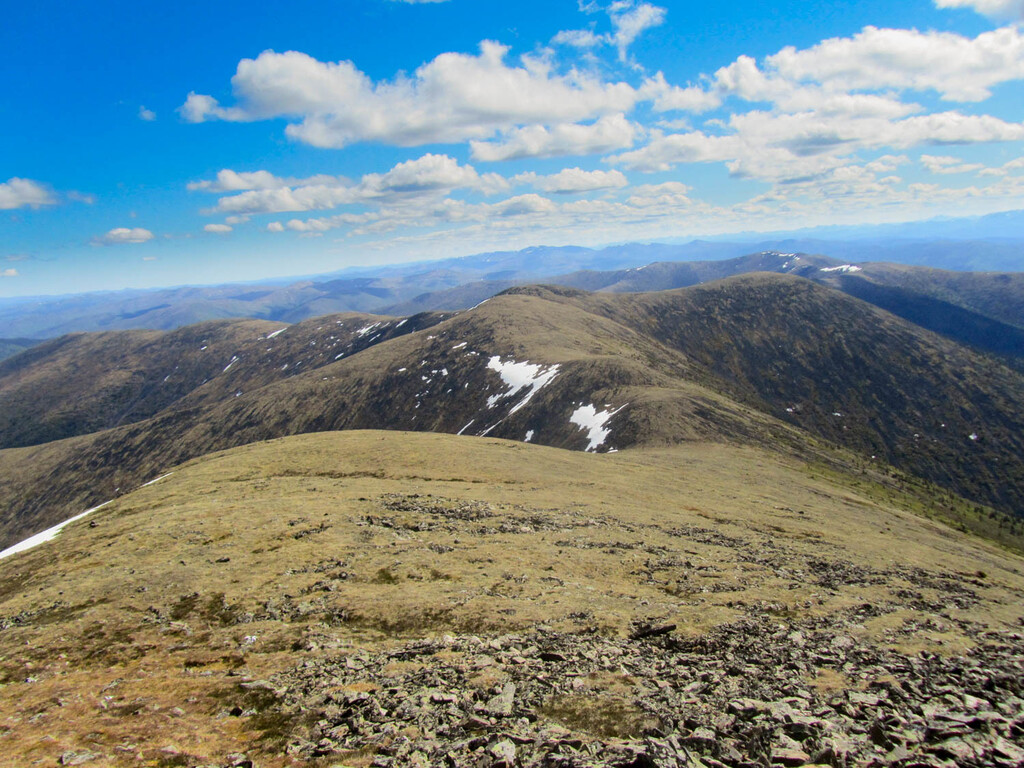
Images