Location
United Kingdom
Distance
155.4 km
Vertical Gain
300 m
Description
GPS Track
CheshireRingCanalWalk.gpx74.29 KB
FKTs
Male
| Mark Bebbington | 23h 6m 15s |
Images
Comments
Has anyone posted a time for this route?...
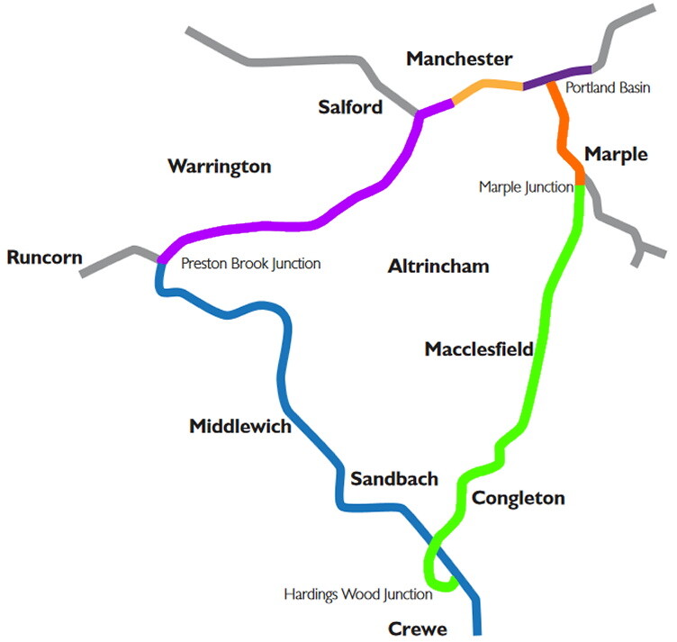
This GPS (147.8 km + 500 m) has a gap near Congleton. A more accurate distance is 155.4 km +1148 m as on its LDWA page.
Kieran Walsh ran the route in 21:30 in 2012, and 23:00 in 2013, as described on this Lymm Runners page. I haven't found mentions online of attempts by anyone else.
Kieran Walshe, I mean.
I attempted this self-supported in June 2024 but stopped due to injury concern. I had a plan to resupply at 3 shops - Aldi in Hyde, Premier, Buxton Road Macclesfield and Morrisons Daily Middlewich.
I believe there's since been a successful self-supported completion in 21 hours 16 minutes. I don't know if the runner is intending on posting on here, but that's apparently the time to aim for.