INTRODUCTION:
Land Acknowledgement: The Cowlitz, the Confederated Tribes of Grand Ronde, the Confederated Tribes of Siletz Indians, Multnomah, Klickitat, and the Yakama tribes have called this land their home for thousands of years.
The land is currently public land being maintained and operated by the Gifford Pinchot National Forest ( https://www.fs.usda.gov/giffordpinchot/ ), the Silver Star Scenic Area ( https://www.fs.usda.gov/recarea/giffordpinchot/recarea/?recid=32122 ) and the Yacolt Burn State Forest ( https://www.dnr.wa.gov/Yacolt )
The original 1986 concept of the Chinook Trail was envisioned as a 300-mile rim-top loop trail that would encircle the Columbia River Gorge on both its banks in Washington and Oregon states and via designated connector trails, would connect with the Pacific Crest Trail and local communities. ( https://www.wta.org/go-hiking/hikes/chinook )
The Chinook Trail Association was chartered in 1988 and is charged with the responsibility to protect and expand the trails network to complete the bi-state scenic loop in the Columbia River Gorge. ( https://www.chinooktrails.org/chinook_trail_trip_resources/Chinook_Trail_Guide_NRT_Part_1.pdf )
SECTION 1 of the Chinook National RecreationTrail, (the focus of this FKT route submission), a 29.5 section of the overall loop, was designated as a National Recreation Trail in 2005.
Completing the 300-mile bi-state loop of this trail will require the cooperation of several local, state, and Federal agencies.
ROUTE GENERAL DESCRIPTION:
The route starts at a driveable trailhead located at the boundary between the Gifford Pinchot National Forest and the Yacolt Burn State Forest with views of the nearby Bluff Mountain, Little Baldy Mountain, and the McKinley Ridge peaks. The first few (#1 - #7) segments of the route are through forested areas except where it traverses peaks where the route gets rocky. The trail is single-track with several stream crossings, some intersecting logging roads, and some campgrounds. There are views of the Mount Saint Helens volcano along the Tarbell Trail and the Bells Mountain Trail. The end of Segment 7 drops down to the East Lewis River Trail. The last segment (#8) is a gravel road parallel to the scenic Lewis River with several waterfalls and an abandoned rail track closer to the Hantwick Road trailhead.
ROUTE MAPPING:
Start: NF Road 41 Junction ( NF-502, Washougal, WA 98671 ) ( 84QVQRJM+68 )
Segment 1 - NF 502: 2.2 miles ( 84QVQR48+48 )
Segment 2 - Bluff Mountain Trail: 4 miles ( PQX5+8MG Dole, Washington )
Segment 3 - Silver Star Mountain Summit Loop - 1 mile ( PQX6+39V Dole, Washington )
Segment 4 - Silver Star Trail: 0.9 miles (not marked on Google Maps)
Segment 5 - Chinook Trail: 2.3 miles (not marked on Google Maps)
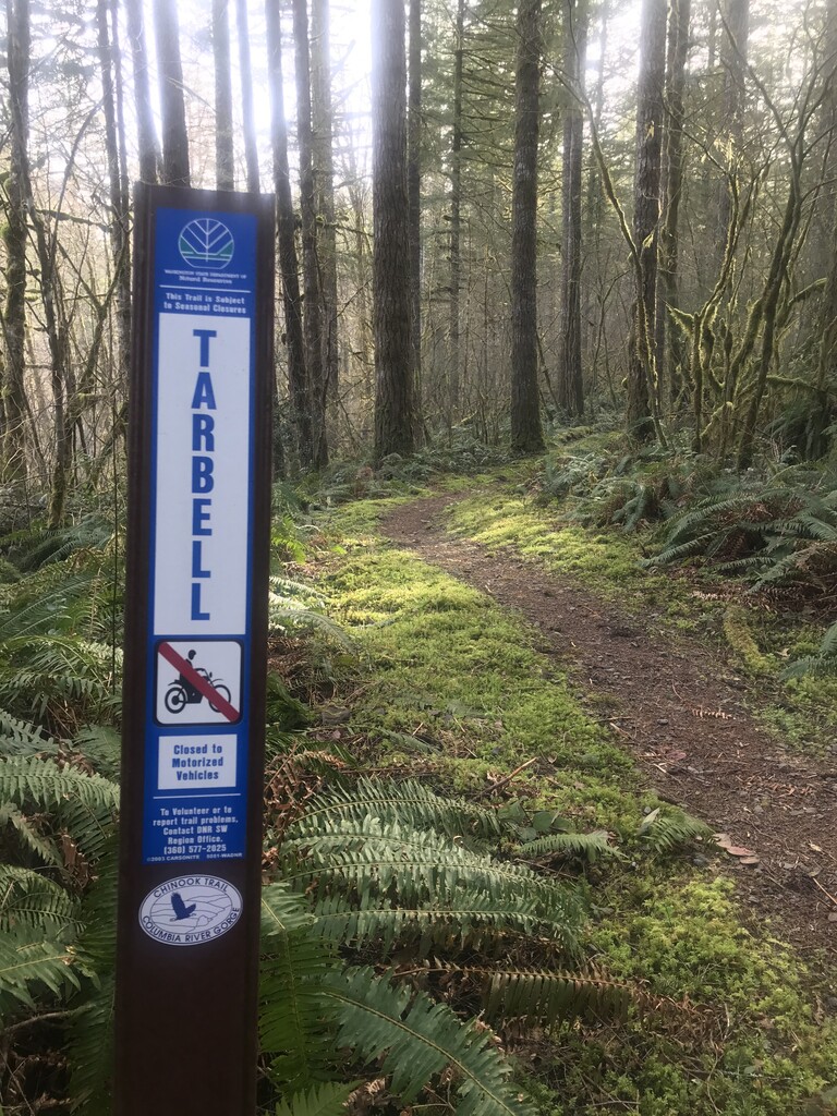
Segment 6 - Tarbell Trail: 8.6 miles ( QPC5+QW7 Dole, Washington ) (see photo attached)
Segment 7 - Bells Mountain Trail: 8.4 miles ( QM2F+H23 Dole, Washington )
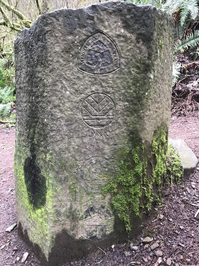
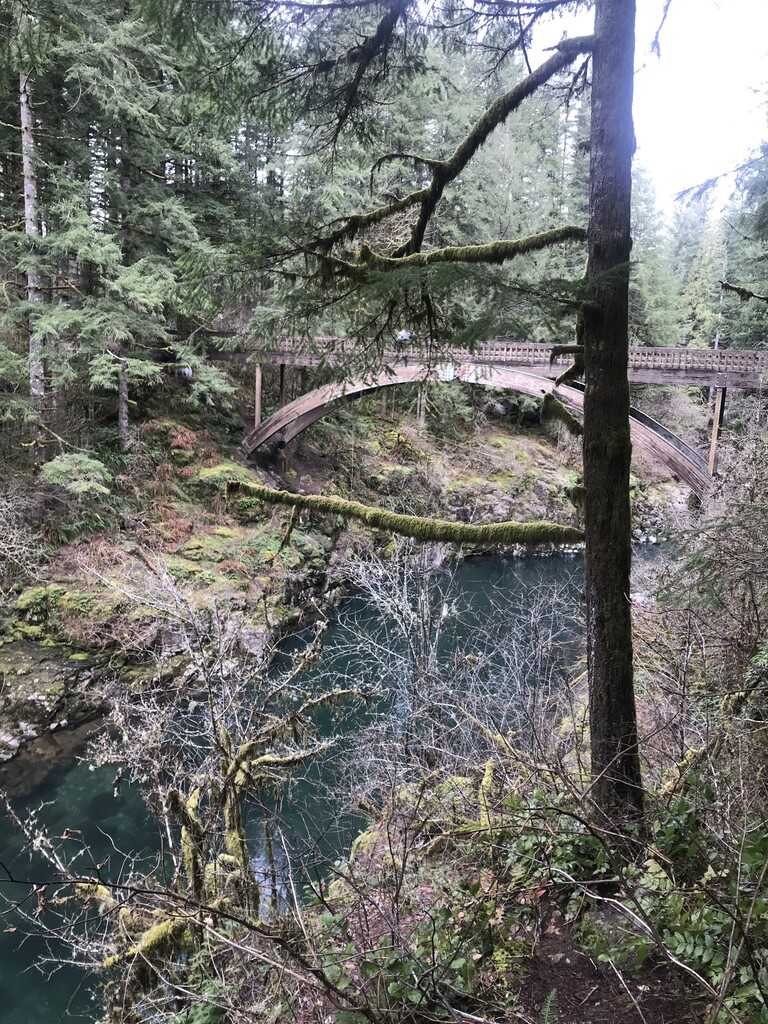
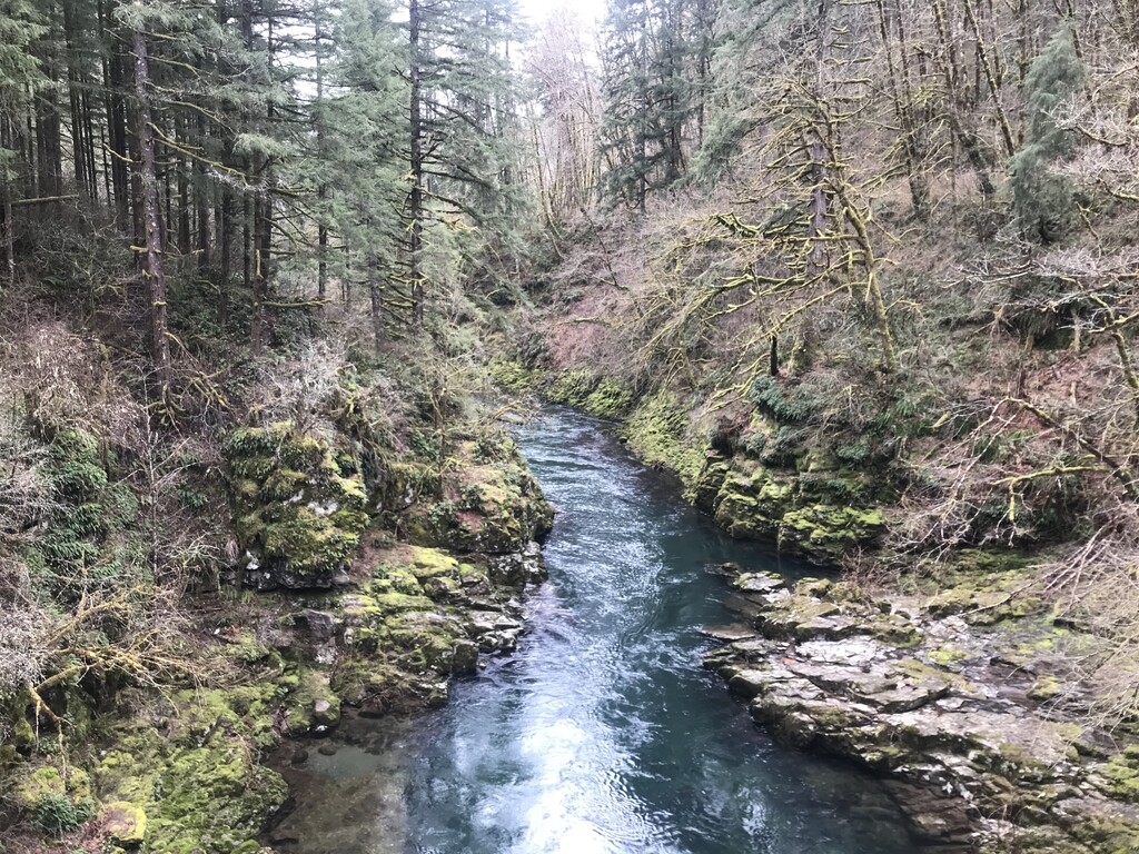
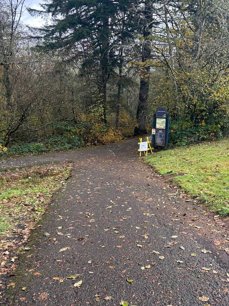
Segment 8 - Moulton Falls Trail: 2.1 miles ( RJM4+277 Moulton, Washington ) (see photo of stone monument & Lewis River)
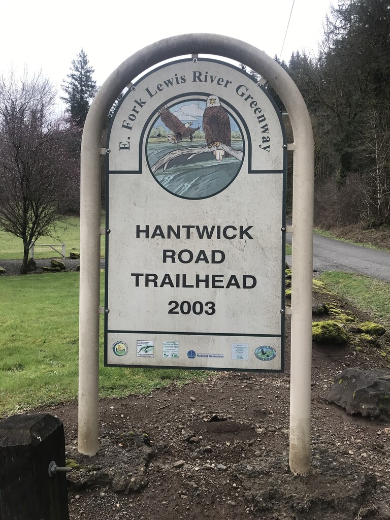
End: Hantwick Road Trailhead ( 29643 NE Hantwick Rd, Yacolt, WA 98675 ) ( RHQ8+49 Yacolt, Washington ) (see photo of trailhead sign attached)