Route submitted by: Mohit Oberoi, Nakul Butta
INTRODUCTION
Churdhar trek is a popular route for religious pilgrims as well as outdoors enthusiasts. Majority of folks start their trek from Nohradhar and return via the same route. This FKT route begins from Deedah and traverses the range to Churdhar Peak. The return trip is via the more popular route heading to Nohradhar.
SUMMARY
This FKT is a point-to-point route, starting from Deedag (Himgiri Nature Resort) and ending at Nohradhar. The high point of the route is Churdhar Peak (3,647 metres / 11,965 feet), which is also the highest peak in Sirmour district, Himachal Pradesh.
ROUTE DESCRIPTION
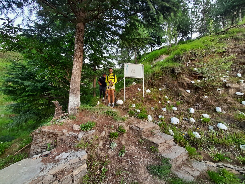
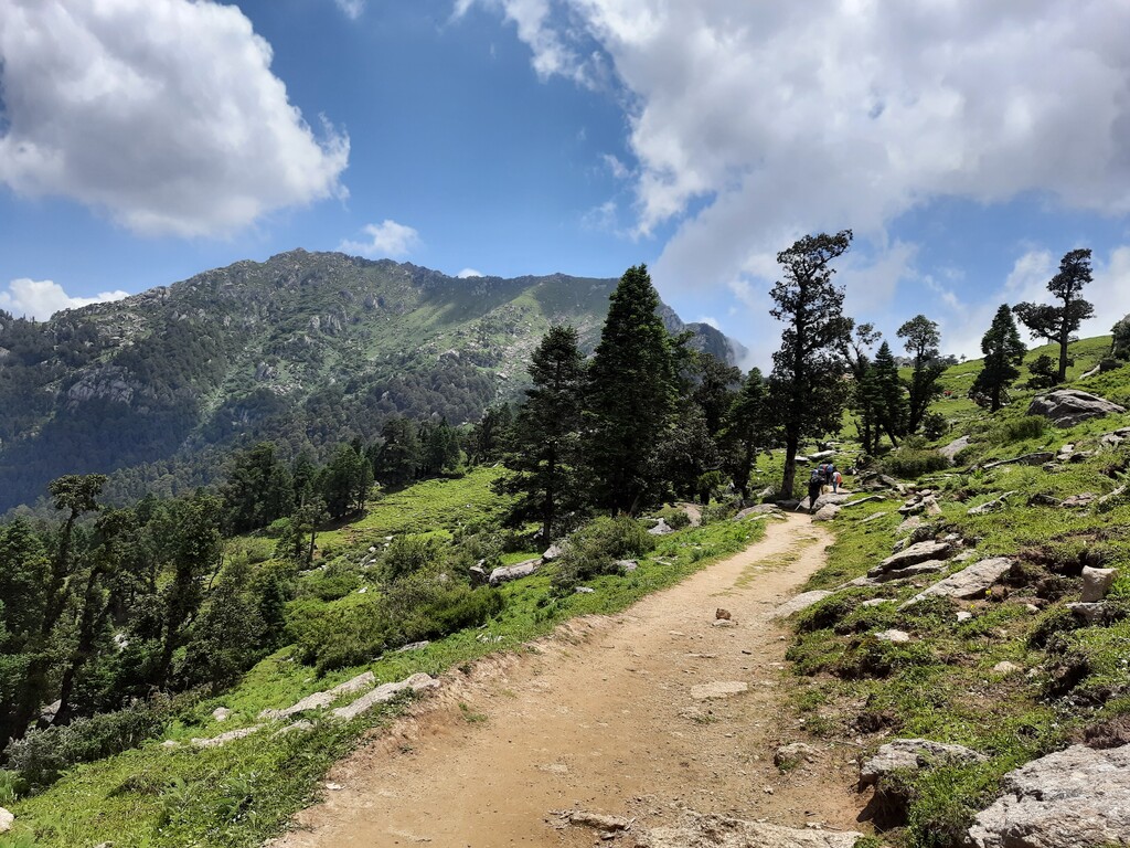
The start point / trail head is right outside the room, from Himgiri Nature Resort at Deedah. From the trailhead, there is a gradual climb that leads to the forest section. The climb gets steeper as we climb up a nallah to reach the ridge line.
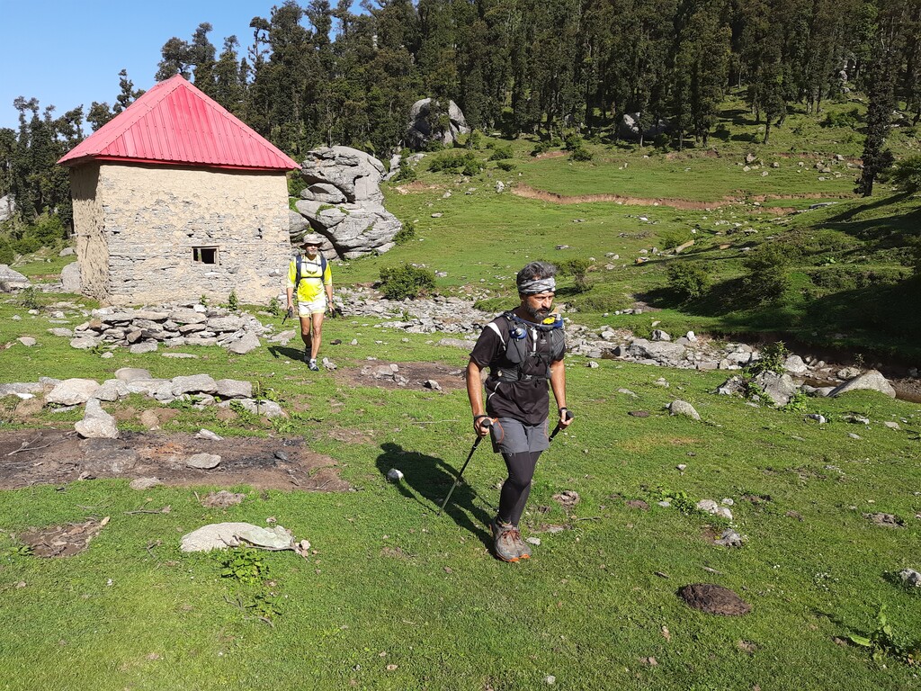
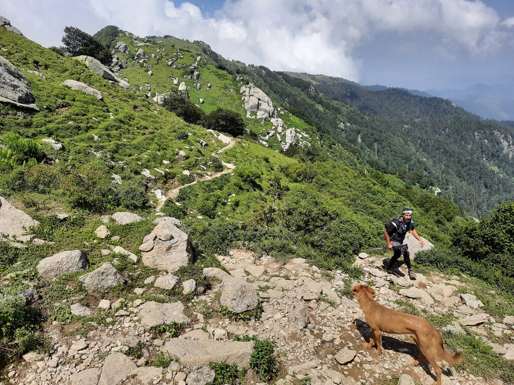
Traverse the ridge in an east / north-east direction. The ridge line passes through several beautiful meadows, which have some Gujjar huts as well as some forest dept. Huts. Views of the valley in the north can be enjoyed while moving towards Teesri, the next big landmark / point on the route.
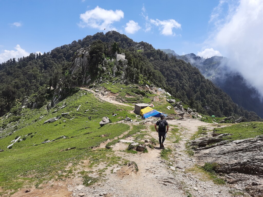
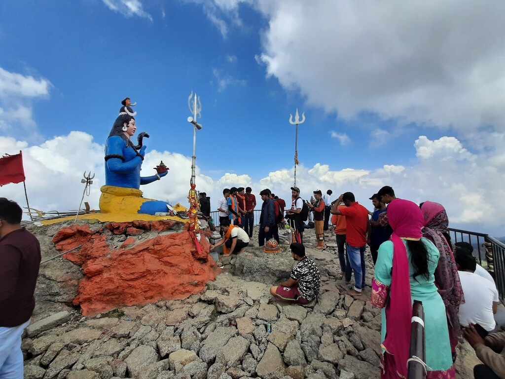
From Teesri, climb towards Churdhar Peak. Two trails lead to Churdhar peak. As part of this route, one must climb using the steeper, more technical trail and descend via the longer, but more gradual trail (there is a temple along the return route).
Back at Teesri, head down the trail towards Nohradhar.
The route ends at the Nohradhar main market / main street.
NOTES
- Panorama views from Churdhar Peak
- Lovely runnable route traversing the range through high altitude meadows and forest areas.
- Route towards the peak can get “crowded” (relatively speaking) during the summer season as pilgrims make their way to the top.
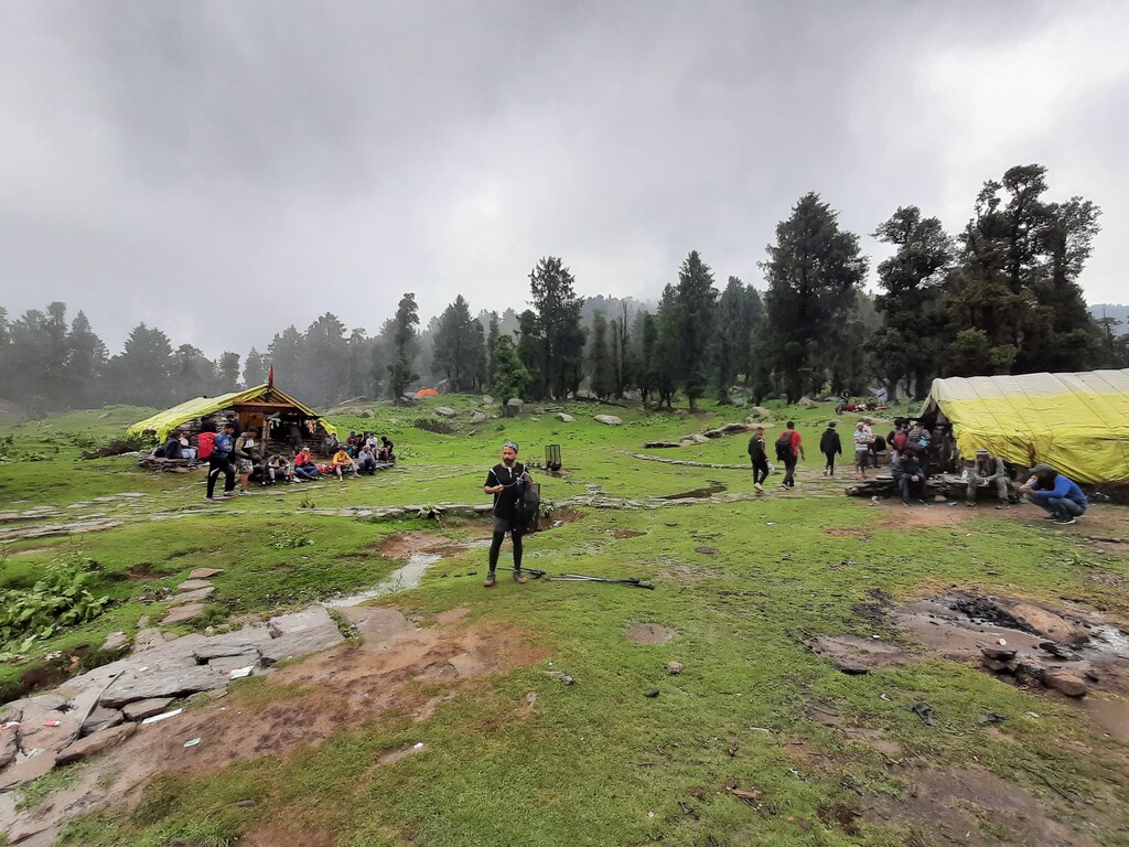
- Return trip, from Teesri towards Nohradhar, has lots of tea shops, in case aid is needed.
BACKGROUND:
This FKT route was created as part of a collaborative project between Mr. Mohit Oberoi, veteran rock climber, triathlete and adventurer, and Mr. Nakul Butta, trail runner and outdoors enthusiast. Several local partners, from runners to local friends, have supported this initiative and helped with creating these routes. Special mention to Mr. Varun Gunaseelan for sharing the .gpx files that helped us with navigation for this route.
While India has thousands of kilometres of pristine trails, very few are documented digitally. Our aim is to develop routes that allow individuals to test their abilities by moving fast & light, while enjoying some iconic parts of the country, specifically in the Indian Himalayas.
We hope this will help create a FKT culture in the country for years to come.