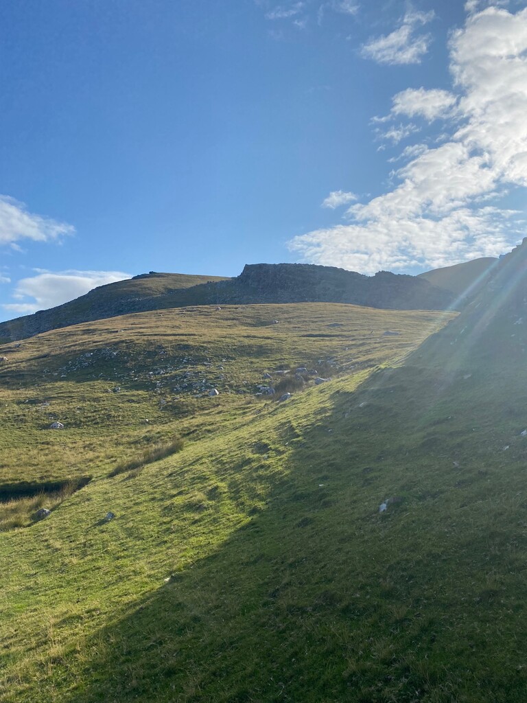
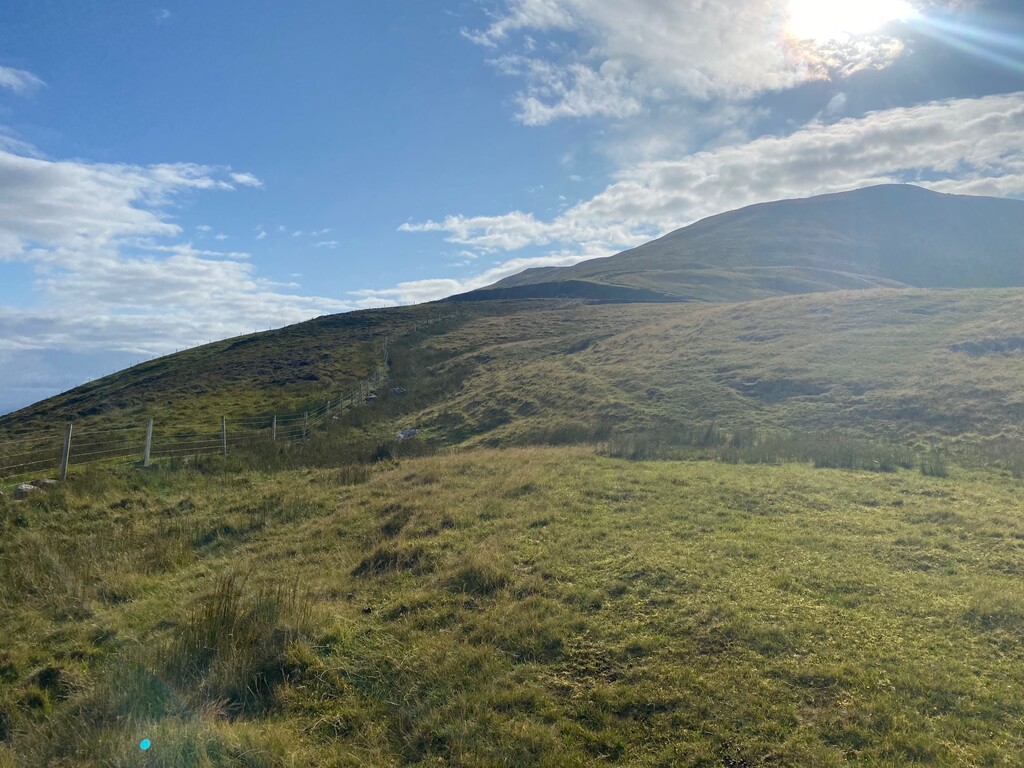
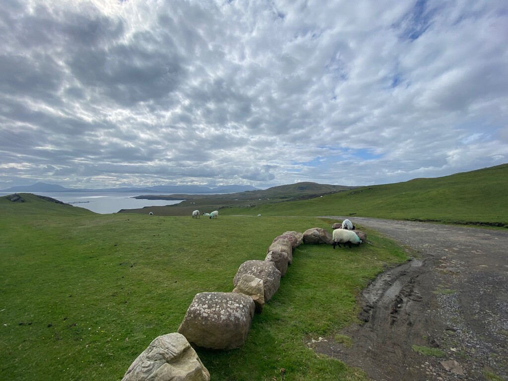
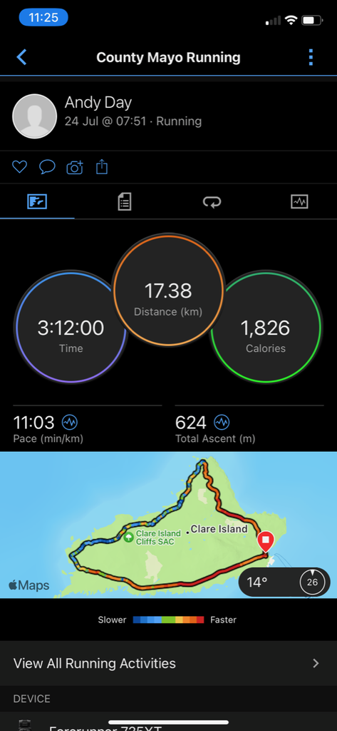
A complete loop of beautiful Clare Island situated a 30 min ferry trip from Roonagh Quay. Starting at a clear road junction 200m from the quay the route follows the road along the southern side of the Island all the way to the Western side of the Island. There is a ruined signal tower (Napleonic era) marking the turning point, from here turn northeast and steadily climb the grassy slope to the top of the island's highest point at Knockmore (462m). On this uphill section there is a prominent rocky outcrop (see img_0550.jpg), go to the left of this. Once on the summit continue northeast along the coast all the way to the entrance to the lighthouse (staying on the righthand side of the fence). Once at the entrance to the lighthouse follow the road all the way back to the start.
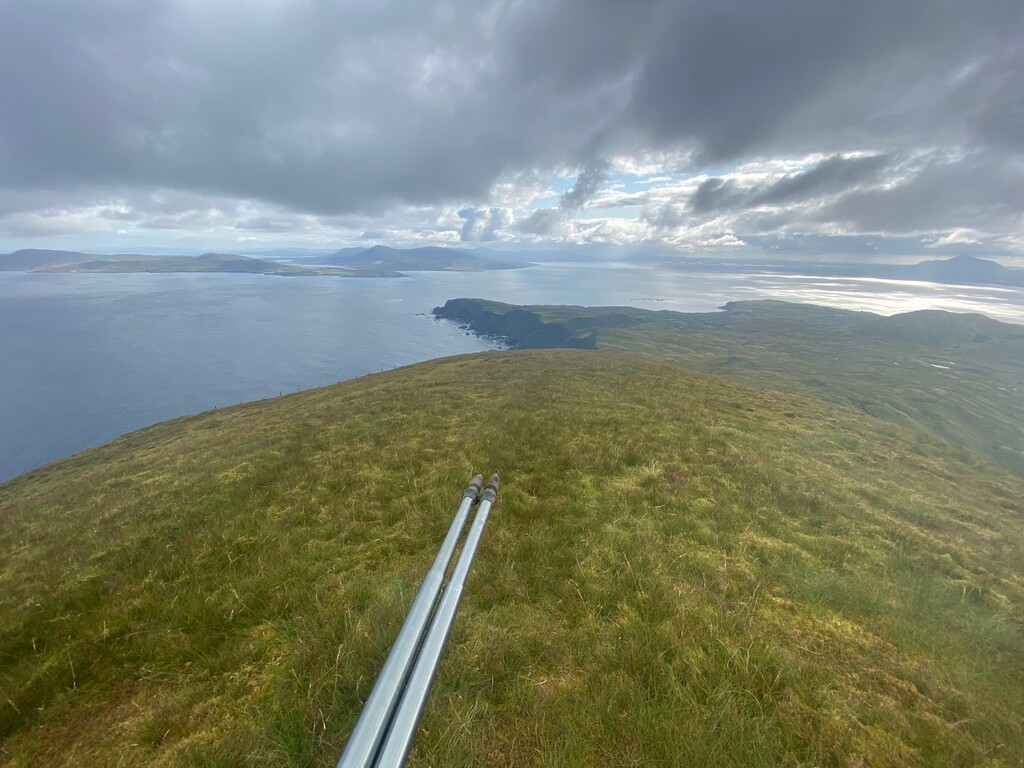
This route has incredible views back onto the mainland looking at Croagh Patrick and Mweelrea (highest mountain in Connaught), across Clew Bay to Achill Island and out to sea where the next stop is America!
Visit https://clareisland.info/ to find out about accommodation and ferry times.