Background
"Coastlines to mountains"
Coffs Hinterland Round combines stunning beaches, epic ridgelines, steep mountains and dense rainforest all in an epic 100km loop. Years of planning has led to the creation of a route that links together key geographical features, iconic destinations and local highlights of the Coffs Coast. A truly challenging course connecting various a myriad of National Parks & State Forests. This route is all on track bar one 3km section from Mt Wondurrigah to Legge Lookout via Tuckers Knob where basic navigation is required.
Completion of this route requires bagging 13 locations in order (or reverse order):
- Coffs Harbour Jetty
- Macauleys Headland (#1)
- The Mountain Way tower (#2)
- Sealy Lookout skypier (#3)
- End Peak (#4)
- Mt Coramba tower (#5)
- Top of Eastern Dorrigo Way at Langleys Road 'Ulong Community Noticeboard' (#6)
- Bangalore Falls viewing platform (#7)
- Mt Wondurrigah tower (#8)
- Tuckers Knob cairn (#9)
- Legge Lookout viewpoint (#10)
- Bonville Peak trig (#11)
- Peak Trail tower (#12)
- Coffs Harbour Jetty (#13)
Route Description
This route description is written for an anti-clockwise direction attempt but a clockwise is permitted
Section 1: Coffs Harbour Jetty to Mt Coramba (~32km)
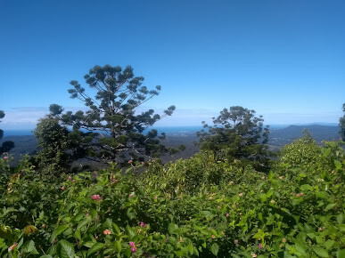
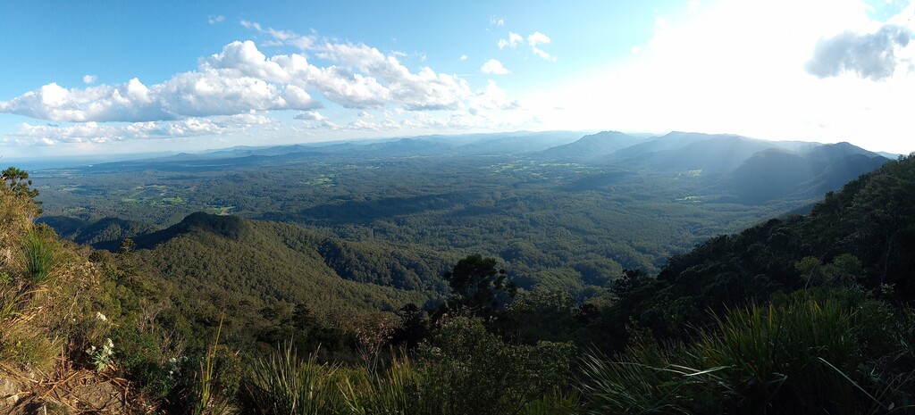
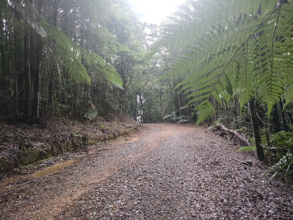
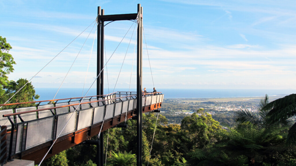
Starting at the end of the iconic Coffs Harbour Jetty, follow the Solitary Islands Coastal Walk on and off over Macauleys Headland (#1) and along beaches and paths to Gaudrons Road. Climb up The Mountain Way which provides views over the coast to the Tower atop The Mountain Way (#2). Continue on Rover Trail, past Bruxner Gap and up Sealy Lookout Road to the end of the viewing platform at Sealy Lookout (#3). There is toilets and lots of parking here. Great views of the Coffs Coast can be seen from Sealy Lookout. Follow End Peak Trail over End Peak (#4) and along Shelter Road. Steep forestry roads will take you over to Mt Coramba (#5) where there are views to the coast
Section 2: Mt Coramba to Bangalore Falls (~32km to ~65km)
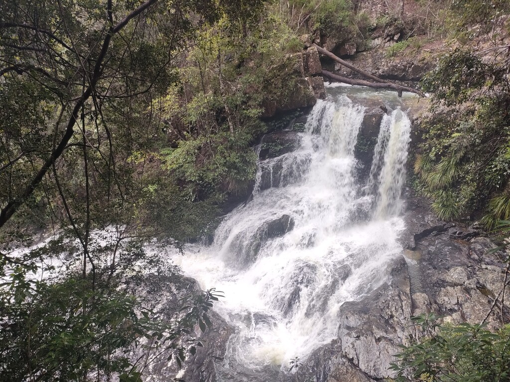
From Mt Coramba, descend down to East Bank Fire Shed and through Coramba village. Turning onto Eastern Dorrigo Way, you need to climb via the road or trail to the top of the road at Langleys Road (#6). There is also parking here if a crew is involved. Follow Langleys Road to the end where a large Bindarri National Park sign is and follow the signposted main roads (Range Road then Bangalore Road) to Bangalore Falls Picnic Area. A toilet and parking is here. The route does a 1km out and back down to Bangalore Falls to the viewing platform (#7) - a stunning waterfall.
Section 3: Bangalore Falls to Legge Lookout (~65km to ~75km)
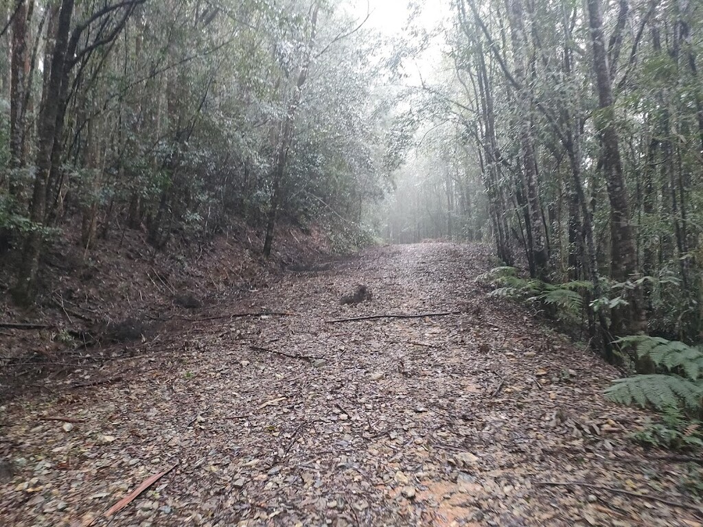
This is the hardest section of the route. From Bangalore Falls follow Loudens Road and then climbing up to the phone tower atop Mt Wondurrigah (#8) with great views to the coast. From Mt Wondurrigah, the route follows the ridgeline off-track for 3km. This 3km section will take approx 1.5hrs with careful navigation. Leg and arm coverings are recommended here as otherwise you will get scratched up. The ridgeline is fairly distinct and easy to follow but can be rough in places. In future, a formal track on this section will be created as part of the Dorrigo Great Walk. Once on the ridgeline you will need to 'bag' the large cairn that marks Tuckers Knob (#9) and then the amazing view at Legge Lookout (#10).
Section 4: Legge Lookout to Coffs Harbour Jetty (~75km to ~100km)
From the lookout, a steep track will take you down to Peak Trail. Follow the undulating Peak Trail, with a short diversion to tick off the trig point at Bonville Peak (#10), all the way to the phone tower atop Peak Trail (#12). A steep descent then will take you back to civilisation and from here roads and footpaths (along Hogbin Drive) will take you back to Coffs Harbour Jetty. Finish at the end of the Coffs Harbour Jetty (#13) to mark the completion of the route.
Many parts of this route are not signposted and require simple yet careful navigation to ensure you are on track and reaching the key locations. This route is extremely challenging for a 100km loop but you will be rewarded with an epic day out in the bush. It is recommended that some scouting is done prior to attempting this.