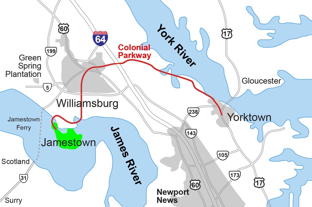
"The Colonial Parkway is a twenty-three mile scenic roadway stretching from the York River at Yorktown to the James River at Jamestown. It connects Virginia's historic triangle: Jamestown, Williamsburg, and Yorktown. Several million travelers a year use this route to enjoy the natural and cultural beauty of Virginia.
The Parkway's construction presented the National Park Service with a unique challenge: build a thoroughfare unifying culturally distinct sites crossing several pristine natural environments while still maintaining the National Park Service's prime directive ‘to conserve the scenery and the natural and historic objects and the wild life therein and to provide for the enjoyment of the same.’ Adding to the complexity of the project was a construction period extending over twenty-six years through the Depression, World War II, and funding shortages.
The Parkway, completed in 1957, is an NPS success story. This roadway allows motorists to appreciate the surrounding landscape, while reducing impact on the resources and providing for traveler safety.”
- National Park Service
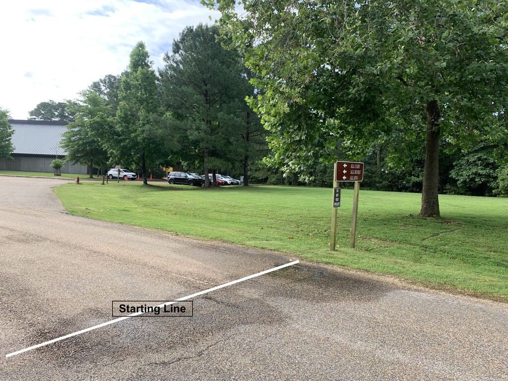
Starting Point = 37°12'42.1"N 76°46'41.2"W
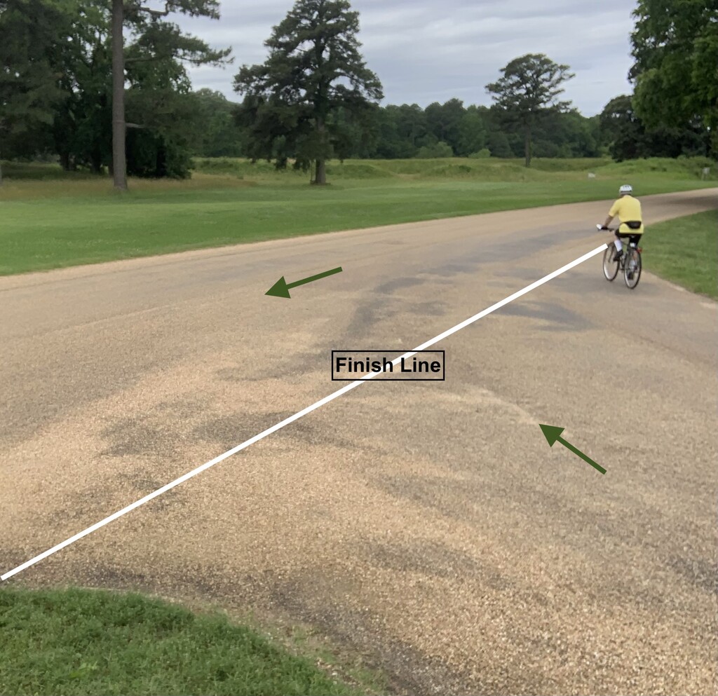
Heading towards the Historic Jamestown Visitor Center, before the right turn for the pull-around, the Colonial Parkway meets Island Drive. This is where a road sign (“All Cabs, All Buses, All RVs” and “Do Not Feed Wildlife”) forms a line with a tree. I’ve drawn an imaginary line onto the road in white, and you have a starting line.
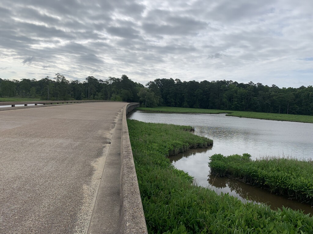
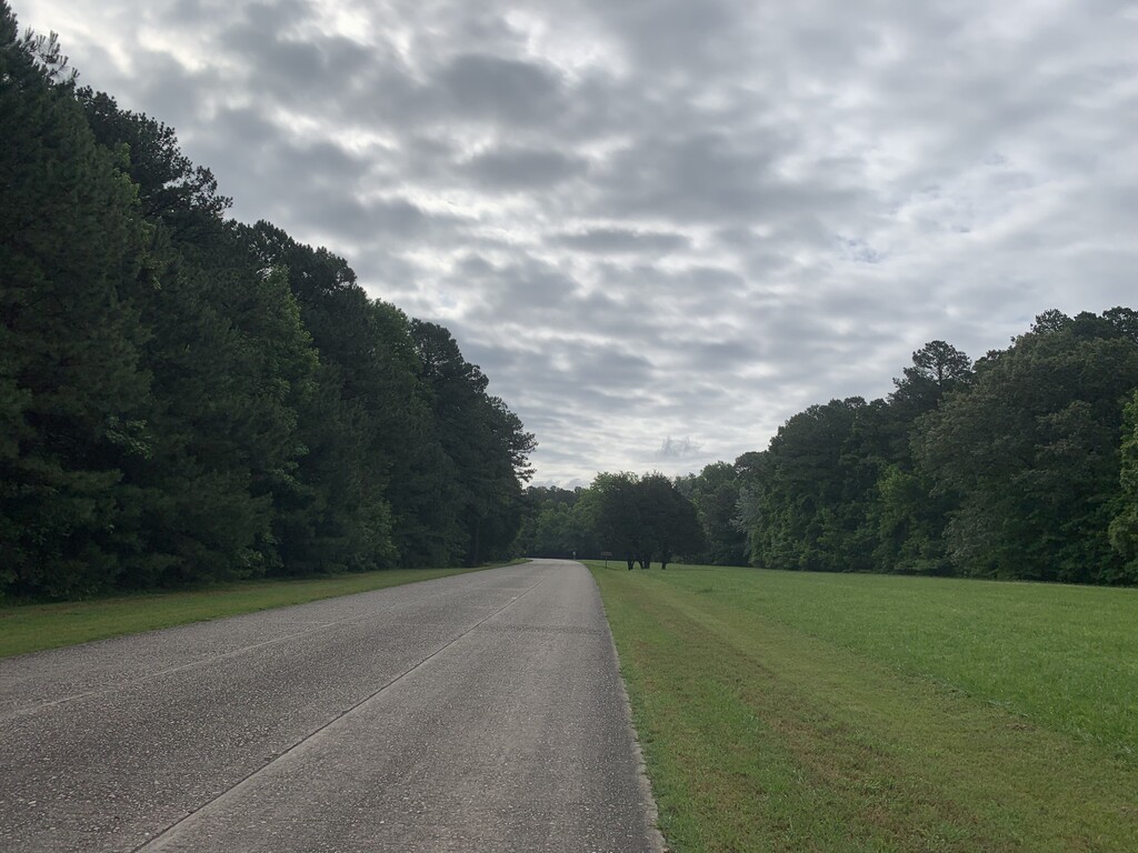
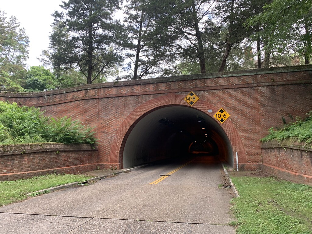
Follow the Colonial Parkway, without using the many semicircle pull-offs. It is a 100% paved cobblestone straight-shot. No turns necessary, easy as ya like! And go through the tunnel underneath Colonial Williamsburg. Depending on the time of day/year, it’s rare to find the Parkway heavily trafficked. It’s mostly shaded, however there are short stretches that are exposed. You’ll cross a few bridges, go under a few brick overpasses, and wonder about the Colonial Parkway Killer. Check out the Crime Junkie 2-part episode… but probably wait until after running it.
Finish Line = 37°13'47.7"N 76°30'16.0"W
At 22.5 miles, you’ll approach an intersection with Ballard Street. Cross Ballard St and yield to cars/buses as they have right-of-way. Follow the road along the right side, past the Yorktown Battlefield Visitor Center. Make a full loop around the outside of the parking lot until it intersects back where you came in from (white Finish Line in photos), thus covering the entire Colonial Parkway and completing your 23 mile journey.
Websites: NPS, Wikipedia, AllTrails