The Corfu Trail - Long Enhanced Version
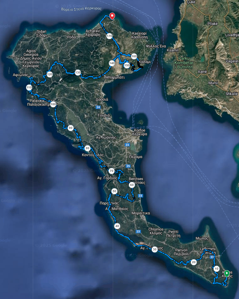
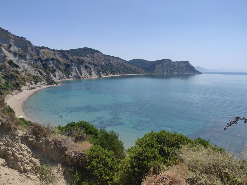
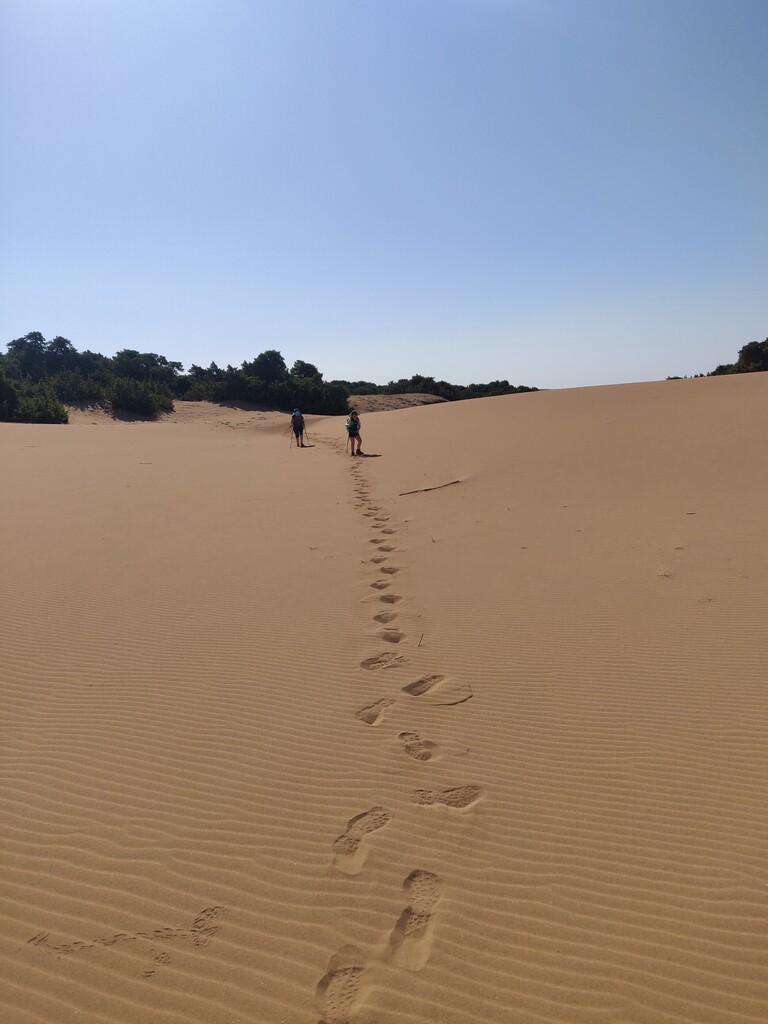
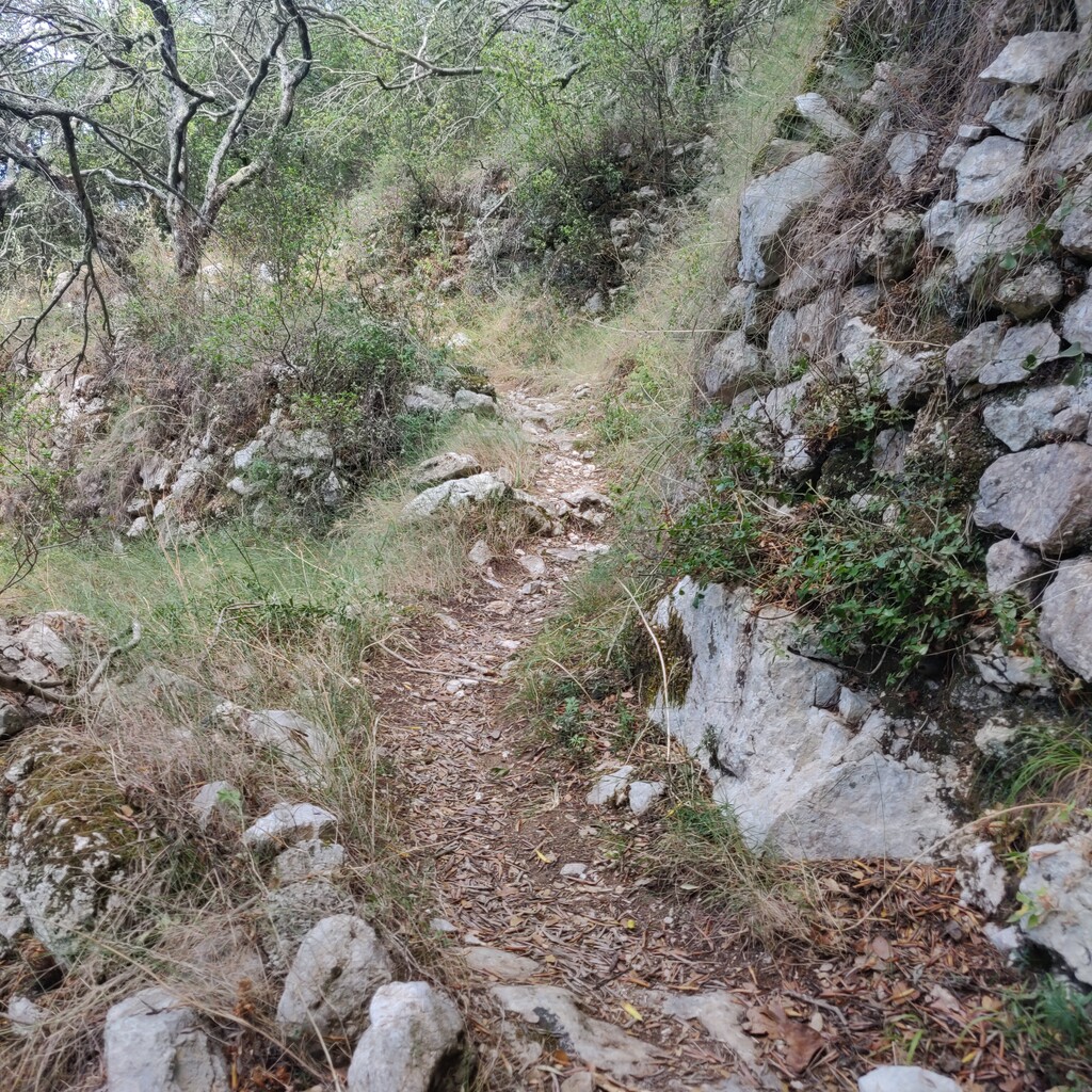
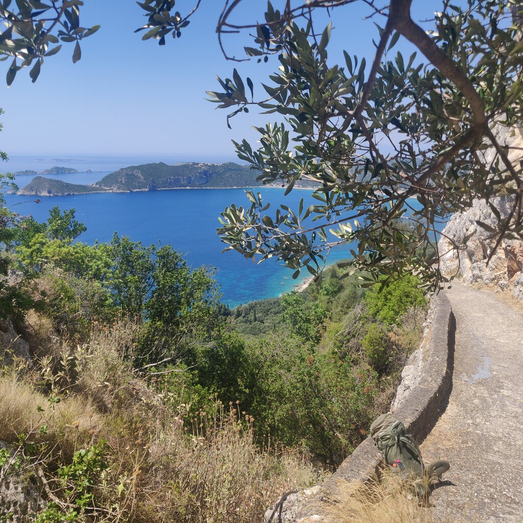
Since its establishment in 2001, the Corfu Trail has attracted thousands of hikers who traverse the island from end to end. Spanning 178 kilometers and featuring 5130 meters of elevation gain, this long-distance walking route immerses you in a landscape untouched by the mass tourism that has marred parts of the coastline. It winds through the central countryside, a hidden gem rarely explored by tourists. The diversity of Corfu's scenery ensures that hikers never spend more than an hour in the same setting; around every corner, a new breathtaking view awaits. From the expansive beaches and juniper dunes in the south, through the rolling olive groves of the central region, to the karst plateau and rugged gorges in the north, the Corfu Trail unveils an island paradise perfect for hikers.
The Corfu Trail is marked at strategic points with yellow signs bearing the letters CT and a directional arrow. Between these signs, yellow paint markers confirm the route. Given that the most dramatic landscapes and the highest concentration of highlights are in the north of the island, the Corfu Trail guides hikers from south to north.
Parts of this route are also used for the running events 'Kassios Dias' and 'The Corfu Mountain Trail'.
More information about the Corfu Trail can be found here:
https://www.thecorfutrail.com/
Coordinates:
Start coordinates: 39°22'39"N 20°06'49"E
Finish coordinates: 39°48'55"N 19°51'43"E