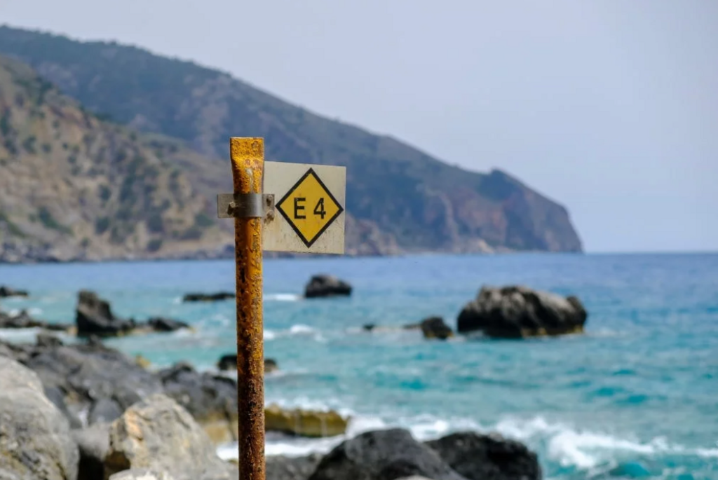
Crete Crossing via the European E4 Trail is a point-to-point running and hiking route across Crete, Greece, following the established E4 corridor from Kissamos / Kastelli Kissamou on the northwest coast of the island to Chochlakies village on the eastern coast.
The submitted GPX is approximately 551.38 km long with about 18,029 m of vertical gain. The route crosses Crete from west to east and links coastal paths, mountain trails, dirt roads, paved village connectors, gorges, plateaus, remote highland terrain and traditional settlements. It follows the E4 line across the island rather than seeking the shortest or easiest crossing.
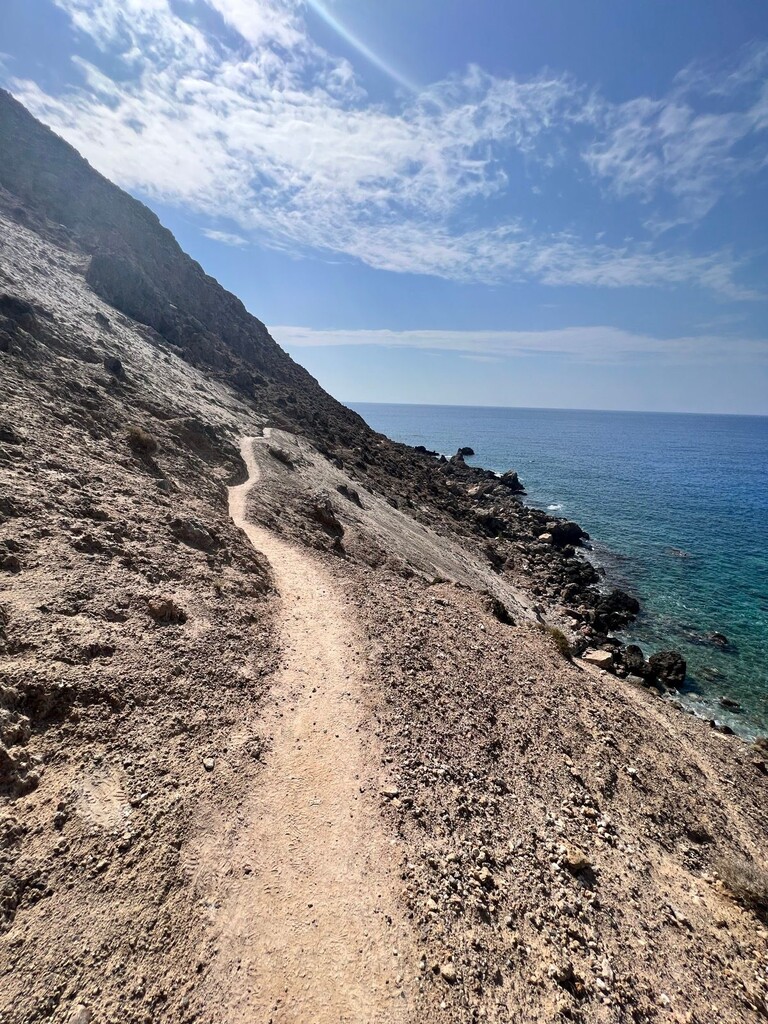
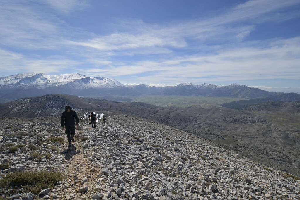
Starting near sea level in Kissamos, the route moves through western Crete and the White Mountains region, continues along and above sections of the south coast, crosses central Crete and the Psiloritis / Ida region, then continues through the Lasithi and Dikti highlands before reaching the eastern Cretan landscape and finishing at Chochlakies.
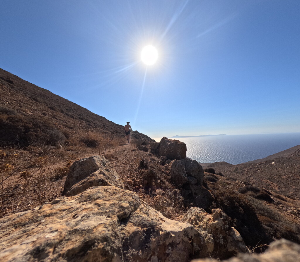
The route is notable as a complete west-to-east crossing of Crete on the European E4 long-distance trail. It combines significant distance, elevation gain, technical trail, heat exposure, navigation challenges and a strong cultural and geographical line across one of the most distinctive islands in the Mediterranean. The route passes through a wide variety of Cretan landscapes, from coastal terrain and gorges to high mountains, plateaus, remote villages and historic areas.
The route is intended to be followed continuously and in order along the submitted GPX / E4 line. Any athlete leaving the route for resupply, rest, safety or logistical reasons must return to the exact point of departure before continuing. All forward progress on the route must be self-powered.