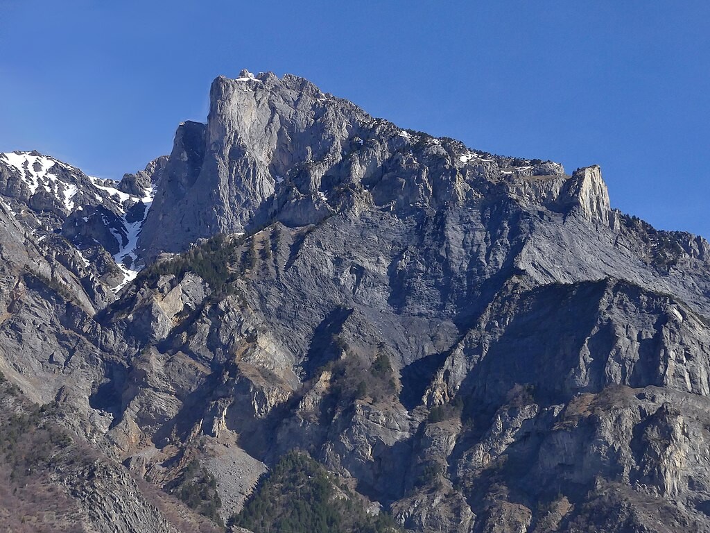
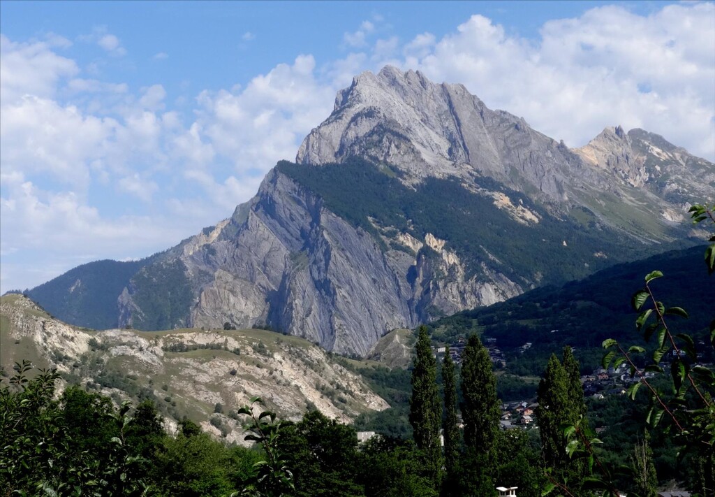
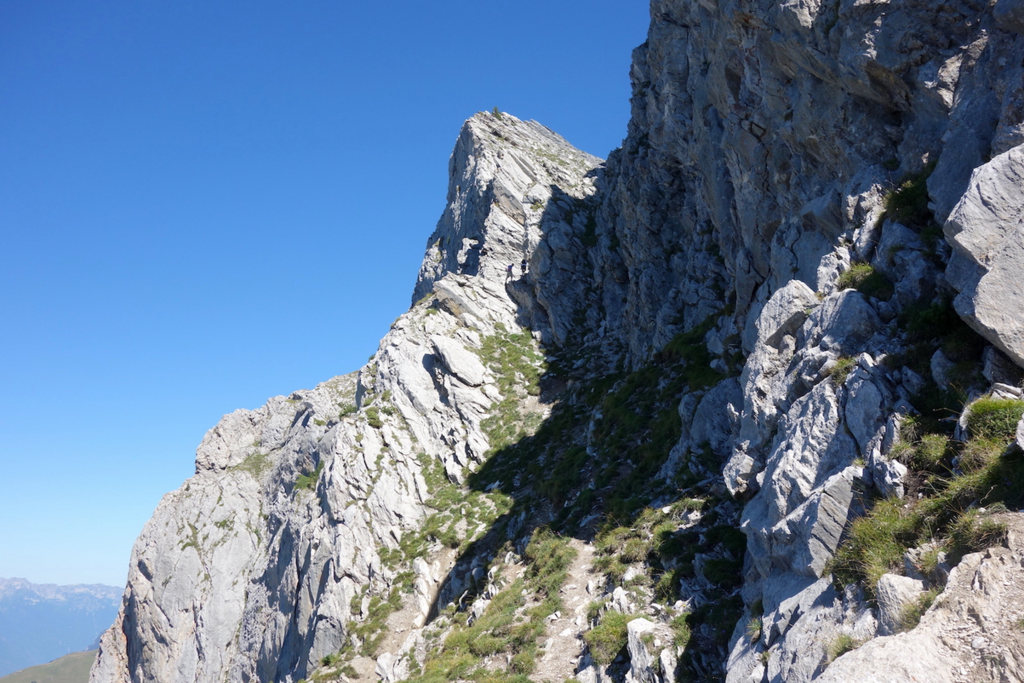
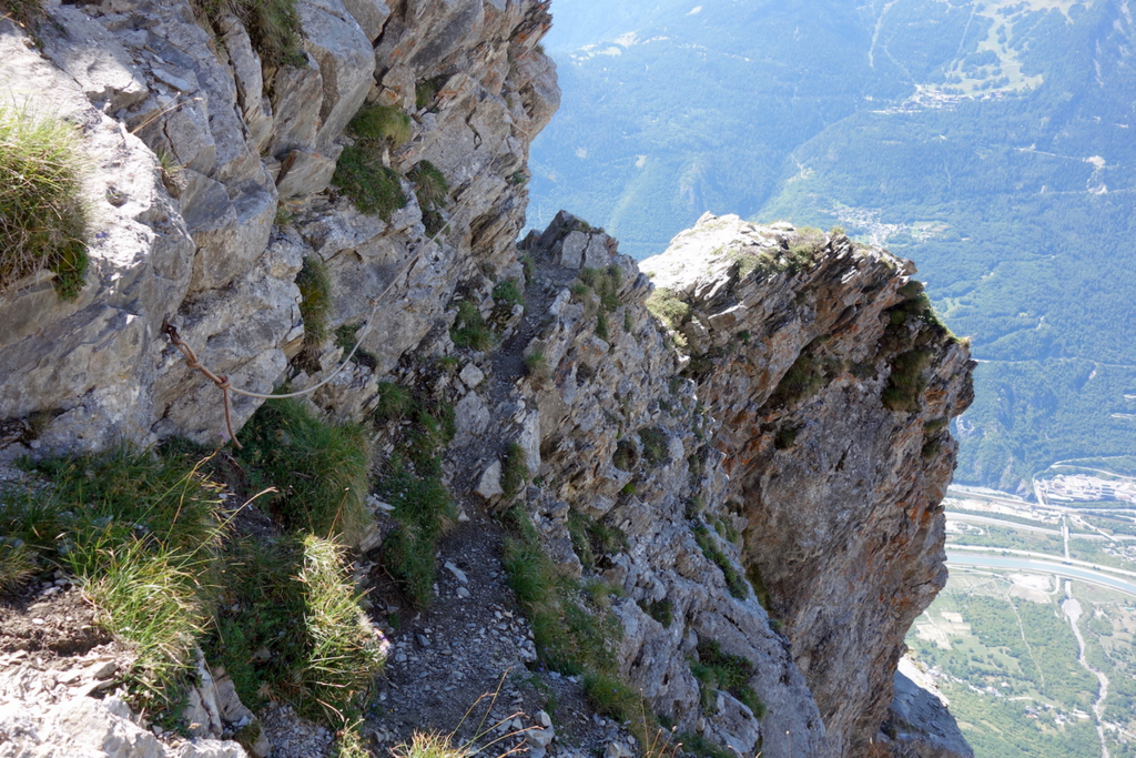
The departure is from the church in the center of the village of Saint-Martin-la-Porte. Ascent by the most obvious and fastest path to the top of the first point (first Mamelle) of the Croix des Têtes massif (alt 2460). The first part of the path crosses a forest to the village of La Villette. The end of the course is on an aerial and rocky course. It is not necessary to use a rope for a savvy walker, but caution is advised as falling is prohibited.