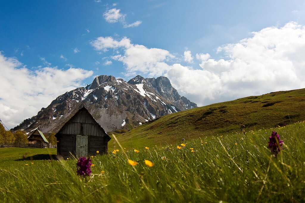
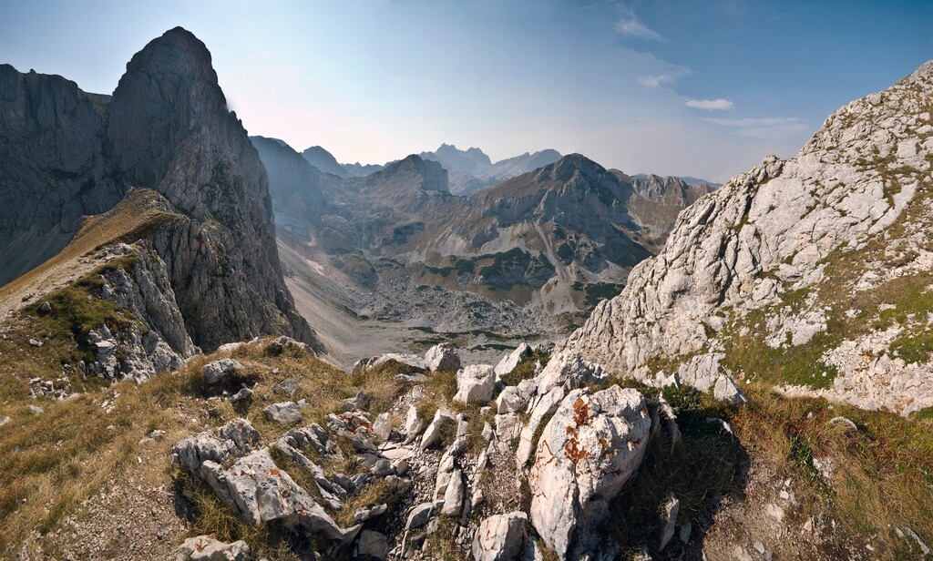
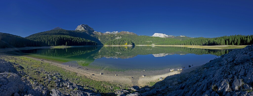
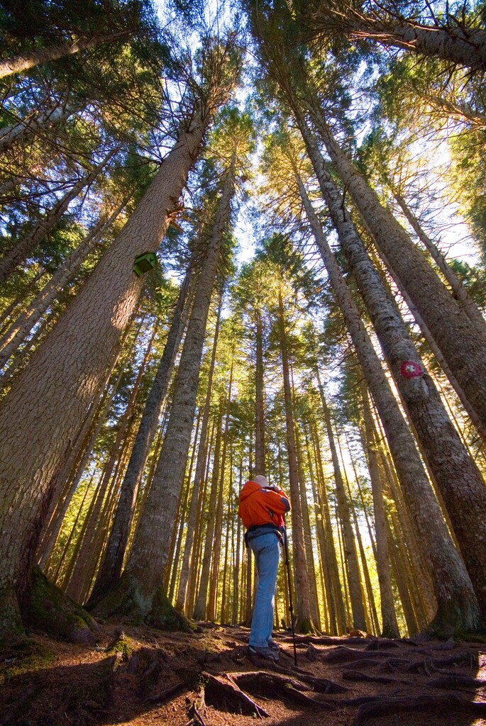
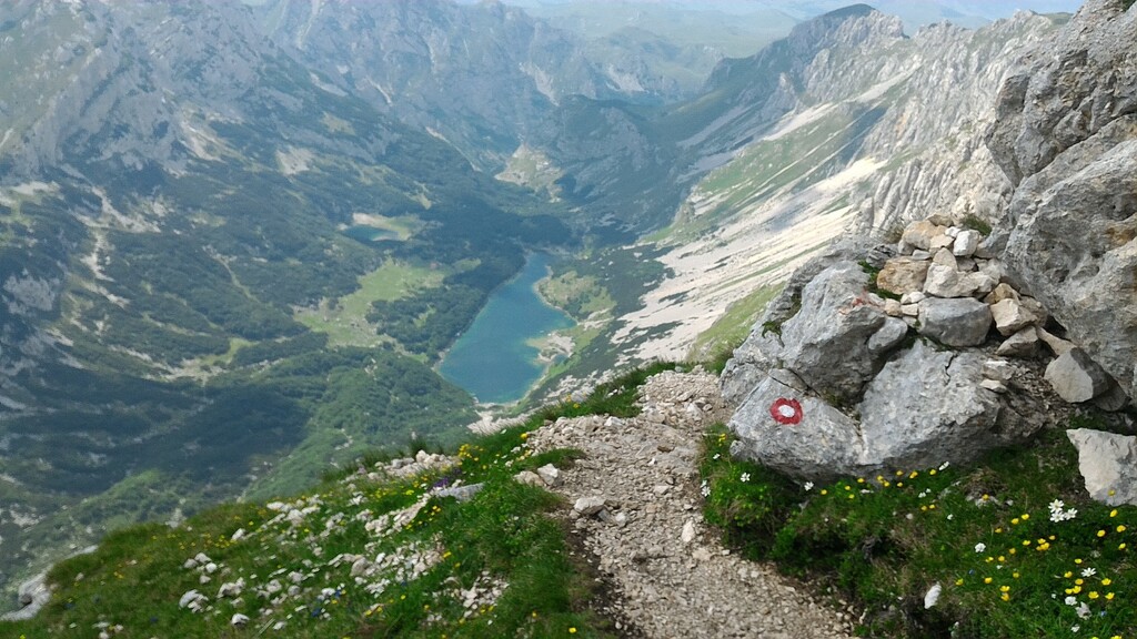
Seven-day INLAND Adventures: Montenegrin Mountain Hiking Transversals ("CT 1")From Lake Bukumirsko Jezero to Žabljak. Offers exceptionally varied mountain landscapes. After the challenging summits of Kučka Planina ( only 40 kilometers from Podgorica), we go to the venerable, wooded Komovi massif and on to the gentle, round Bjelasica Mountains. The mystical Sinjajevina plateau stimulates all your senses and finally the good "giant Durmitor" will press you to his chest. Duration 7-8 days Length 164 km highest point 2,487m Part 1 of CT1 transferring from Bukumir to Mojkovac In this part of the CT1 route, among other things, 3 hiking huts are recognized by 49 points of Interresse. In addition to the route itself and the location of attractions, two treks representing the rise of the Crni vrh (2139mnm), the highest point of the Bjelasica massif and Kučki Kom (2487mnm) are the highest peak of the Komovi massif. The ascent to the Kučki Kom is more demanding and it can be said that it is not a completely different category of trails by weight for the target audience of hikers who visit the transfers, while the ascent to the Black Head is completely different and can be recommended to the visitors of the Transfersale (part of the transfers in the guided tours). The starting point is located near the Bukumirsky Lake. The 2nd part CT1 was marked from Mojkovac to Crno jezero. There are 26 points of interest in this section of CT1 Transversale, including 1 mountain hut and three mountain lakes. If you are watching / following the route from Mojkovac, the first point near CT1 has transferred the accommodation capacities of Eko village Ćorić and Imanja Rakočević-Gacka, from here there is a beautiful view of the valley of the Tara River and the city of Mojkovac. Entrance to the Rakočević - Gacka property After crossing the beech forest, beautiful views of the neighboring mountain massif open up.
Черногорский горный маршрут («CT 1») от Букумирского озера до Жабляка. Вас ждут исключительно разнообразные горные ландшафты. После захватывающих вершин Кучка-Планины (всего в 40 километрах от Подгорицы) маршрут продолжается к величественному, густо покрытому лесом массиву Комови и далее к пологим, округлым горам Беласица. Мистическое плато Синяевина пробудит все ваши чувства, а в конце вас обнимет величественный «Великан Дурмитор».
https://www.outdooractive.ru/ru/route/%D0%BF%D0%BE%D1%85%D0%BE%D0%B4%D1%8B-%D0%BD%D0%B0-%D0%B1%D0%BE%D0%BB%D1%8C%D1%88%D0%BE%D0%B5-%D1%80%D0%B0%D1%81%D1%81%D1%82%D0%BE%D1%8F%D0%BD%D0%B8%D0%B5/%D1%87%D0%B5%D1%80%D0%BD%D0%BE%D0%B3%D0%BE%D1%80%D0%B8%D1%8F/ct1-siebentaegige-abenteuer-im-binnenland/27009588/?i=27009588

Comments
Hello.
We are Alexey Malikov, Alexey Ermolnik, and Vladimir Kot.
Start today, October 7, 12:00 PM
We plan to complete the route in two days.