Approximately 40 miles of TN's yet-to-be completed long trail, the Cumberland Trail. When completed, the Cumberland Trail will form around 300 miles of continuous trail from near the southern border with Georgia, at Signal Point outside of Chattanooga, to Tri-State Peak on the north end, at the TN-KY-VA border.
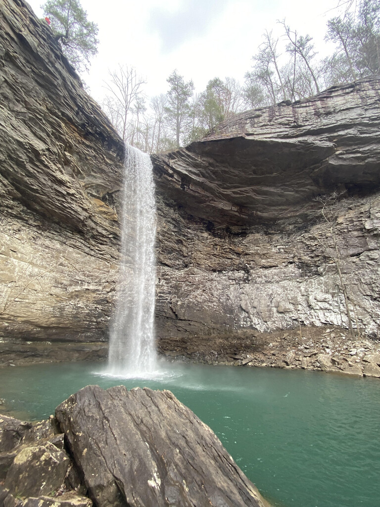
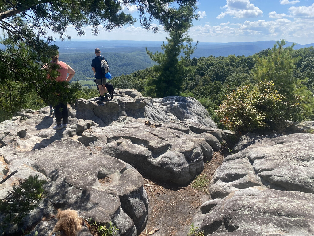
This segment is a completed and particularly scenic portion of the Cumberland Trail, featuring many waterfalls and cascades (most notably, Ozone Falls and Stinging Fork Falls) as well as mountain summits (notably, Black Mountain and Brady Mountain), with accompanying mountaintop views.
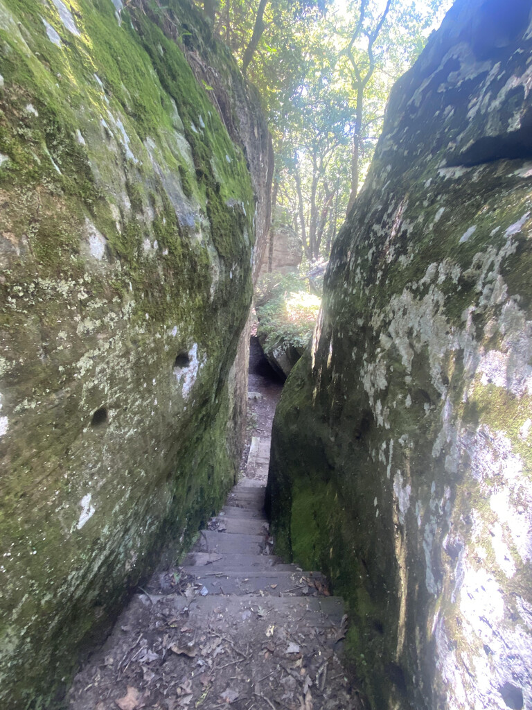
This segment is very remote and rugged in some places, though there are several road crossings and trailheads along the way. This is a natural FKT segment because it goes from the northern terminus of a contiguous completed section of trail to a major trailhead at a paved road crossing near a decent-sized town (Spring City) that is only about a 30 minute drive from the start point. There is a section of trail that goes farther south, but it ends about 8 miles past the proposed southern terminus of this route on a very rugged and remote dirt road in the middle of nowhere, with little to no parking and questionable safety for vehicles parked there.
This FKT route contains the entirety of the following sections of the Cumberland Trail (per the Cumberland Trail Conservancy's latest route segment breakdown):
- Ozone Falls: https://cumberlandtrail.org/trail-section/ozone-falls/
- Black Mountain: https://cumberlandtrail.org/trail-section/black-mountain/
- Brady Mountrain: https://cumberlandtrail.org/trail-section/brady-mountain/
- Hinch Mountain: http://cumberlandtrail.org/trail-section/hinch-mountain/
- Stinging Fork Falls: https://cumberlandtrail.org/trail-section/stinging-fork-falls/