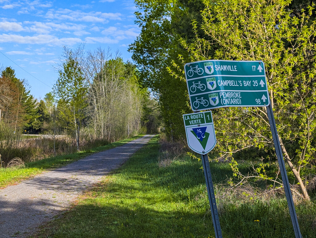
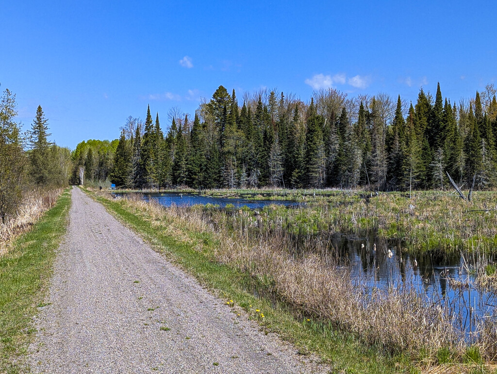
Cycloparc PPJ is a 91.7 Kilometre rail trail located in the Pontiac Regional County Municipality within the Outaouais region of Quebec, Canada. Built on the historical bed of the former Pontiac Pacific Junction railway, the trail is relatively flat with a total elevation gain of approximately 367 meters. The surface consists primarily of packed crushed stone dust, though sections passing through local town centers are paved.
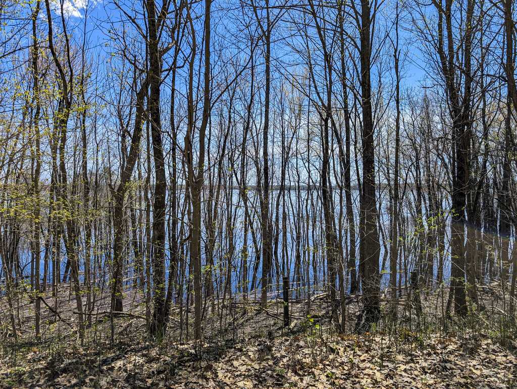
The route showcases a diverse mix of agricultural lands, forests, and wetlands, occasionally running directly alongside the Ottawa River. It connects several local communities, passing through Wyman, Shawville, Campbell’s Bay, Fort-Coulonge, Waltham, and L'Isle-aux-Allumettes.
Navigation Note: The off-road path temporarily ends at Waltham. To connect the route, athletes must navigate a 4 Kilometre section along the hard shoulder of Route 148 before the dedicated trail reappears.
The point-to-point route originates at Kilometre 0 in Wyman (near the intersection of Chemin Gold Mine N & Chemin Mackechnie) and terminates at Kilometre 91.7 at the end of Cottage Road (Chemin des Chalets) on L'Isle-aux-Allumettes.
Links:
https://en.wikipedia.org/wiki/Cycloparc_PPJ
https://destinationpontiac.ca/tourisme/cycloparc-ppj/