Davis Mountains Scenic Loop
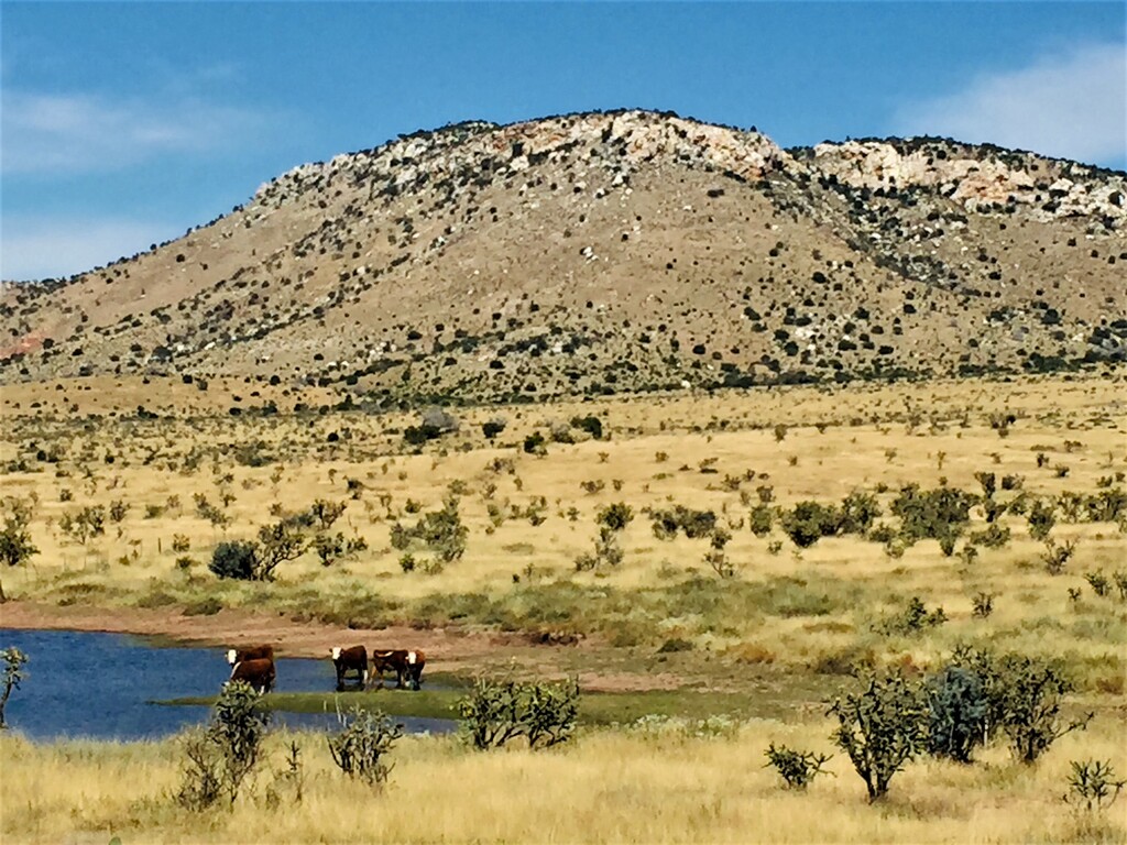
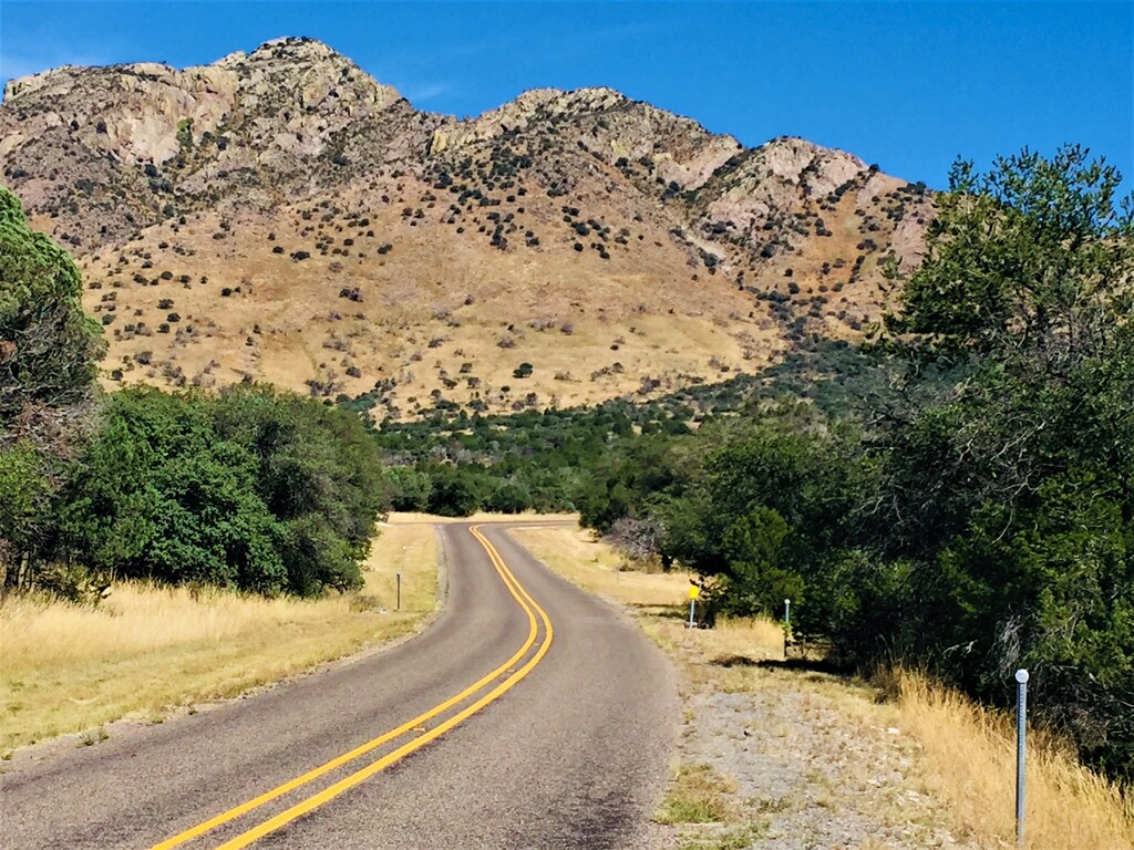
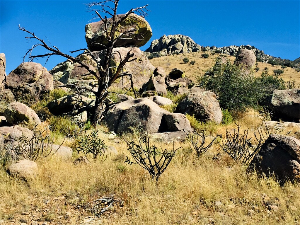
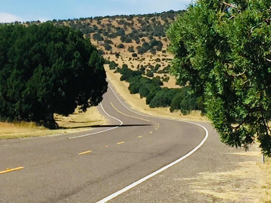
Ranging from 4800 to 6300 feet, the 76 mile Davis Mountains Scenic Loop routes through the historic town of Fort Davis, TX (pop. 1000). The route showcases the big skies, topography, flora, and fauna that is unique to West Texas. The loop, comprised of highways TX17, 166 and 118, is 100% asphalt and does not pass through any town other than Fort Davis, and although the route does not lend itself to unsupported FKT attempts (little or no available water), there is of course,100% access for the supported and self-supported categories. It should also be mentioned that there is very little traffic.
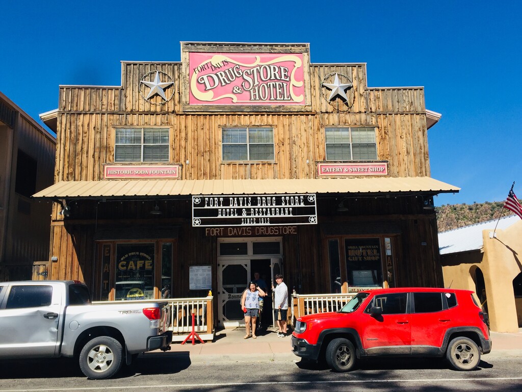
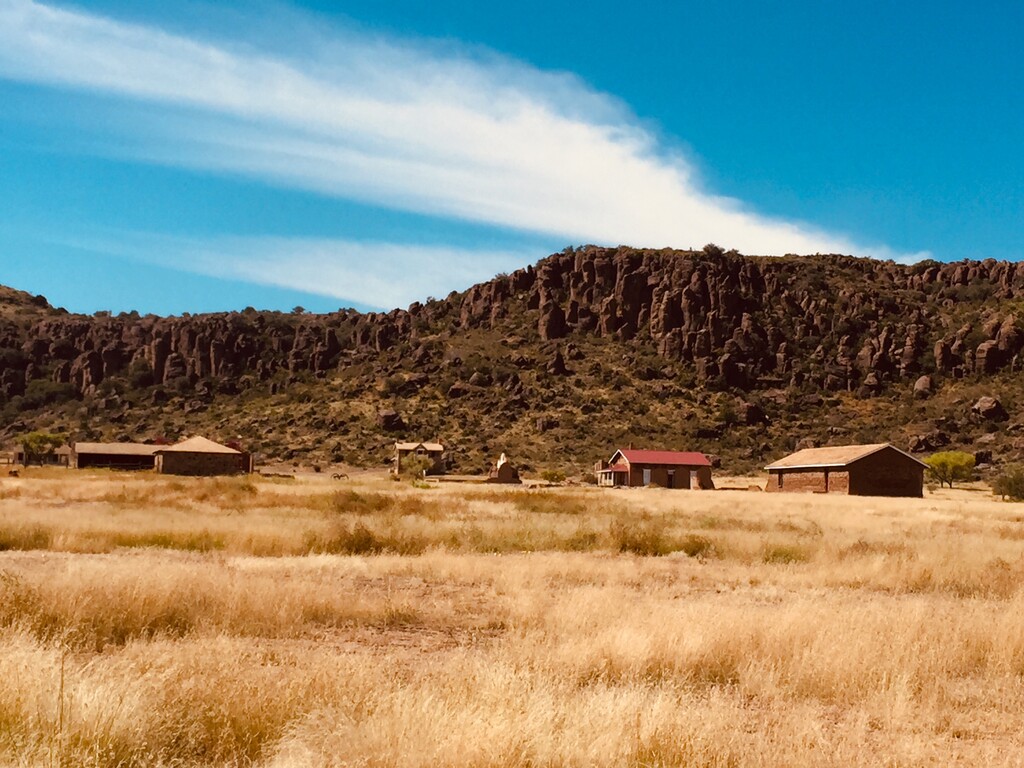
Fort Davis has an array of accommodations, from tents and RV sites, to bunk rooms and hotels. Additionally, the loop runs through the Davis Mountains State Park, and although most FKT attempts would probably start/finish at the center of town (appropriately at the historic Fort Davis Drug Store), alternatively, if camping at DMSP, one could conveniently start there as well.
For more information on the above, or other attractions which include the Fort Davis National Historic Site (a storied active military post from 1854 to 1891), and the McDonald Observatory, see the Fort Davis Chamber of Commerce website here: www.fortdavis.com