Route Creators: Mohit Oberoi, Nakul Butta, Digambar Lal
INTRODUCTION
Devalsari is located in the Aglar valley of Tehri Garhwal region in the state of Uttarakhand, about 55 kms from the popular hill station of Mussoorie. The area is well known for its rich biodiversity with a variety of birds and butterflies. There are a couple of popular treks in the region, namely Nag Tibba Trek and Luntsu I & II Trek (2635 m / . Both the treks lead to local peaks that have panoramic views of the snow capped Himalayan peaks. Typically, each trek is done by trekkers in 1-3 days.
SUMMARY
This FKT route links these two popular (technically, three) peaks -- Nag Tibba (3022 m / 9,915 ft) and Luntsu I (~2700 m / 8850 ft) & Luntsu II (~2625 m / 8615 ft) -- as part of a single looped course.
ROUTE DESCRIPTION
The route starts from the front door of the Devalsari forest guest house, near Koneswar temple, and also ends at the same location, completing the loop.
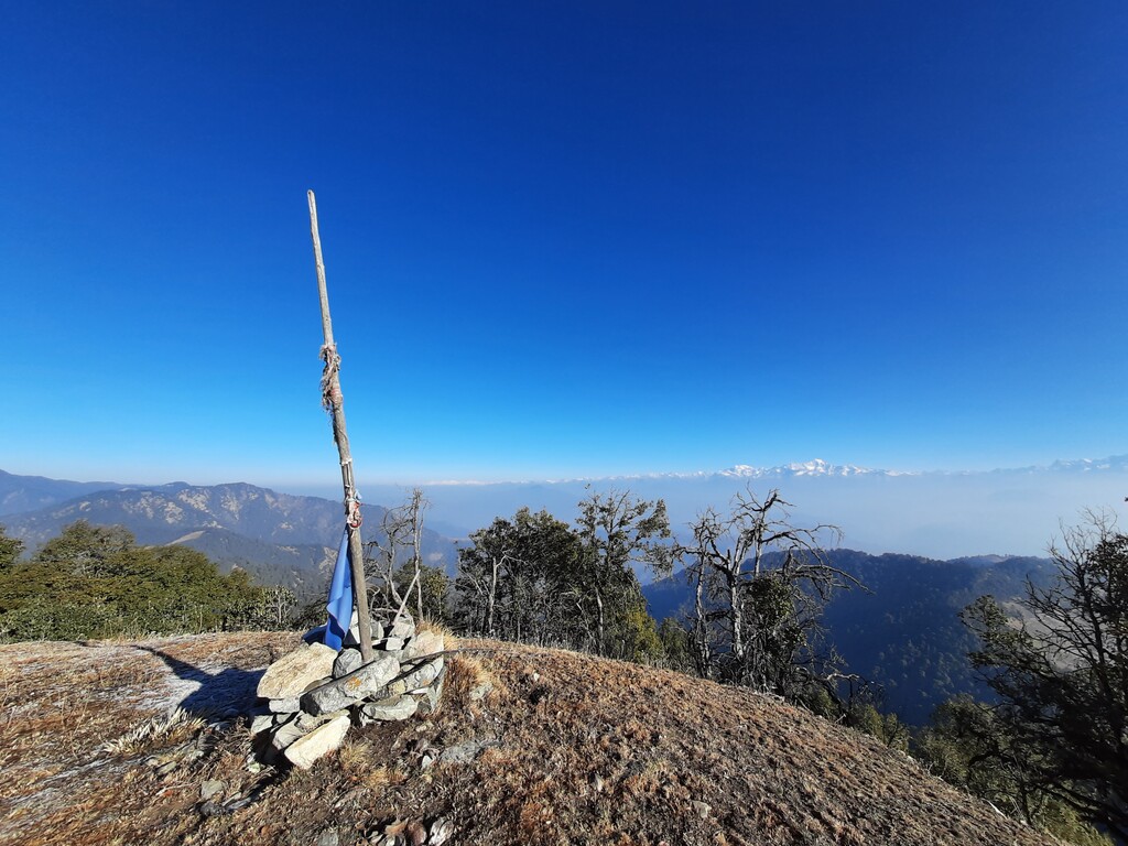
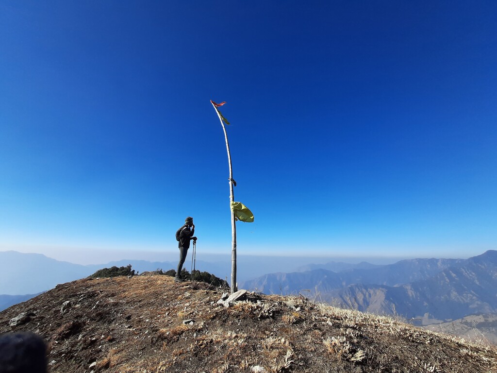
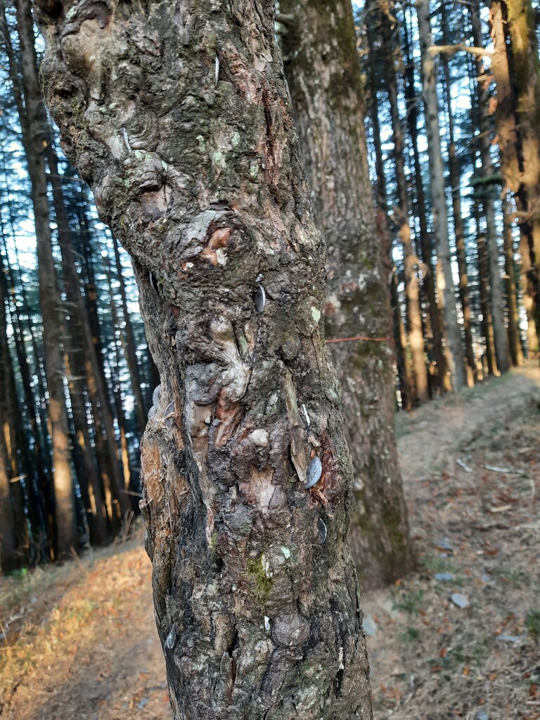
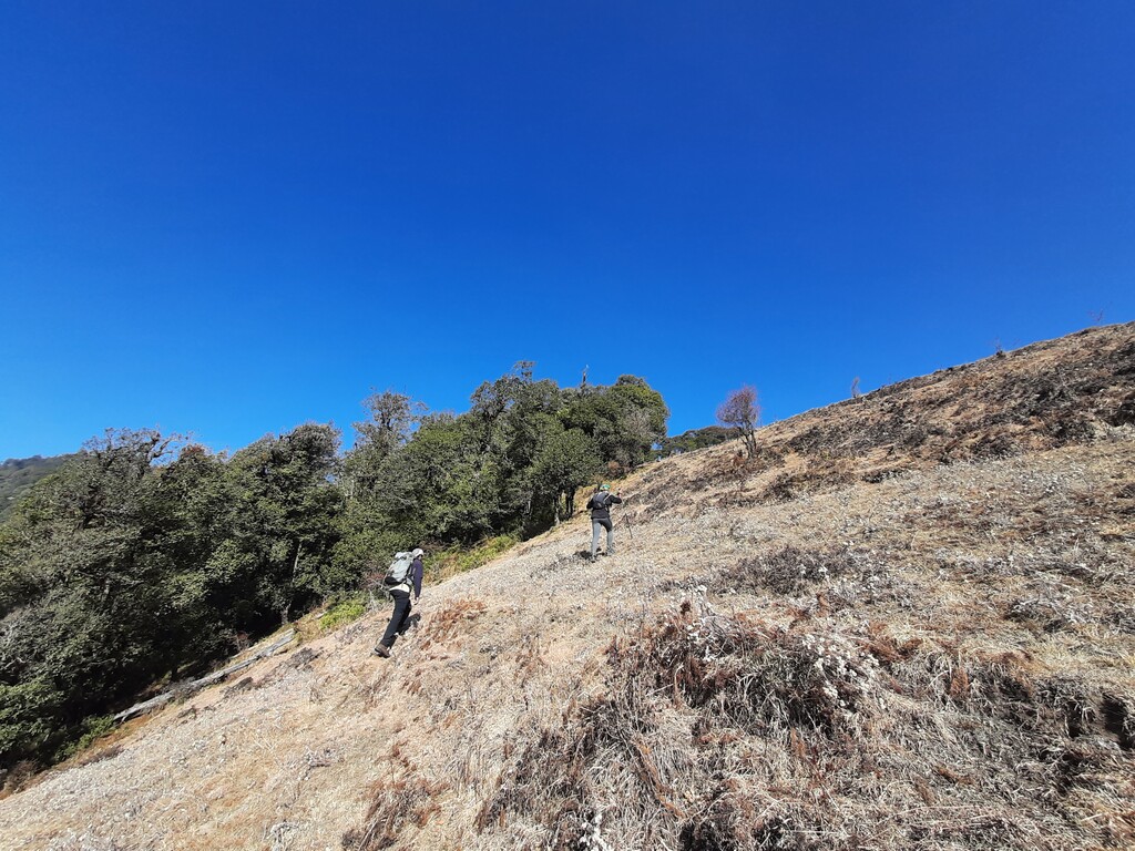
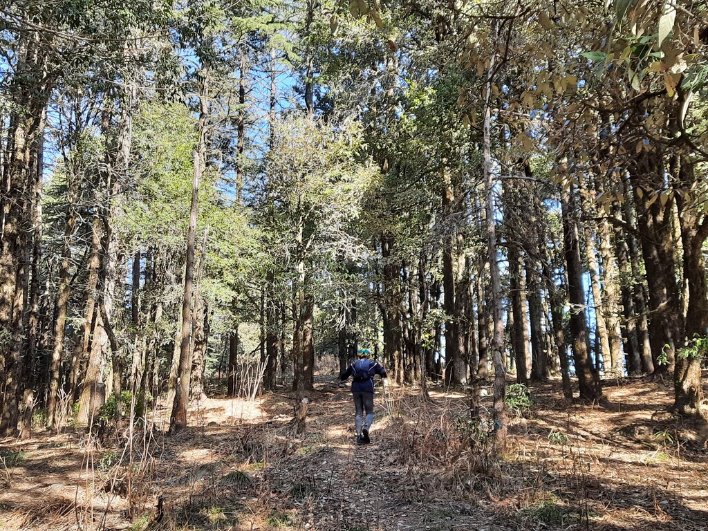
First part of the route is a climb from the Devalsari forest guest house towards Luntsu I peak. Cross the village of Parkot and climb into the forest area to reach the local ridge. At the local ridge, there will be a “money tree”, a tree with old coins stuck in its bark. From there, follow the ridge towards Luntsu I top. Luntsu II top should also be touched as part of the route. One can do either in any order, but both tops should be covered.
After reaching the top of Luntsu I & Luntsu II, navigate back down to the “money tree” and take the (south west) ridge towards Nag tibba top. There are no villages or reference points along this section, so navigation will be key.
Reach the Nag Tibba top and navigate your way down using an alternate (off trail) route for a few kms. One can take the longer route via the Nag Tibba temple, but that will add time and distance. Rejoin the main Nag Tibba trail and follow it all the way down to Deolsari village.
From the village, follow the road back to the Devalsari forest guest house, the starting point of the route.
NOTES
- Excellent view of the Himalayan range on a clear day from Luntsu I and Nag Tibba
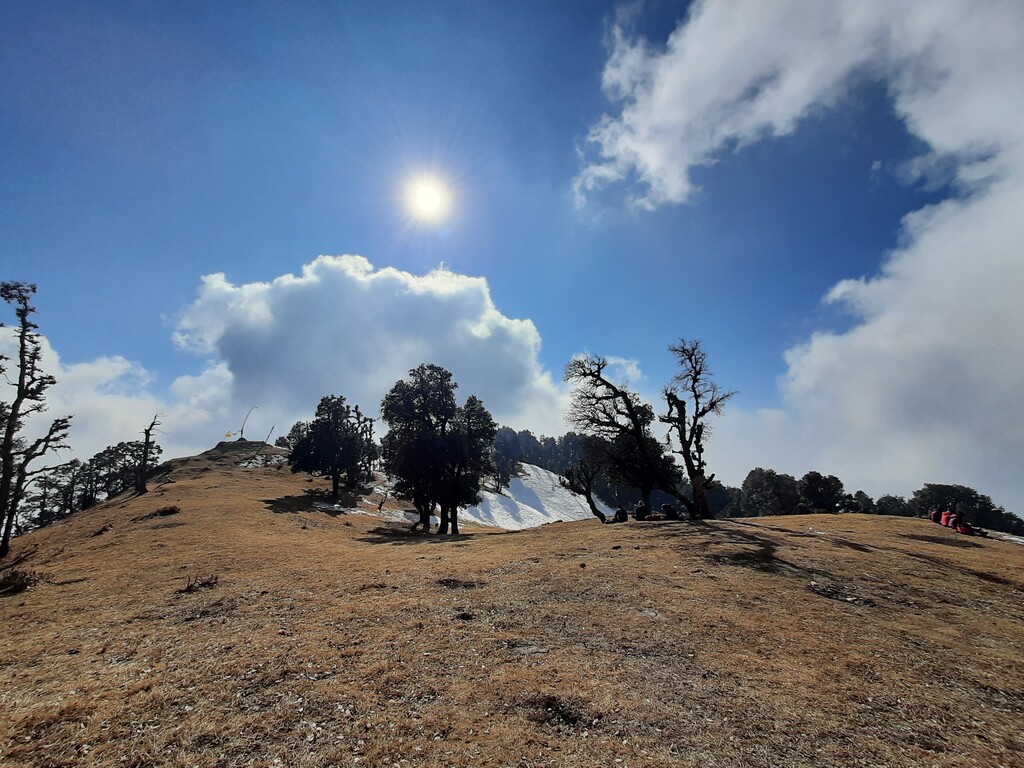
- Snow to be expected in patches in winter
- Limited to no water source during winter
BACKGROUND:
This FKT route was created as part of a collaborative project between Mr. Mohit Oberoi, veteran rock climber, triathlete and adventurer, and Mr. Nakul Butta, trail runner and outdoors enthusiast. Several local partners, from runners to local friends, have supported this initiative and helped with creating these routes.
While India has thousands of kilometres of pristine trails, very few are documented digitally. Our aim is to develop routes that allow individuals to test their abilities by moving fast & light, while enjoying some iconic parts of the country, specifically in the Indian Himalayas.
We hope this will help create a FKT culture in the country for years to come.