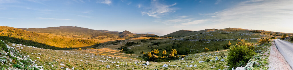
The Dinaric Alps are one of the most rugged and extensive mountainous areas of Europe, extending for approximately 645km (400 miles) from the Italy/Slovenia border in the NW to Albania in the south.
The Via Dinarica trail is a 1260km mega trail following the natural flow of the Dinaric alps and visiting many of its numerous karstic mountain tops.
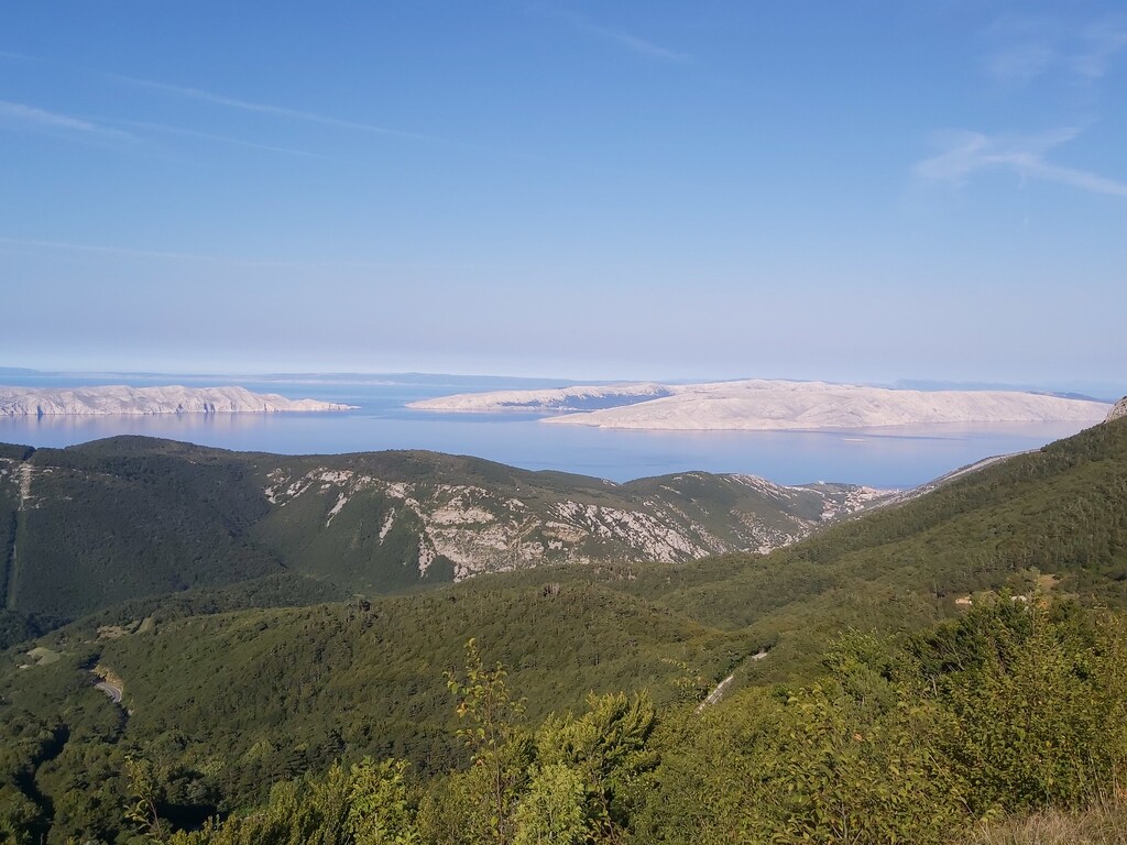
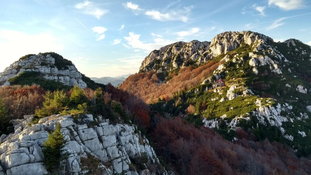
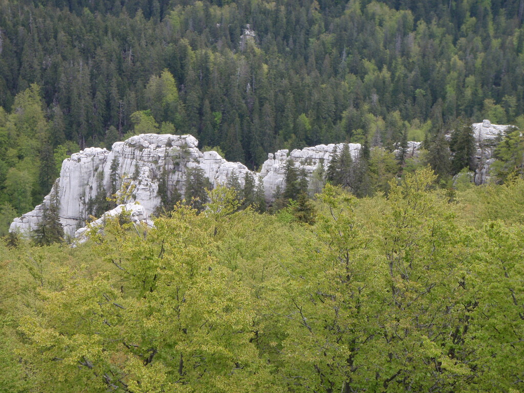
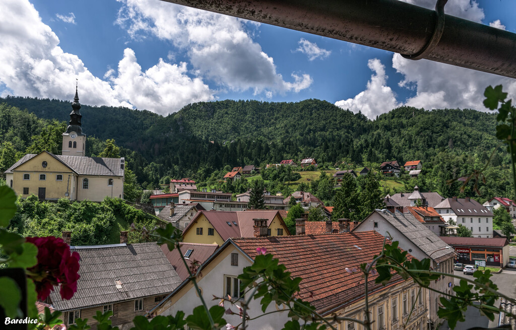
This route is part of the Via Dinarica starting on the border of Slovenia and croatia in the pretty riverside town of Čabar. The route follows mainly forest trails southwards through the heavily forested and mountainous region of Gorski Kotar, visiting the source of the river Kupa and the highest mountain Risnjak (1528m asl) in the Risnjak national park before passing nearby the lakes Lokve and Bajer. The second half of this 160km (100 mile) trail continues to visit numerous 1000m plus peaks before heading towards the adriatic coast and down to the finish at the seaside town of Senj.
More info on the Via Dinarica trail can be found on the trail website: https://trail.viadinarica.com/en/
A more detailed route of this trail in particular (via dinarica, croatia northern section) can be seen on strava here: https://www.strava.com/routes/2757714053322565778