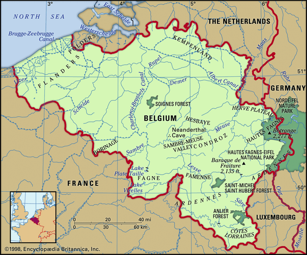
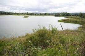
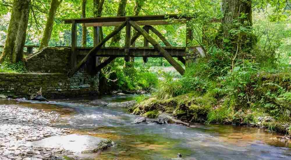
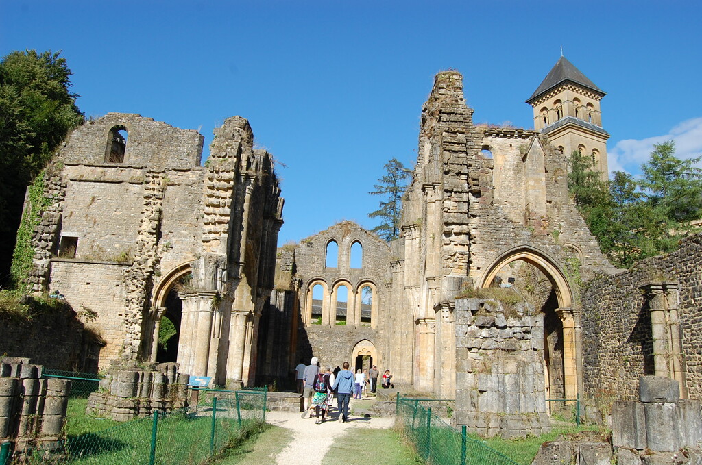
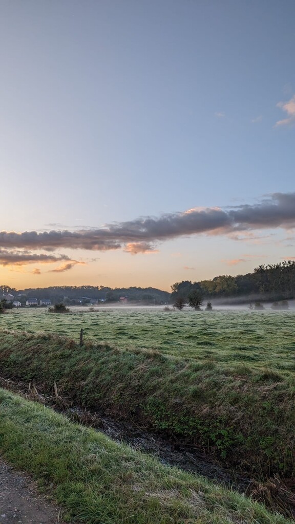
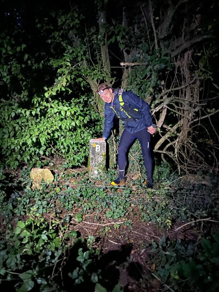
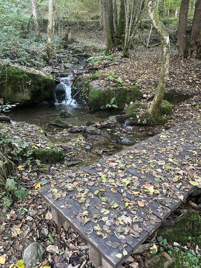
De route start bij de Noordelijkste grenspaal van België. Dit is in Meersel-Dreef. Dan loopt het eerste deel door veel vlakke bospaden en zo veel mogelijk onverhard. Hoe verder je komt hoe meer het landschap veranderd. Na Leuven komen er heel veel glooiende grasheuvels en richting Namen beginnen de echte hoogtemeters te komen. De finish is bij de zuidelijkste grenspaal in Torgny. Zo heb je heel het land doorkruist van noord naar zuid. Prachtige route.
English: The route starts at the northernmost border post in Belgium. This is in Meersel-Dreef. Then the first part runs through many flat forest paths and as much unpaved paths as possible. The further you go, the more the landscape changes. After Leuven there are many rolling grass hills and towards Namur the real elevation gain begins. The finish is at the southernmost border post in Torgny. In this way you have crossed the entire country from north to south. Beautiful route.
French: Le parcour commence au poste frontière le plus au nord de la Belgique. C'est à Meersel-Dreef. Ensuite, la première partie traverse de nombreux sentiers forestiers plats et autant de chemins non pavés que possible. Plus on avance, plus le paysage change. Après Louvain, il y a de nombreuses collines herbeuses et vers Namur le véritable dénivelé commence. L'arrivée se fait au poste frontière le plus au sud à Torgny. Vous avez ainsi traversé tout le pays du nord au sud. Bel parcour.
The route was constructed and run by Addie van Der Vleuten as a fund raising challenge to support the Brain Tumor Fund and his running buddy Margret.
In order to do this challenge you have to bring the gpx or have access to the route by other means. You are welcome to also run in support of a Cancer Research fund.