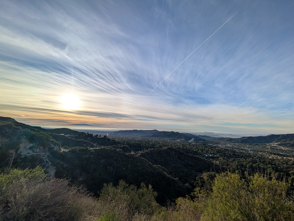
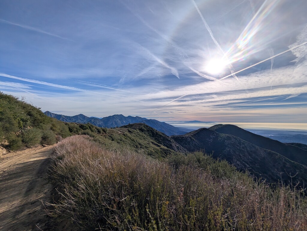
Starting in the city of La Canada on Earl Canyon Motorway you make your way up the fire road about 2 miles until it turns into a smaller trail. That then that joins Mt. Lukens fire road, taking that to the peak at 5,075 ft (tallest mountain in LA City). Then taking Haines Canyon down to Rim of the Valley, then out to Deukmejian Wilderness Park. Beautiful views across the city to downtown and beyond if you're lucky to have a clear day!