Le Eastern Boundary 3000 Footers est un défi de peakbagging (cueillette de sommets) créer par un aventurier notable du Québec, Christopher Shorkey.
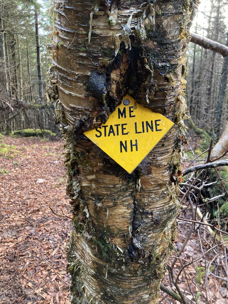
Le challenge consiste en rejoindre, à pied, les sommets de 2999 pieds et plus qui longent la frontière Est du Canada avec les États-Unis.
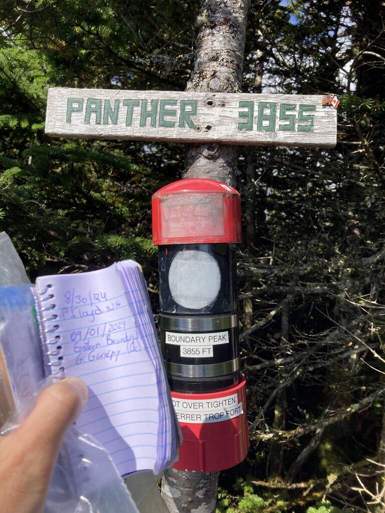
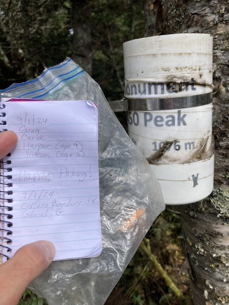
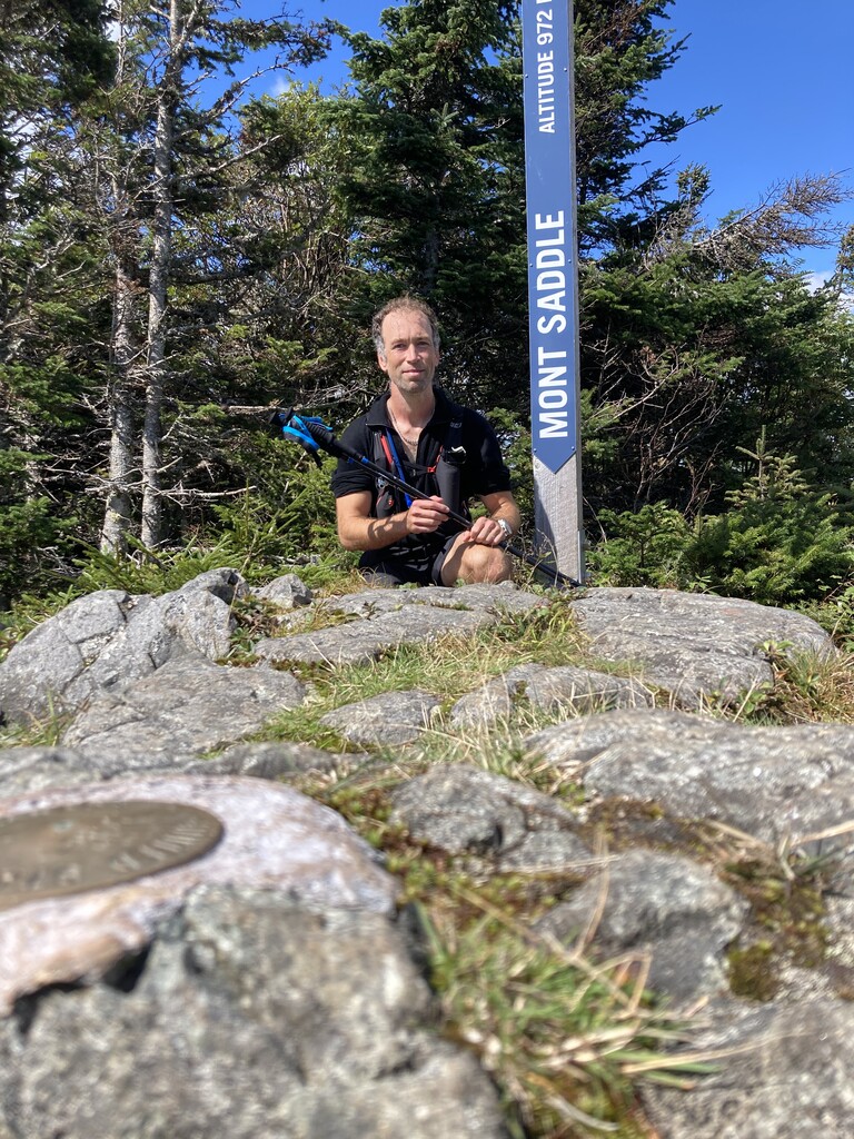
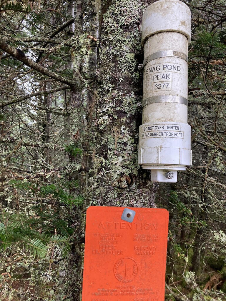
Les 10 sommets sont Boundary Peak, Cap Frontière, Monument 450 Peak, Salmon Mountain, Snag Pond Peak, Mont Saddle Hill East, Mont Saddle Hill, Oxbow Mountain North, Montagne de Marbre et Mont d’Urban.
Il y a un groupe Facebook organisé pour ce défi.
https://www.facebook.com/share/g/19XAo9szg5/?mibextid=wwXIfr
Il y a aussi une liste Peakbagger disponible.
https://www.peakbagger.com/List.aspx?lid=-942073&cid=27195&fbclid=IwdGRjcANbXehleHRuA2FlbQIxMQABHm3QiRglt8-CnBuVCksWf-Ng6iCsOv0q1jqAWMQlq3duGVhUooyCtGqKhxnr_aem_b-FImNGkx076Q14KbdNK5w
————
The Eastern Boundary 3000 Footers is a peakbagging challenge created by a notorious Quebec adventurer, Christopher Shorkey.
The challenge is to reach, on foot, the summits of 2999 feet and above that follow the eastern Canadian border with the United States.
The 10 summits are Boundary Peak, Cap Frontière, Monument 450 Peak, Salmon Mountain, Snag Pond Peak, Mont Saddle Hill East, Mont Saddle Hill, Oxbow Mountain North, Montagne de Marbre et Mont d’Urban.
There is an Facebook group dedicated to that challenge.
https://www.facebook.com/share/g/19XAo9szg5/?mibextid=wwXIfr
There is also a Peakbagger list available.
https://www.peakbagger.com/List.aspx?lid=-942073&cid=27195&fbclid=IwdGRjcANbXehleHRuA2FlbQIxMQABHm3QiRglt8-CnBuVCksWf-Ng6iCsOv0q1jqAWMQlq3duGVhUooyCtGqKhxnr_aem_b-FImNGkx076Q14KbdNK5w
Most of the peaks (7 of 10 ) can be reached through the Sentiers Frontaliers. These are maintained by a non-profit association. Two peaks can be reached by following the border clearing from the Sentiers Frontaliers. The last one can be reached by following the road of la Réserve de chasse et pêche Arnold and going on one of the trail that goes in the direction of the border.
In any case, you never have to do a non-legal border crossing. The challenge can be done on both sides of the border but the .gpx submitted are from Canadian side.