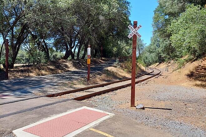
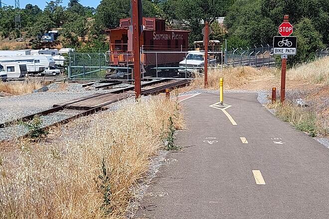
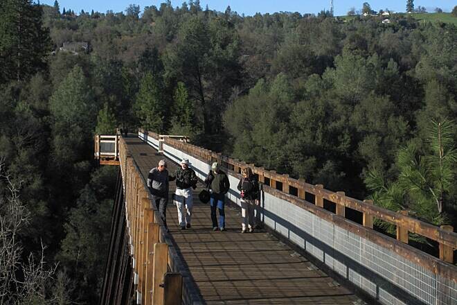
The El Dorado Trail offers a spectacular, continuous foot path that crosses the diverse ecological zones of the Sierra Nevada foothills, tracing the historic path of the Southern Pacific Railroad. Starting high on the ridge in Camino, it travels a net-downhill journey toward the Sacramento Valley floor outside of El Dorado Hills.
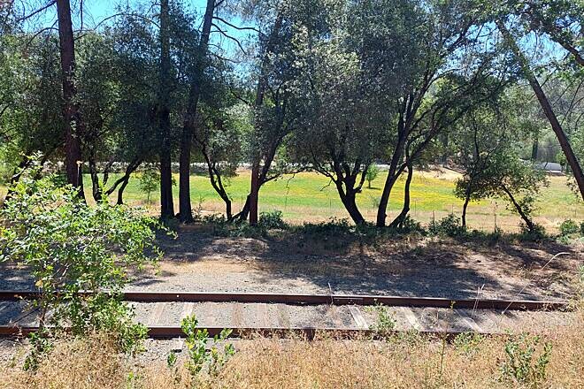
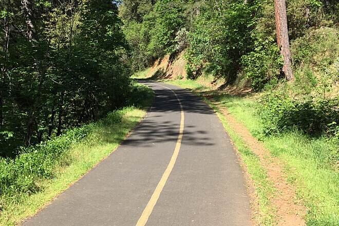
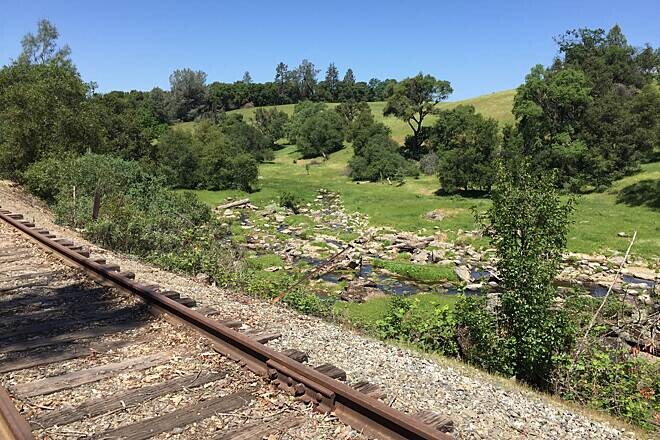
The first half of the route provides a smooth, paved descent through the historic Gold Rush town of Placerville and into Diamond Springs, winding under a cooling canopy of mixed conifers and oaks. The character of the trail shifts dramatically past Shingle Springs, transitioning into an unpaved, rugged historic railroad ballast grade. Here, the route plunges runners into a remote backcountry experience, cutting through isolated oak woodlands, chaparral, and rugged stream cuts. The final miles open into the wide, exposed grasslands near the Sacramento County line.
Official Route Documentation Website: For detailed historical background, trail conditions, and maps of both the paved and unpaved segments, see the official El Dorado Trail guide managed by the county and local preservation groups: