NOTE: Permit required! The permit can be accessed for FREE via the Andalucia government website linked below.
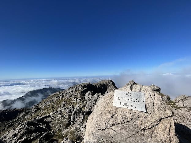
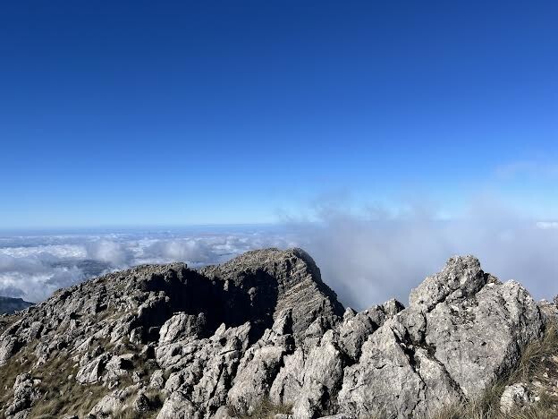
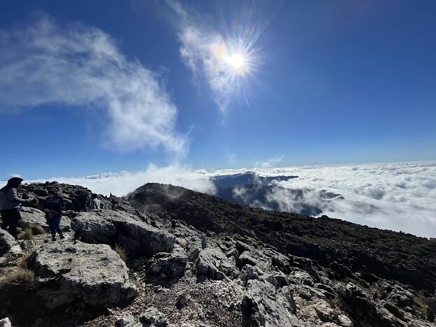
El Torreón towers over much of the provinces of Cádiz and Málaga, and can be easily viewed from the coast on clear days. Its stark cliffs, exposed rocky faces, and overt beauty make it a highly desirable summit. The views from up top are breathtaking, including vistas of the entire Sierra de Grazalema and many of the famous white villages below. As the tallest peak in the Grazalema, it attracts heavy traffic including a number of runners. Close to the top, some light scrambling is involved but it is almost entirely runable (albeit steep).
The FKT route starts at the sign where you actually enter the trail (about 100m from the parking area), and terminates when you reach the "Pico Torreón" sign on the summit.
More information, as well as the permit form, can be found on the route website here: https://www.juntadeandalucia.es/medioambiente/portal/web/ventanadelvisitante/detalle-buscador-mapa/-/asset_publisher/Jlbxh2qB3NwR/content/el-torre-c3-b3n