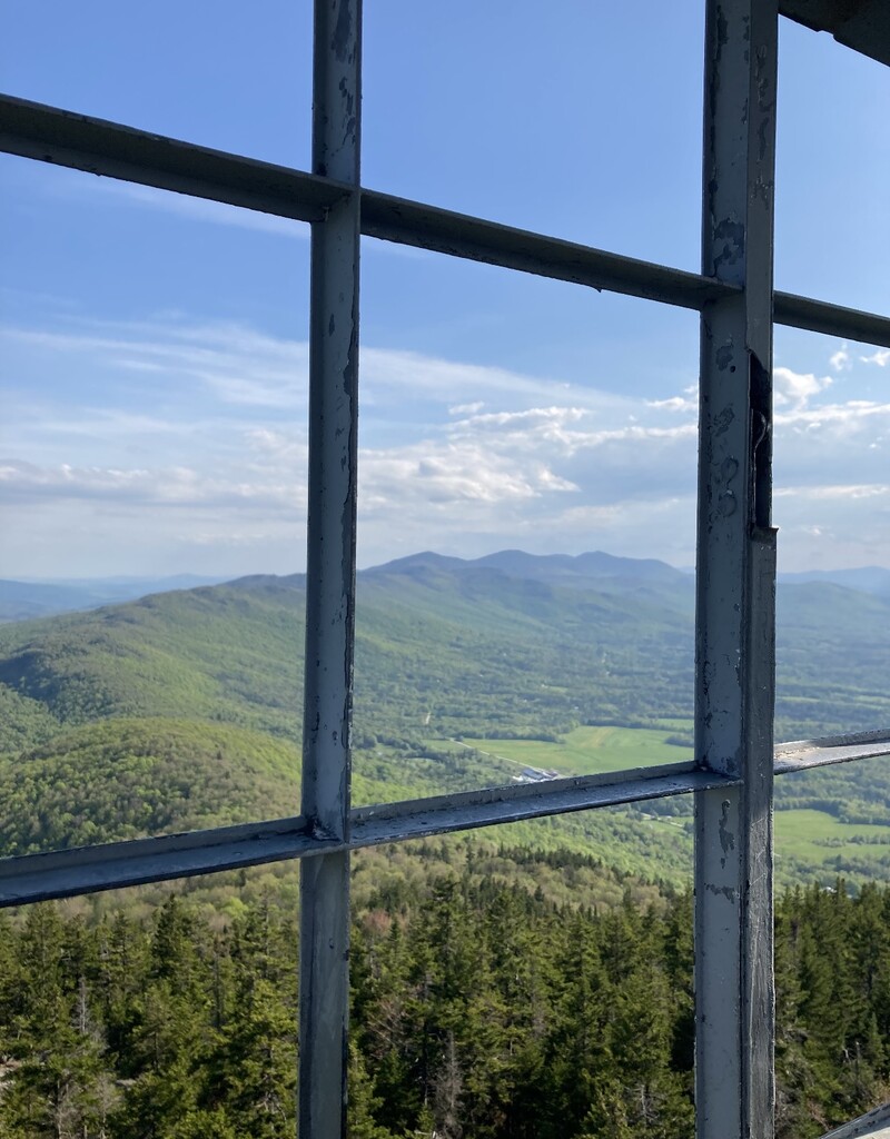
Route: Elmore Mountain (VT)

Submitted by Lillykeller on Thu, 07/07/2022 - 08:50am
Location
Vermont, US
Distance
4.02 mi
Vertical Gain
1,213 ft
Description

A moderately challenging hike that explores the quiet, calm of the 'beauty spot of Vermont.' Containing two trails, the Ridge trail, which is 2.3 miles, offers a more gradual, steady incline to both balancing rock and the fire tower, and the Fire Tower trail, which is more direct and a steeper climb that brings hikers to the foundation of the ranger's cabin before the final climb to the tower. The most common route between locals and tourists is the loop, which amounts to 4.03 miles and 1,213 ft in elevation gain. Elmore offers the perfect short hike for anyone looking to enjoy the summer and fall weather while also getting decent mileage and exercise. 

GPS Track
Images