A technical route starting by the Emosson dam (Switzerland), finish in Servoz (France).
ROUTE:
Park the car by the cafe; start from here.
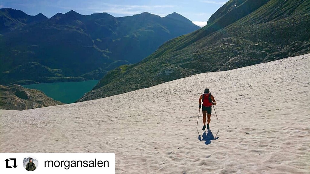
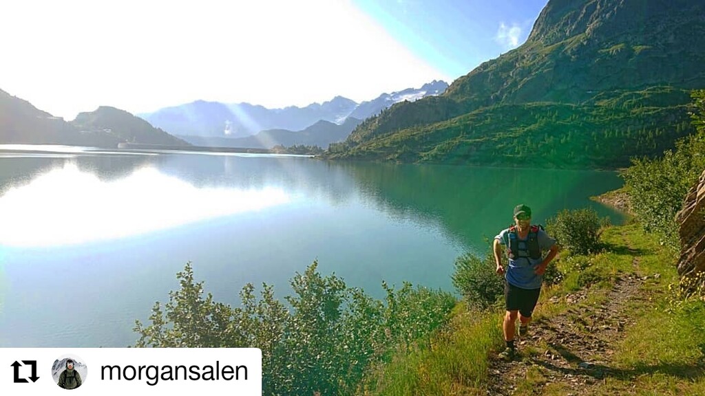
Run across the dam and follow the lake on trails that are growing smaller and smaller. Cross a snow field and gain some height on this.
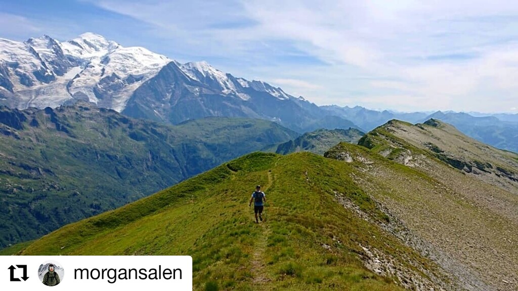
Go around so you can traverse and gain the Col Tanneverge. Now you are on the ridge; follow it.
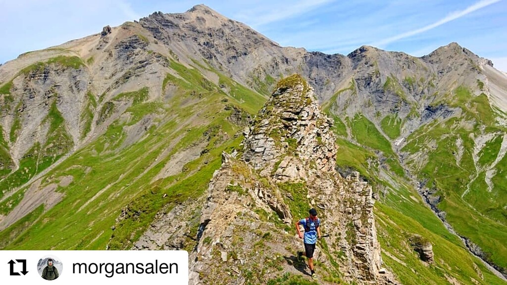
The first real challenge is gaining Pointe de la Fenive. It looks pretty wild. But climb right of the crest at the start and then move to the left side, loose and steep.
This passage can be seen on one of the photos.
Back on running terrain.
Follow the ridge again. Pointe de Cavales also poses some problems. Exposed and loose, but easy. But again, care is needed. You gain some hanging scree ledges before gaining the ridge again.
Tete de grenairon cannot be passed. A descent is needed to go around (400 meter or so).
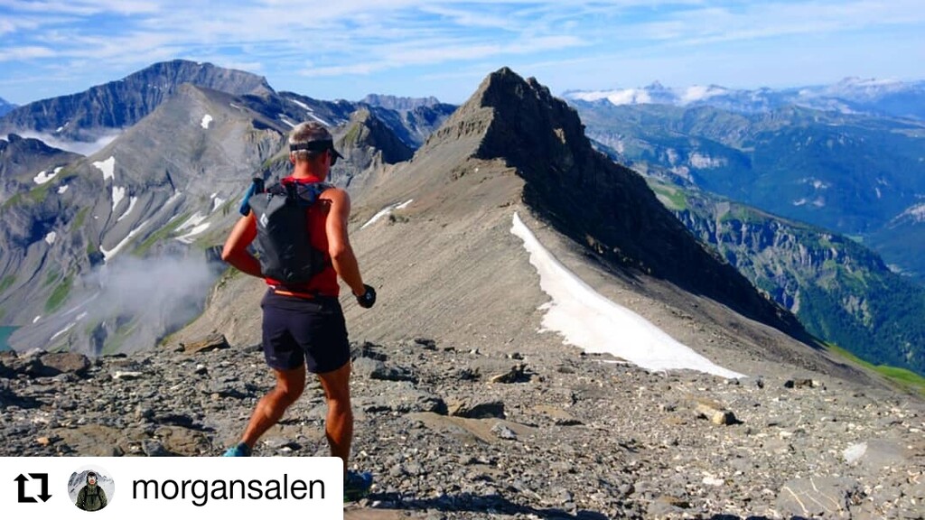
Gain the ridge again and follow it to Cheval Blanc.
From here to Mt Buet it is straight forward. Amazing!!
From Mt Buet follow the SW ridge to Col des Chaux. (see info in notes)
Follow ridge to Tete de Villy and all the way to Col d´Anterne and down to the hut.
After this, follow signs to Servoz.
Route stops at bus stop in Servoz(see GPS).
NOTES:
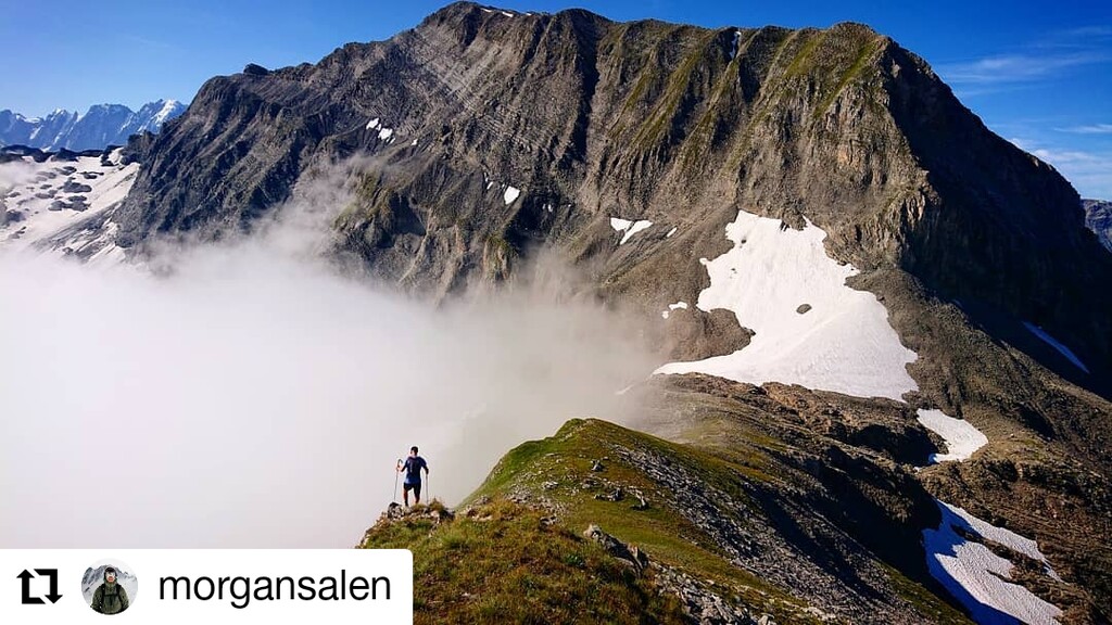
Wild outing. You are more or less guaranteed to be on your own until you reach Cheval Blanc. And after you have left Mt Buet you wont see much life until at the Moede Anterne hut.
The route is not for people who are afraid of heights and haven't moved quite a bit in exposed terrain that requires some climbing.
But if you can be on the move for a while and enjoy doing something different, this is highly recommended.
There are no ways to get water until you reach the hut. 4h to the hut I think needs to be considered to be a very fast time, so bring whatever you need for that, and more.
Note that the GPS track is not perfect. I belive you don't have to descend as far as we did after Mt Buet only to climb back to the ridge and Col des Chaux. It should be possible to follow the ridge the whole way, but think we missed it.
Transport back is a bit of a mission. But that can always be sorted in one way or the other.
37.2 km ; 2,250 m elevation gain
- Submitted by Morgan Salen