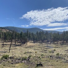
Escudilla Mountain, at 10,916 feet, is the 3rd highest mountain in Arizona. It sits just 3.5 miles from the Arizona-New Mexico border in the Escudilla Wilderness, which is part of the Apache-Sitgreaves National Forest. The area is ecologically interesting; it was designated a Research Natural Area (RNA) because it is such an extensive example of natural reclamation after a wildfire in 1951. It was also heavily impacted by the Wallow Fire in 2011. Aldo Leopold’s Sand County Almanac, an important work in the American conservation movement, discusses Escudilla as the site of the last grizzly bear to be killed in Arizona in 1936.
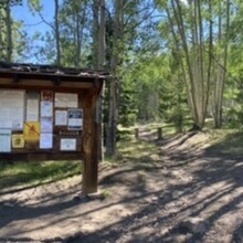
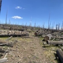
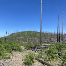
The route ascends and descends Escudilla via the Escudilla National Recreation Trail, approximately 3 miles each way. Some portions of the trail are very rocky and technical, particularly in the final approach to the summit. The lookout tower on top of Escudilla is closed to the public due to fire damage. There are also many downed trees along the route, but none of them obstruct the trail, making it an overall smooth run aside from the rocky sections. There are many aspens along the trail, so this run would be particularly beautiful in the fall!
https://www.fs.usda.gov/recarea/asnf/recreation/hiking/recarea/?recid=45293&actid=50


