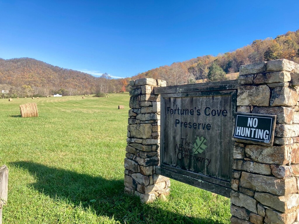
Route: Fortune's Cove Preserve (VA)

Submitted by Craig Randall on Fri, 11/06/2020 - 02:32pm
Location
Virginia, US
Distance
4.76 mi
Vertical Gain
1,706 ft
Description

There is an upper loop and lower loop option in the Fortune's Cove Preserve. This route is for the "upper" also called "yellow loop" – the start and finish is the one-way trail sign just off the white gravel road near the parking lot. This route submission omits the "overlook" spur to the true summit (<.10 miles to the unattractive cell towers).

The beginning of the loop is steep and gains ~1,300 feet in just over two miles. It's another 400 to the junction where it loops back downhill. There are many yellow arrows nailed to trees to help indicate the route. In fall the entire trail is covered in leaves so the signs are very useful. There are a few sections of exposed rock and on the descent many water bars. The humidity and leaves make the trail quite slippery. The trail's elevation gain is deceptive compared to runs with similar gain over ~3 miles in that it rolls often and provides a chance to get your legs rolling quickly again.

The route wraps around this stunning and idllic cove - there are no dogs allowed so runners can open up the legs without worrying about getting nipped. The beauty, sharp elevation gain, and short distance creates a perfect sub-1 hour loop for fast trail runners.

Additional: Excellent description and history by Virginia Official Tourism describing the land acquisition by the Nature Conservancy.

Images