The Frisco Highline Trail https://www.ozarkgreenways.org/explore/greenway-trails/frisco-highline-trail/ is a scenic rails-to trail path that winds 35 miles through the picturesque Ozarks, connecting Springfield to Bolivar, Missouri. The trail was designated a National Recreation Trail by the National Park Service and American Trails in 2004.
President Harry Truman rode the historic Frisco Highline in 1948. Truman rode the 35 miles from Springfield to Bolivar and back in his private railroad car, warming up for his famous “Whistle Stop Campaign" that would get him re-elected as President that year. The tracks are gone now, the old stations have been torn down, and the wail of the steam whistle has been replaced by bird songs.
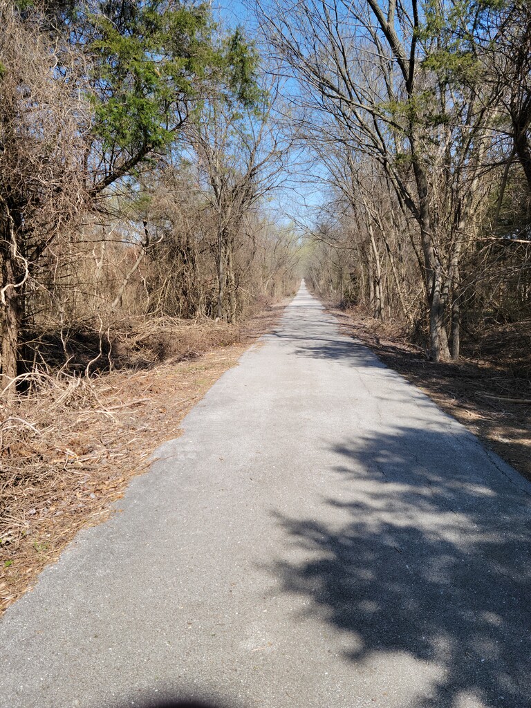
As a rail trail, elevation change is limited, with gradual grades of about 1%-2%. Running from Springfield to Bolivar is a net downhill run. The reverse, Bolivar to Springfield, is a 3% net elevation gain. The trail is paved for the first 8 miles out of Springfield on the south end, and from about 4 miles out of Bolivar on the north end. The remainder of the trail, 18+ miles from the city of Willard to Bolivar, is compacted crushed gravel.
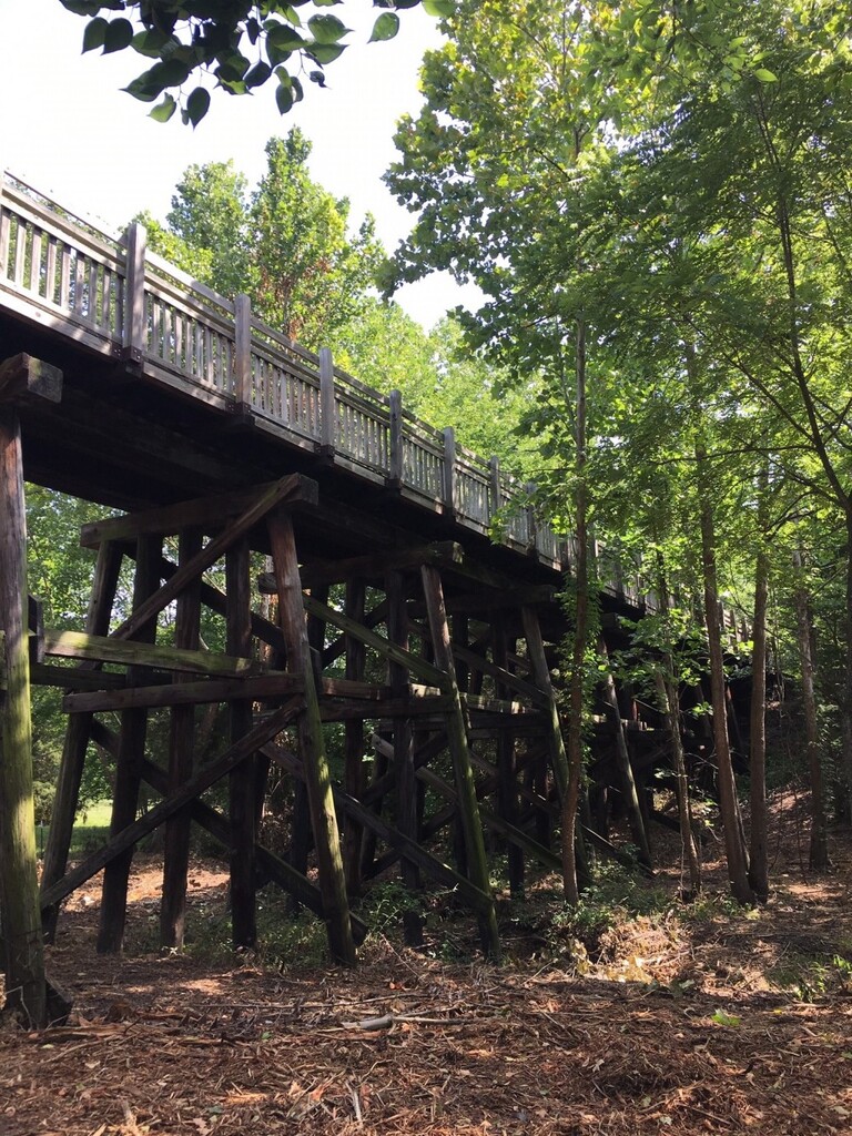
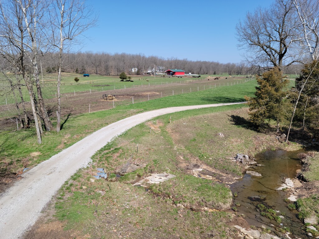
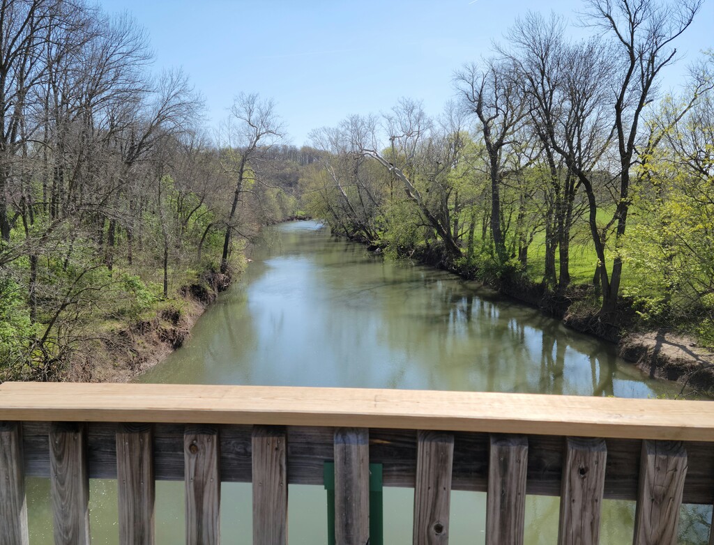
The northern 17-mile half of the Frisco Highline Trail travels through Polk County, and includes sixteen bridges along its route. These very same bridges used to carry trains, but today bicyclists, runners, and walkers cross over these historic structures instead. Each bridge is unique, as is the beautiful scenery of the northern section of the trail, which also features farmland, creeks and rivers and the stunning and rare La Petite Gemme Prairie https://ozarkgreenways.org/news/mile-32-la-petite-gemme-prairie/, the only publicly-owned virgin prairie in Polk County. Native tallgrass prairies once covered nearly a third of Missouri. Now, less than .05% remains. This piece of Missouri’s natural heritage is indeed a rare jewel!
The route can be extended to 37.5 miles should you choose not to cross highway 13 at around mile 32, and instead follow the markings to go underneath the highway.
The south end of the trail is in Springfield, at the trailhead located at the intersection of N Rural Avenue and W Kearney Street, address 3845 W Kearney, Springfield, MO. The north end is in Bolivar, MO just past the Broadway Street Bridge at West Fair Play Street.
PDF trail map: https://www.ozarkgreenways.org/workspace/media/uploads/frisco-highline-trail-detail-map_23_1.pdf