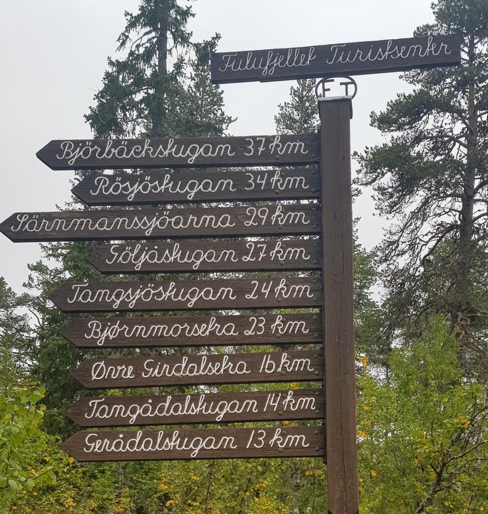
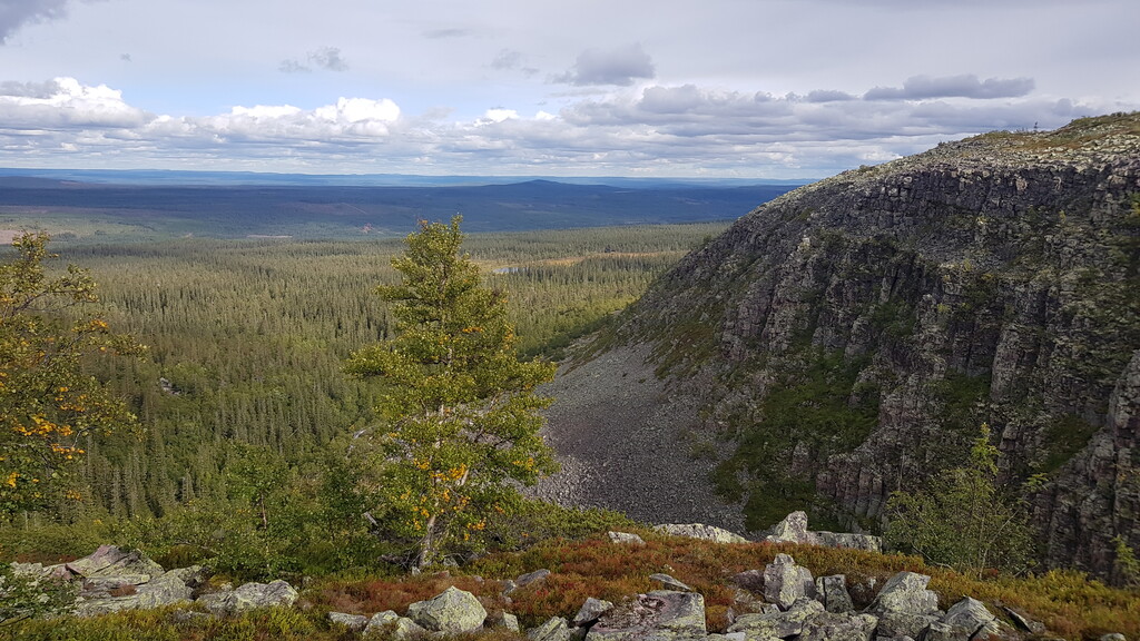
Fulufjället National Parks is both sides of the boarder between Sweden and Norway. The route goes from the main Norwegian entrance to the park close to Ljørdalen, (Norway) to the main Swedish entrance, close to Mörkret (which translated in English means "The Darkness"!), across the mountain Fulufjället ("Fulufjellet" in Norwegian). At the Swedish entrance, there is a park information centre ("Naturum"). Very close to the northern end of the route, it passes Sweden's highest waterfall, Njupeskär. The trail is a bit rocky and tricky in both ends, but once up on the mountain it is easily run on flat, well marked trails. Close to the northern end (not along the route) is "Old Tjikko", the oldest living tree in the world.
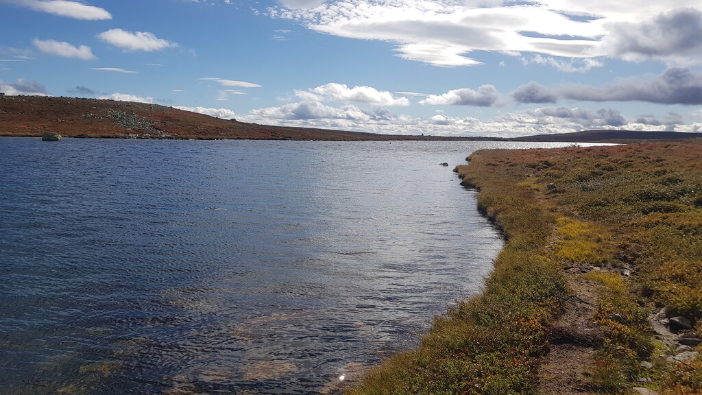
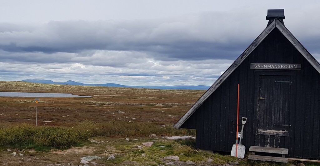
Most of the route follow the Swedish hiking trail "Southern Kingstrail". Along the route there are 3 cabins where you can overnight, and 1 shelter. Along the 23 northernmost kilometers, there are plenty of water available (water in Swedish mountains is generally drinkable). Route can be run in both directions, the height difference between the ends is very small. There are possibilities to make off-trail shortcuts - the trail is defined by the two entrances to the national parks.
More information about the national park is found here: http://www.sverigesnationalparker.se/park/fulufjallets-nationalpark/, map is found here: http://www.sverigesnationalparker.se/globalassets/fulufjallet/texsida-ovriga/fulufjallet-nationalpark-karta-bild.jpg


Comments
Bra gjort! Startade du i Norge, och i så fall hur "smiter" man in dit bäst.. ;-)