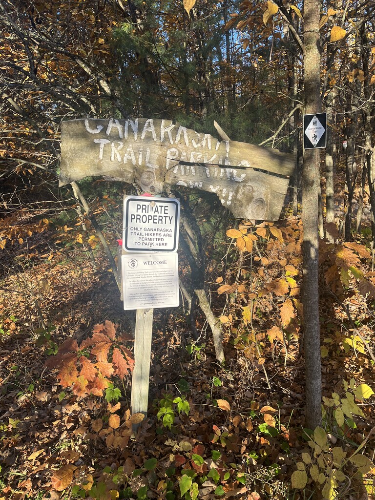
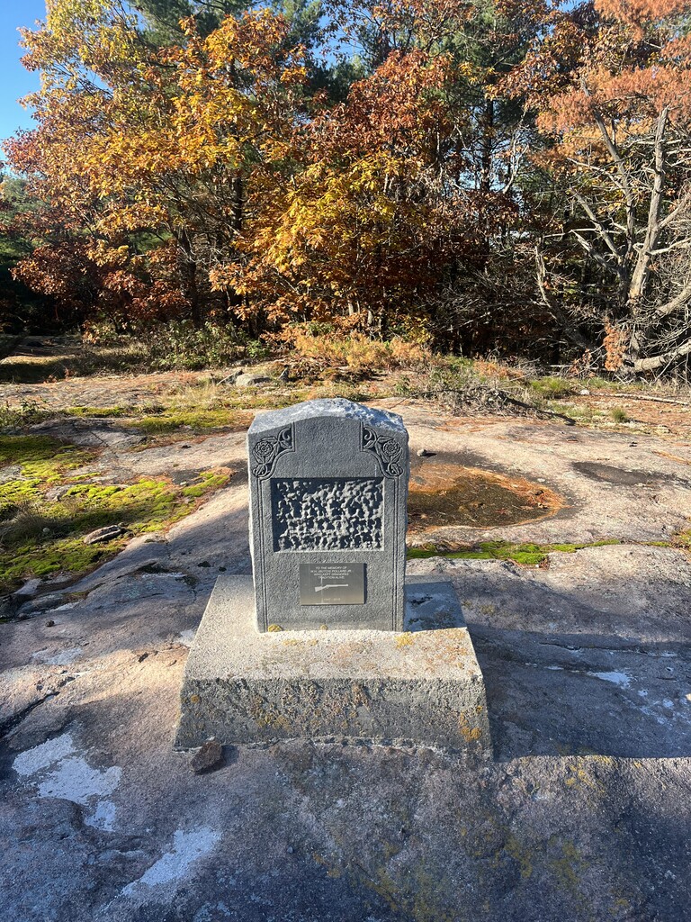
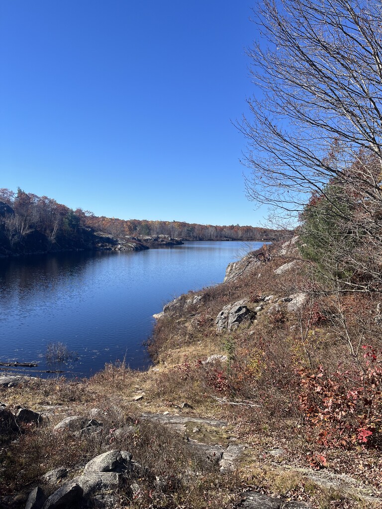
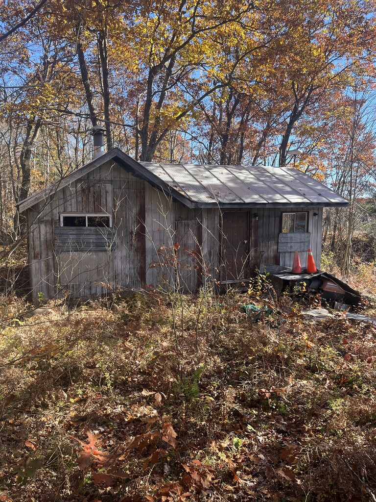
About the Ganaraska Trail: The nine section of the Ganaraska Hiking Trail Association Inc. maintain the 500 kilometre long Ganaraska Hiking Trail that is a recreational trail extending from Port Hope on Lake Ontario to the Bruce Trail near Collingwood, with side trails to Wasaga Beach and Midland.
Ganaraska Trail, Wildness Section
Variations:
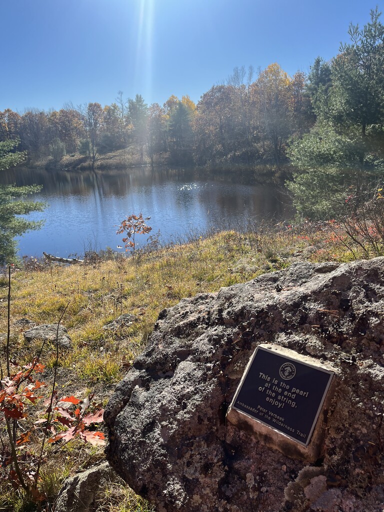
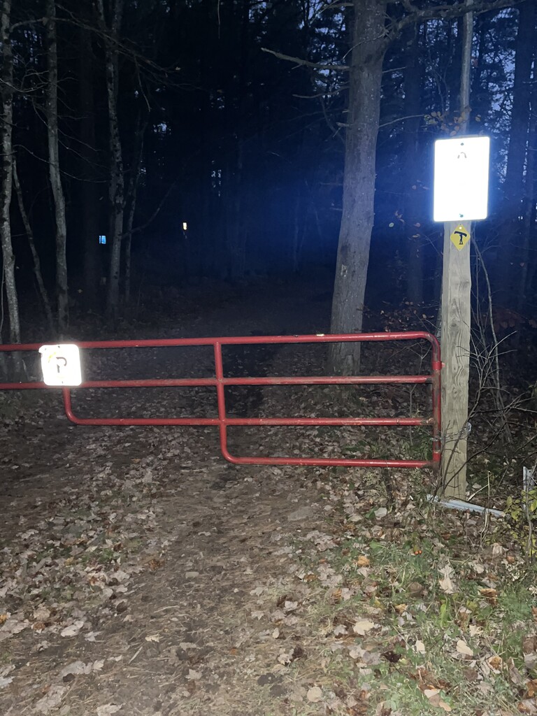
1. Falls 2 Falls (variation): Start in Moore Falls at the Ganaraska parking lot sign and finish at the red gate just before the Victoria Falls bridge (or visversa). See pictures. Follow the Ganaraska white blazes. Also download the ONDAGO app for navigation. This variation is 40km long with 1000 meters of climbing. This is all backcountry with no road crossings. Only experienced hikers should attempt. A PLB should be carried along with proper gear etc in case anything goes wrong. You will cross many beaver dams and tricky sections. There are enough good water sources to keep you well hydrated. I highly recommend attempting this in late fall since vegetation and bugs will be minimal. Also in the spring, the Montgomery creek crossing could have high water levels. Wearing pants is a must as much of this trail resembles a bushwhack. (GPX track attached to this route is for Falls to Falls)
2. Standard Route: This variation covers the entire Ganaraska Wilderness section. This means you complete Falls 2 Falls with the addition of Black River Road and Chisholm Trail(road). The official start or end is the parking lot sign in Moore Falls and Sadowa(corner of Sadowa Road and Chisholm Trail(road). Total distance is 71.5km.
https://ganaraska-hiking-trail.org/
https://www.ontarioparks.ca/park/queenelizabeth2wildlands
Notes: Queen Elizabeth II Wildlands can be a highly populated tick area. Additionally, it's important to wear orange during hunting season.