Route: Garland Ranch Figure 8

Submitted by jhath4 on Sun, 05/12/2024 - 07:02pm
Location
California, US
Distance
19 mi
Vertical Gain
4,400 ft
Description

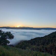
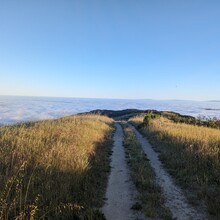
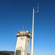
This mixed trail and road running route offers pristine views of Monterey Bay and Carmel Valley from Snively's Ridge and the Peñon Peak Fire Lookout. Trails vary from fire roads to singletrack to a 6 mile descent down Robinson Canyon Road. About 70% of the route is dirt and the remaining 30% is paved.

Route begins and ends at the Garland Ranch vehicle bridge.

Lupine Loop -> Maple Canyon Trail -> Sage Trail -> Sky Trail -> Snively's Ridge Trail -> Peñon Peak Fire Lookout -> Peñon Peak Trail -> Robinson Canyon Rd -> Holt Rd -> Horseshoe Trail -> Mucklehead Trail -> Snively's Ridge Trail -> Garzas Canyon Trail -> Waterfall Trail -> Lupine Loop

There are no permits required, and the entire route is publically accessible: https://www.mprpd.org/garland-ranch-regional-park

GPS Track
Images