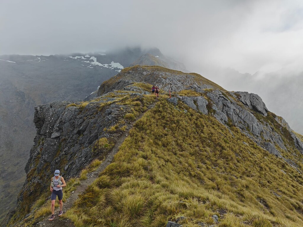
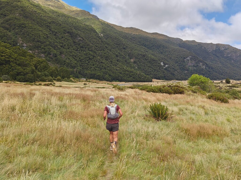
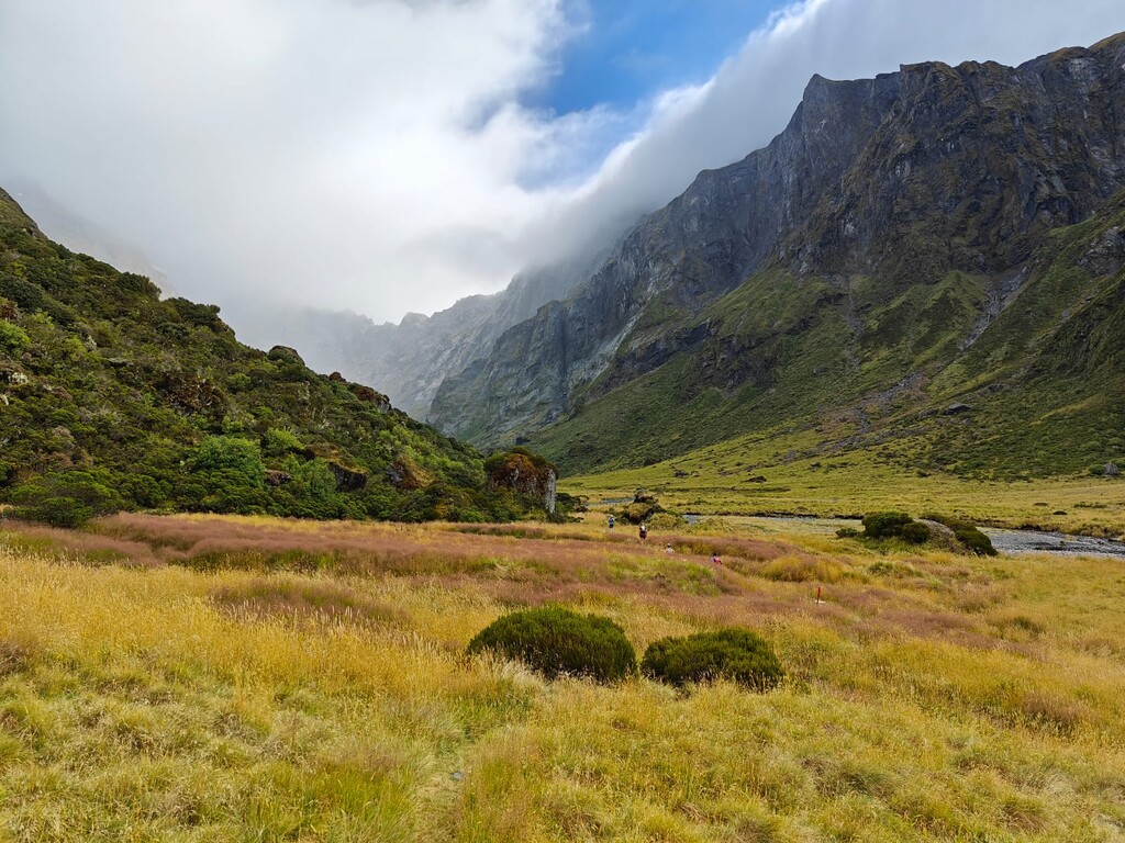
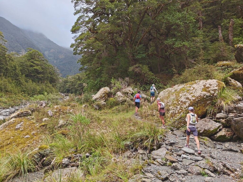
Gillespie Pass is a popular 3 day hiking trail an hour outside of Wanaka in Aspiring National Park. The trail is technical and steep in places but is mostly runnable for those good over tricky terrain. Around 80% of the loop is singletrack and 20% is unmarked river bed travel.
The FKT can be done in either direction, though it is mostly done anti-clockwise as this is the steeper climb and more runnable descent.
The start and finish are the carparks at either end of the loop. If anti-clockwise you will start at the small pull-in layby next to the main road (not the blue pools car park) and the finish at the grassy area where people leave the car on the bank of the Makarora. The GPS data for these start and finish points is accurate.
In terms of the route, there are 3 mandatory checkpoints, the Young Hut, Gillespie Pass and Siberia hut, you must go to all 3. Otherwise any route there is acceptable. Saying this you will want to follow the marked route for most of the circuit. The marked DOC route incorporates the high water detours. So there are a number of places you can save time by getting your feet wet and crossing the rivers. The GPS uploaded takes a number of these, most notably down the Wilkin River. Most hikers take the jet boat down the Wilkin River and so the trail is often vague and slow, the quickest route is down the river bed itself. Note this can only be done at low water.
River Crossings! The route has two mandatory crossings of the Makarora River. This is a big river and you should check both of these crossings out before you start. They are not possible at high flow and people have died trying (as recently as 2020). Also note the GPX should not be trusted for crossings as the river changes regularly.
The start and finish is not at the same place as there is 7km of main road connecting them. It is possible to do a car drop, hitchhike, cycle or even run the road.
Check the DOC website for track conditions:
https://www.doc.govt.nz/parks-and-recreation/places-to-go/otago/places/mount-aspiring-national-park/things-to-do/tracks/gillespie-pass-circuit/
Here is a video of our trip:
https://youtu.be/SZ3IIq_vsLU