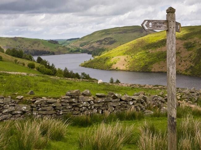
Location
United Kingdom
Distance
135 mi
Vertical Gain
23,629 ft
Description
GPS Track
GlyndwrsWay.gpx90.58 KB
FKTs
Male
| Dave Phillips | 1d 5h 19m 53s | ||||
| Jack Scott | 1d 11h 33m 47s |
Images


Comments
Lockdown rules allowing I will be running a supported attempt of this route in June 2021.
Date now confirmed, will be starting on 31/05/21. Tracking info will be available.
But late posting this but about to head of this morning.
https://track.trail.live/event/stevejames-pfm
Bit late posting this but about to head off this morning.
https://track.trail.live/event/stevejames-pfm