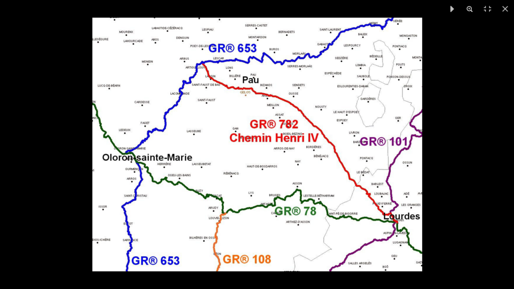
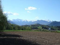
The Chemin Henri IV, famous in Béarn, connects Lourdes to Pau via an old Roman road. This GR® therefore extends over two departments, Hautes-Pyrénées and Pyrénées-Atlantiques. This historic road, probably a thousand years old as evidenced by the Fort de César and the dolmen of Peyre Dusets, linked Lescar, the former capital of Béarn, to Lourdes and, being established on the heights, made it possible to avoid the marshy plain of Nay on the edge of the Gave de Pau. In the direction described here, the GR® starts from Lourdes, where the GR® 78 and 101 pass. It joins the lake of Lourdes then climbs on the hillsides from where the view extends over the Pyrenees chain. Then, the route still continues on a ridge and almost straight to the northwest, skirting forest plots and crossing cultivation areas. The only village crossed is Saint-Vincent, halfway. Before the Hameau d'Ousse, the path passes the Fort de César (former feudal motte), then joins the Château de Franqueville in Bizanos. Then, the GR® climbs towards Pau, Beaumont Park and the casino, goes up the entire Boulevard des Pyrénées and ends at the foot of the Château de Pau. From there, it descends towards the Gave which it runs along, changing banks several times. It joins the GR® 653 a little before Artiguelouve. By this last GR® the runner will be able to reach Oloron-Sainte-Marie, the Col du Somport and Jaca in Spain.
Link to the website:
https://www.cdrp64.com/sentiers-et-topoguides/les-gr/le-gr-782/