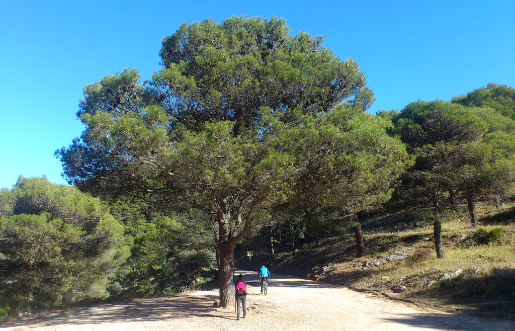
The GR249 circumnavigates the entire Málaga province in the southernmost part of Spain. It was created and fully waymarked in 2013 in an effort to draw tourists further inland, away from the popular coastal cities such as Marbella, Torremolinos and Málaga. This route consisted of 35 official stages totalling roughly 650 kilometers and 17.500 meters of elevation gain, as documented on https://www.gransendademalaga.es/en/.
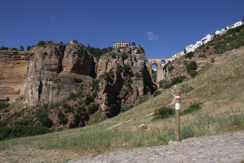
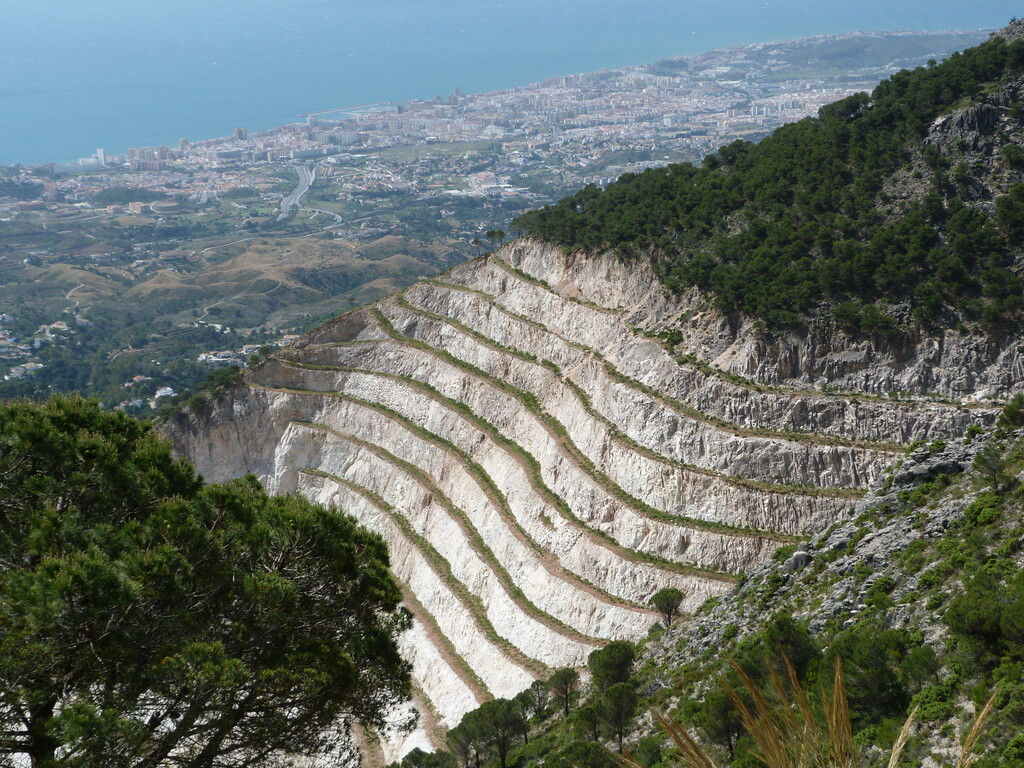
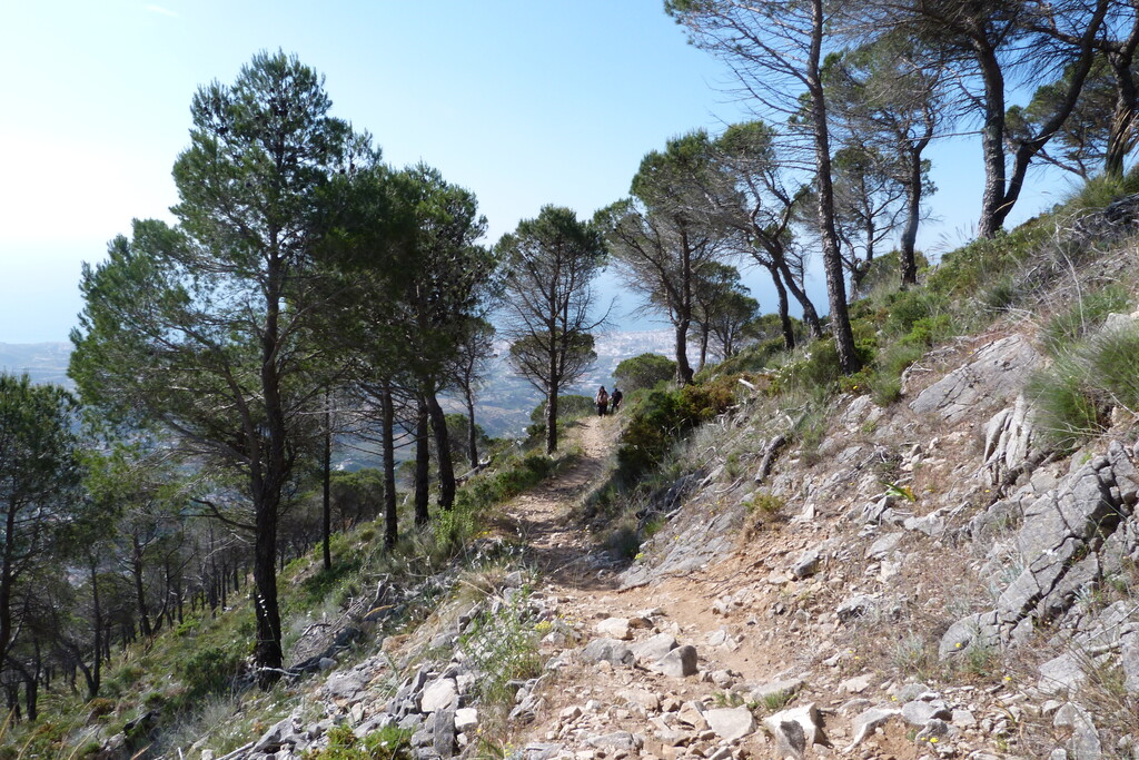
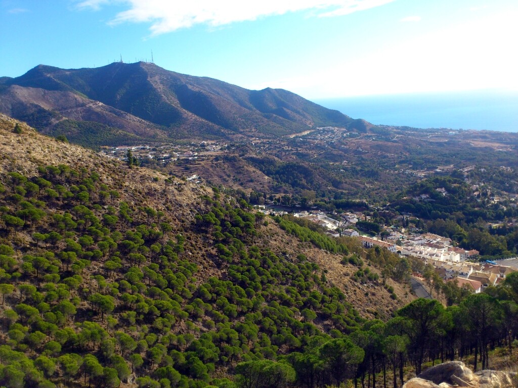
Terrain and scenery are varied: beach promenades, olive groves and steppe further inland, as well as some proper mountain sections. The underfoot conditions are equally changing: beaches, mountainous single track, rolling country roads and tarmac through rural villages. The temperatures, direct sunlight, lack of shade and drinking water should be the main concerns of anyone attempting this route in a single push. There aren’t many water sources to be found except in villages, which are sometimes 30 kilometers apart. Careful planning is needed to hit local shops during limited opening hours (which is a particular challenge on Sundays). Wild camping is strictly prohibited, but since it is a popular tourist destination there are plenty of hotels. A fully supported attempt should be a breeze since you're never further than 5k away from a spot accessible by car.
Some of the original stages from 2013 do not connect to the next one, ending just before a town and the next one starting beyond. To establish a logical FKT route, I overlaid the original gpx tracks on a recent topographic map on which the GR is marked. I then connected the tracks to create a continuous loop of a little over 663 kilometers, which is about 13k longer than the sum of the original stages. Wherever there was a discrepancy between the gpx tracks and the map, I chose to follow the GR as marked on the map as it is more recent. These later iterations add up to less than 2 percent of the total distance.
Since 2013, several additional alternative routes have been created, which I chose to ignore and stick to the original loop. The most logical start and finish location seems to be where stage 1 starts, on the coastal promenade of the city of Málaga. I will be following the gpx file I created, but if the waymarkings indicate otherwise I will follow those and alter the gpx course afterwards. As well as more detailed descriptions of the landscape, underfoot conditions, climate and whatever else I learn along the route.
The official webpage is https://us01.z.antigena.com/l/FPXO3bgmo77AGaz8H~qJt87DAa3K_jVXPKjoFmpASUsssHWG~R8orLWfUCiqJsrEoYkpppw3NRs-Els~wSQoLrqCCGjnPjp2Duq8SnKUW33Pot6DCmmM3lrAwVzKgnxwn0wX5OwXoz5g5mJfRkX7jFp9XFkuBOs2iu0OpvzstnGudC8C9BiSH2SMGdJPT0LT8awc2AaJ
Although some of the content is a bit dated and some of the gpx files don’t correspond to the actual waymarkings anymore, it still provides a ton of information, including a freely downloadble topo guide.