Het Graafschapspad
The 'Graafschapspad' is a regional path with a length of 125 kilometers through the Achterhoek. The route is marked with yellow-red signs in both directions. The path starts in Zutphen at the St. Walburgskerk and can therefore be walked in either direction, clockwise or counterclockwise. De Graafschap owes its regional name to the former county of Zutphen, a union of noble families, castle lords and cities. The literal translation of the dutch word 'graafschap' is county.
The county of Zutphen had four manors, with banner lords Bergh, Baer, Bronckhorst and Wisch. In 1650, historian Arend van Slichtenhorst (1616-1657) recorded an old saying.
''Bergh the richest
Bronckhorst the most noble
Baer the oldest
Wisch the boldest''
That the lords of Wisch are referred to as the boldest, the bravest, probably refers to their reputation as knights.
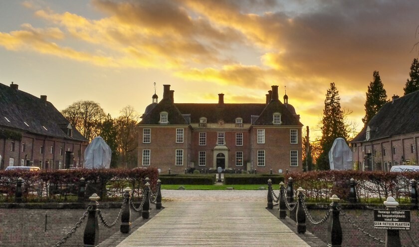
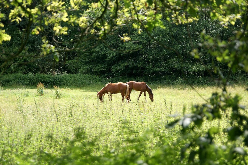
This is a beautiful circular walk in a surprising part of the Netherlands with a rich history. A varied foot trip through the IJssel valley with beautiful Hanseatic cities and the Achterhoek with fragrant forests and scenic landscapes where the view is always different. Small forests, beautiful estates and typical Saxon farms in the Achterhoek, with the swampy floodplains of the IJssel to the west. In addition to a lot of nature, you will also pass castles and old towns. But the route also shows the feudal past that has left countless testimonials in the landscape, from manor to estate and from city walls to the water mills of Borculo.
- https://www.vvvruurlo.nl/agenda/graafschapspad/
- https://www.wandelnet.nl/wandelroute/162/Graafschapspad/overzicht
- Submitted by Daan Nieuwenhuis
Comments
Daan, ik ben voornemens om het Graafschapspad Solo/unsupported te lopen. In de voorbereiding maak ik gebruik van de door jou gesubmitte kaart. As ik die vergelijk met de officiele route dan zie ik her en der wat kleine verschillen. Niets om me druk over te maken. Ik wil echter graag de volledige route correct gaan lopen. Wat is handig om te doen?
You should do the official route, and then when you are done you can provide us with a correct GPX track, and any notes about the route that will be helpful for others. Thanks and good luck!