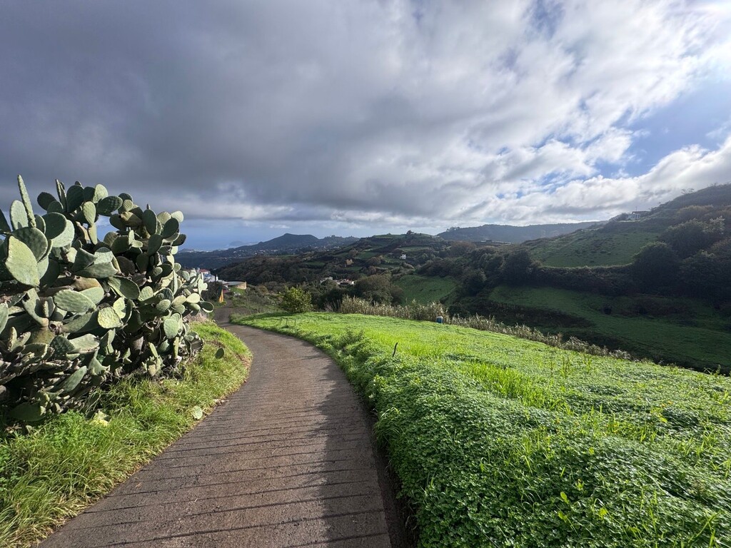
Route starts in the small town of San Andres. Immediatly into a spectacular deep ravine. Lush vegetation and dense green valleys. Gradually ascending until a steep section towards the town of Carreteria, first grocery store along the route.
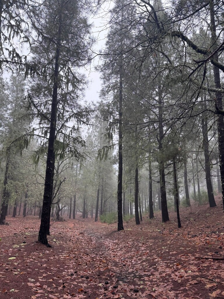
Then a continious ascent up the northern part entering forest landscape. The higest altitude along the route is approx 1700 meters.
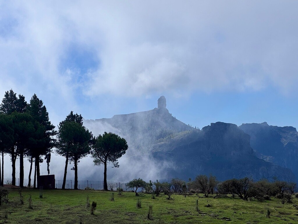
The climate changes dramatically when entering the southern part, the mountains create a natural barrier and moist climate is trapped on the north side.
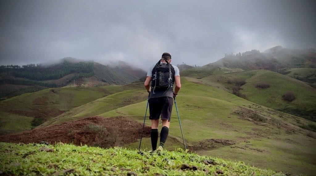
The route then gradually descends directly towards the south coast.