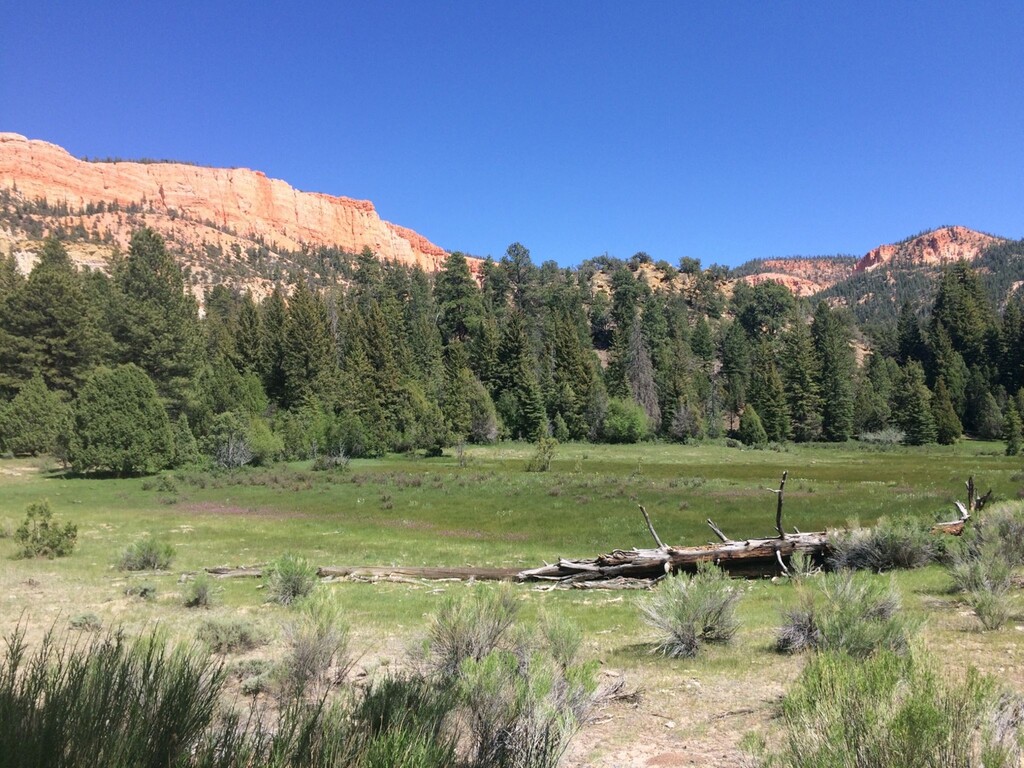
The Grand View Trail is a designated USFS recreational trail that makes a semi-circle around Bryce Canyon National Park. Sandwiched between the park on one side of the trail, and Grand Staircase Escalante National Monument for much of the other side, you can imagine the views to be quite grand, hence its name. I imagine traversing the base of the Pink Cliffs along the southern portion of the route will be one of many highlights along the way. Terminus trailheads are Thunder Mountain along Hwy 12, west of Bryce Canyon City, and Sheep Creek, SW of the town of Cannonville. There are numerous access points along the route (some require a 4X4 high-clearance vehicle), so running this trail supported/self-supported should be easily possible.
A Cal-Topo map can be found here: https://caltopo.com/m/M9QFN with some notes:
1. The water icons are potential sources of water, and have not been ground-truthed yet. They could change depending on time of year and annual rainfall amounts.
2. Many potential vehicle accessible trailheads along the route are marked with pine tree icons. Note these have not been ground-truthed at this time.
3. There are some discrepancies between the published 2016 FS map and the interactive USFS map on the route the Grand View Trail follows north of France Canyon. Where there are dissimilarities, the interactive map took precedence. https://www.fs.usda.gov/ivm/
Comments
I'm going to make an unsupported or self-supported (depending on the water situation, will check on Friday) attempt on this CW starting at Sheep Creek early Saturday morning May 27th 2023. My tracking is here: https://share.garmin.com/whereswoody
Should be a soft FKT, come and get it!
-Jason Wooden
Bailed at mile 55. Punchy 6’ tall drifts along the ridge above the Sunset Cliffs area stretched for miles. Compounded by many downed trees. Had enough crotch postholing for a lifetime.
Otherwise, this trail is well-designed, very well marked and aptly named. However, it’s overgrown in places from lack of use and maintenance. Lots of downed timber too. Did not see another person on the trail all day (Holiday Weekend) and not even any tracks. Unsure if the trail is in-shape enough for FKTs…
Strava and YouTube links:
https://www.strava.com/activities/9158493746
https://www.youtube.com/watch?v=Pyf0ocwL1_o
Part of me wants to delete this route due to the schwaky sections, but honestly it's likely no worse than the AZT in places.